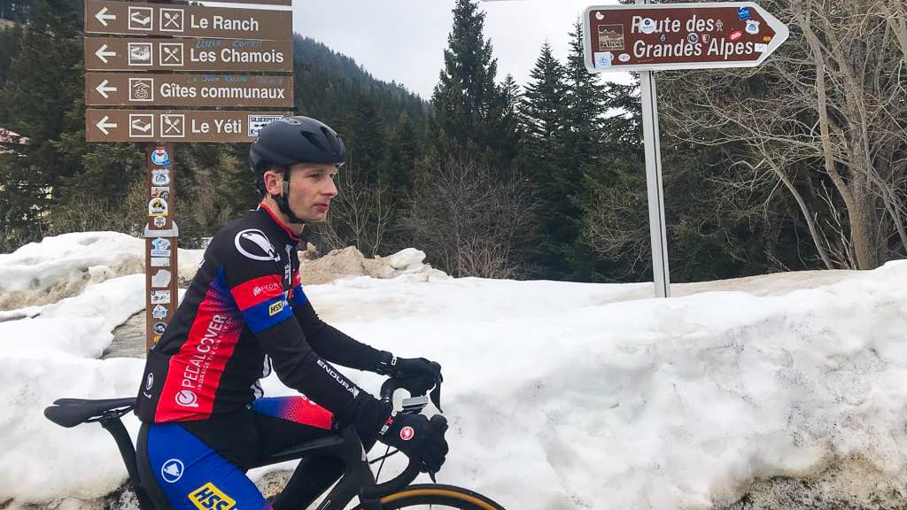
The Route des Grandes Alpes is one of Europe’s iconic cycling routes, taking you through the French Alps, from Geneva to Nice.
This 720 kilometre traverse of the Alps winds along mountain sides, glaciers, mountain pastures and forests, taking in around 17,100 metres of climbing and 18 major cols; mythical beasts such as the Col de l’Iseran, Col du Galibier, Col du Lautaret, Col d’Izoard.
It’s one of the must-do cycling tours in France (and Europe) but it’s not for beginners! I cycled the full Route des Grandes Alpes more years ago than I care to remember – but as a lover of the Alps, I frequently return to ride many of the iconic climbs found on the Route des Grandes Alpes.
I hope you find this in-depth article useful!

Kate is a passionate cyclist who has explored the world by bike, including Europe, central America and South East Asia. Kate is a key member of the Epic Road Rides team; when she's not busy commissioning articles for Epic Road Rides, you'll find her busy writing and editing articles herself.
Always check current travel information and advice. For visitors from the UK, the UK government travel information pages are here.
Note all distances and gradients etc in this article are approximate.
Table of contents
This guide contains a lot of useful information. To help make it more digestible, we’ve broken it down into several parts:
Part 1: Route des Grandes Alpes cycle route
Tell us about the Route des Grandes Alpes cycle tour
How did it start?
The Route des Grandes Alpes has its origins in 1860, when Napoleon III annexed Savoie and Nice to France. Following this, the army was instructed to build roads that would improve connections between the French valleys and the newly annexed regions of Savoie and Nice.
A few decades later, the Touring Club de France became interested in the route. In 1909, the Club’s vice-president, Léon Auscher, described the idea as “a unique route in Europe” and “the finest mountain road in the world.”
The original Route des Grandes Alpes itinerary was inaugurated in 1937. Today, it remains one of Europe’s most famous and beautiful cycle routes.
Some statistics…
Running from north to south through the French Alps, the Route des Grandes Alpes takes cyclists over 18 major mountain passes.
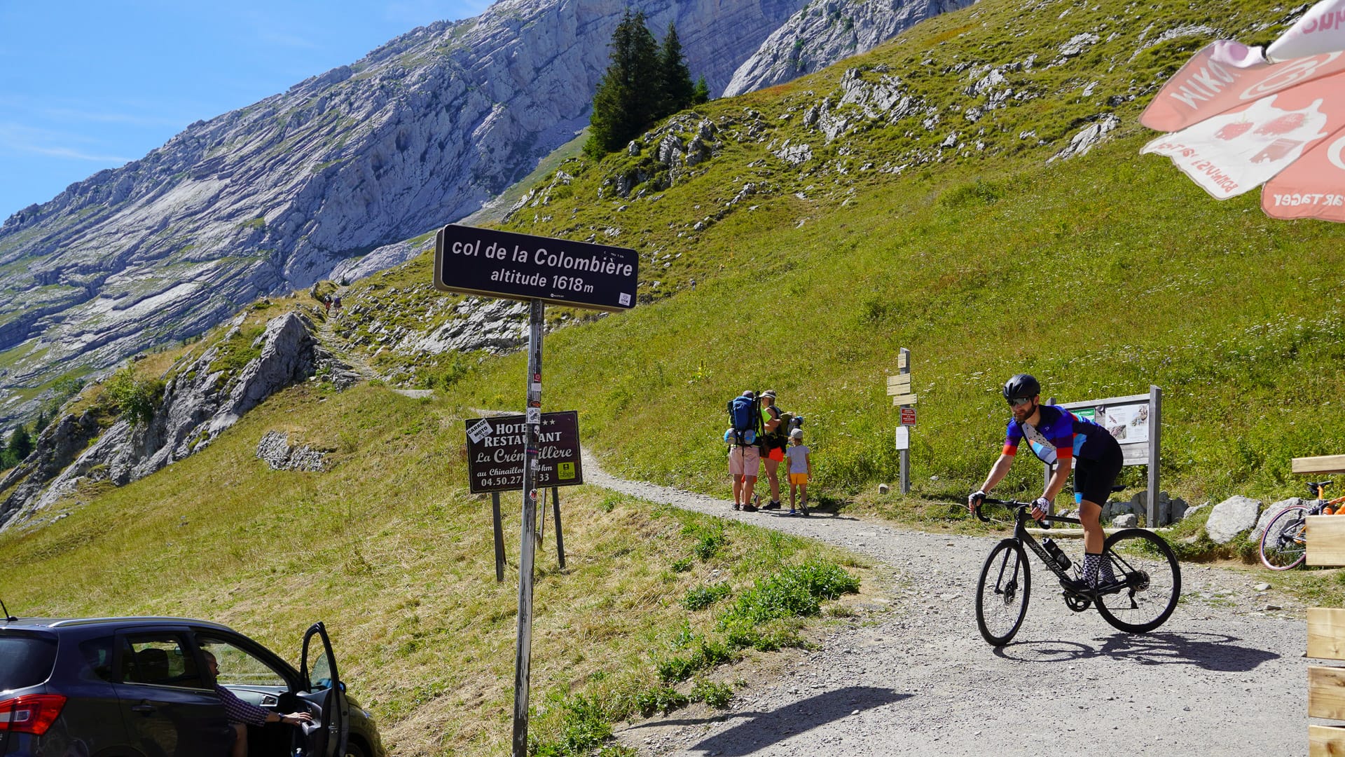
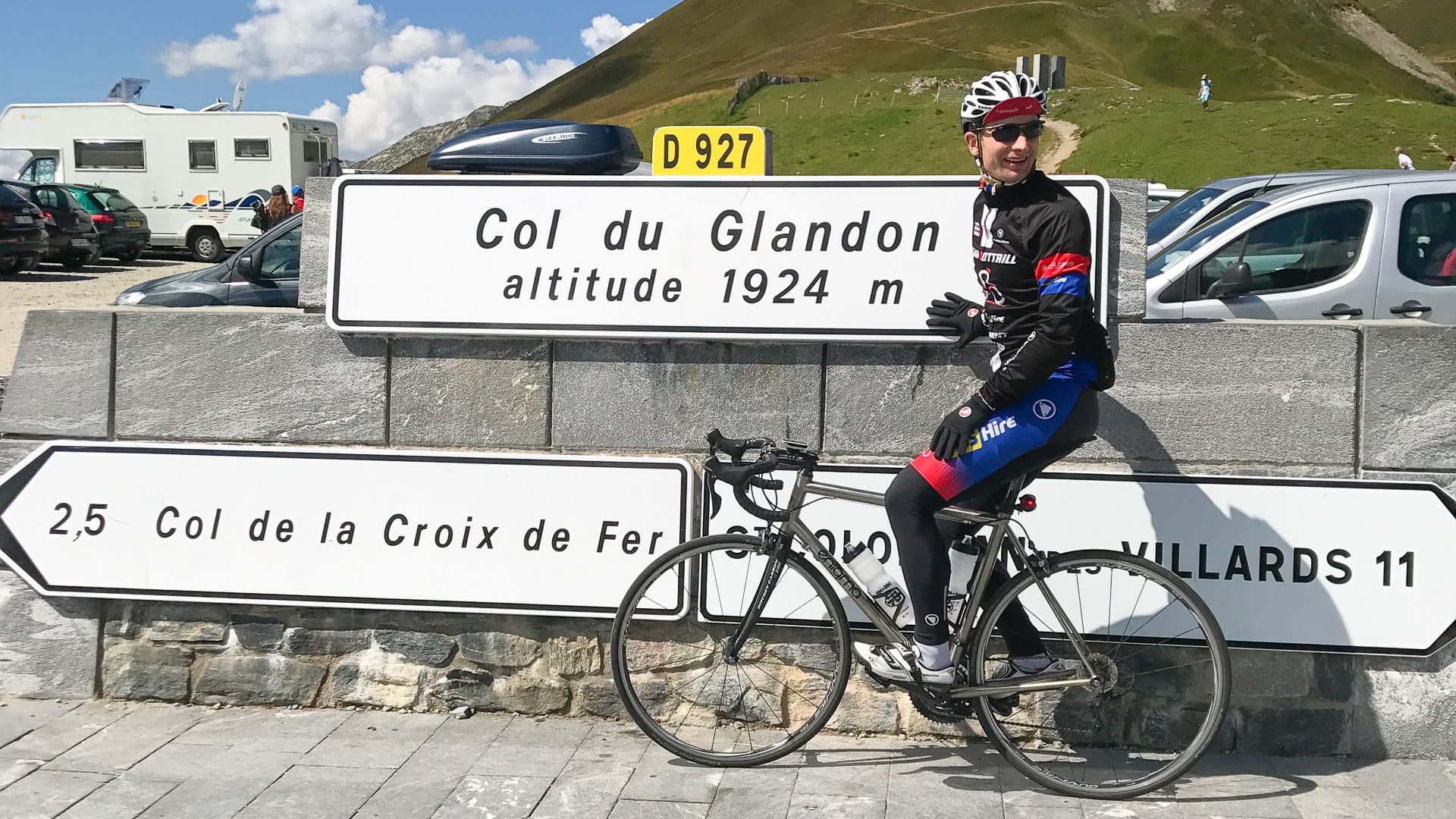
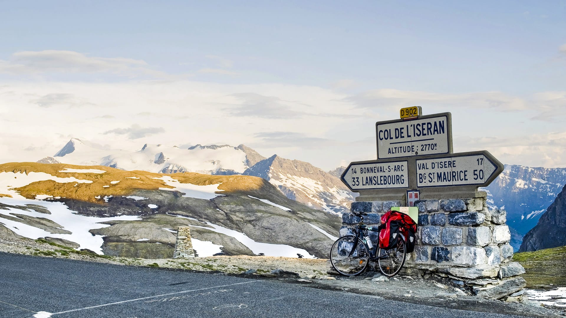
Among them are six cols above 2,000 metres: Col de l’Iseran, Col du Galibier, Col du Lautaret, Col d’Izoard, Col de Vars and Col de la Cayolle. Other well-known climbs on the route include Col de la Colombière, Col des Aravis, Col des Saisies, Cormet de Roselend, Col du Télégraphe and Col du Turini, many of which will be familiar to Tour de France fans.
The traditional route starts in Thonon-les-Bains, beside Lake Geneva, and ends in Nice on the Mediterranean coast.
In total, the ride is around 710 kilometres long, with roughly 17,100 metres of climbing, though this varies depending on the precise itinerary.
What makes cycling Geneva to Nice on the Route des Grandes Alpes one of the best cycle routes in Europe?
The Route des Grandes Alpes is often mentioned in the same breath as the world’s great roads like Route 66 or the Silk Road. For cyclists, it is also one of Europe’s most demanding long-distance mountain routes.
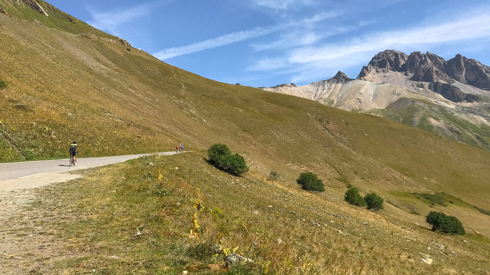
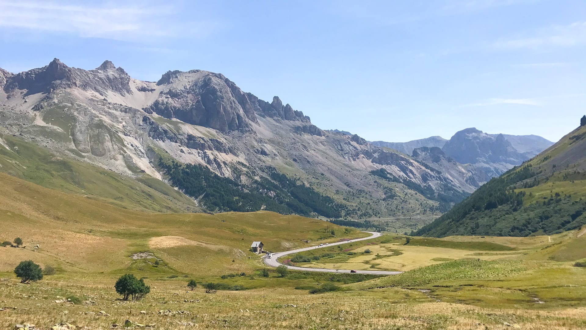
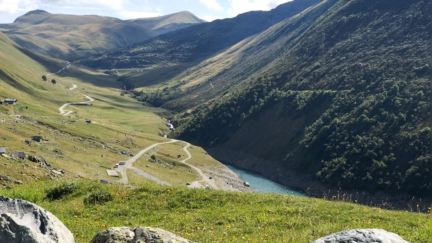
Riding from the shores of Lake Geneva to the Mediterranean is a memorable experience. The route crosses the French Alps from north to south, with the scenery changing constantly as you move through each mountain region.
There are wide Alpine views, high cols, deep valleys, forests, mountain pastures and villages along the way. The landscapes around Mont Blanc feel very different from the Southern Alps, and different again from the hills behind Nice.
For cyclists who love famous climbs, the route offers the chance to ride some of the great names from the Tour de France, as well as some of the highest paved roads in Europe. Staying in Alpine villages also gives you a closer feel for local mountain culture and the region’s long connection with cycling.
Food is another highlight. Alpine produce is excellent, especially local cheeses such as Beaufort, Abondance and Tomme de Savoie, which are well worth trying as you pass through the different regions.
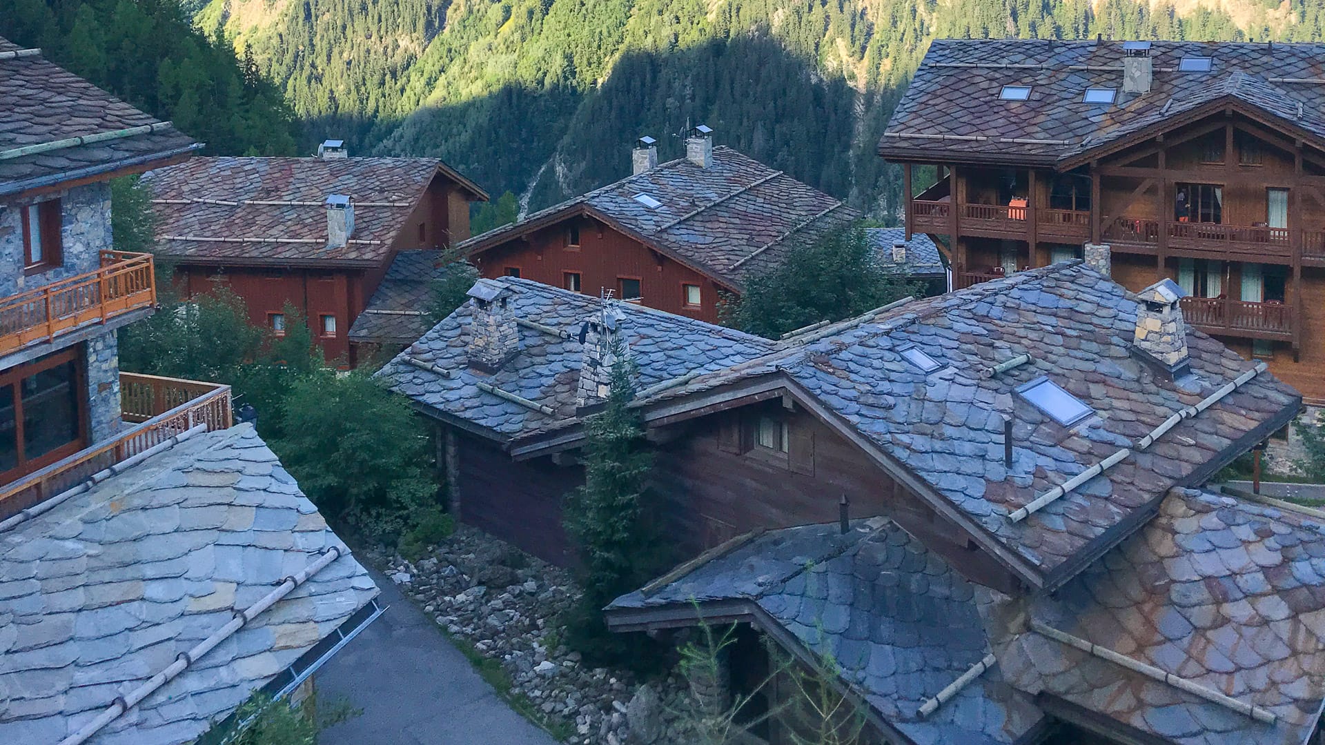
View of traditional alpine chalets
Part 2: Which Route des Grandes Alpes itinerary should you choose?
Give us a feel for what each day is like
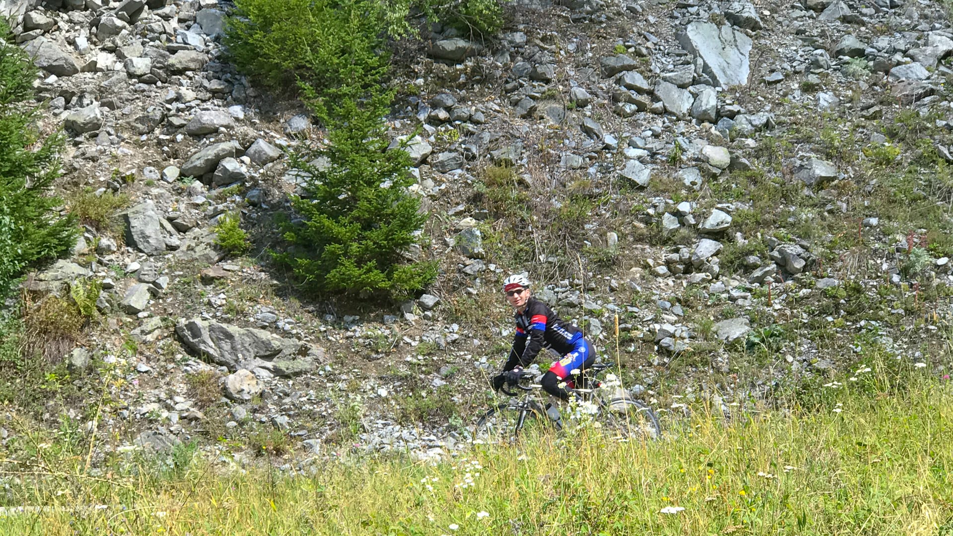
The Route des Grandes Alpes can be ridden in several different ways, depending on how hard you want to make the trip, how much time you have and whether you prefer road cycling or gravel.
The Route des Grandes Alpes website sets out four main itinerary options between Thonon-les-Bains and Nice: two road routes and two gravel routes.
You can follow one of these routes as set out, or use them as a starting point for your own version. On the classic Route des Grandes Alpes à Vélo, for example, it’s possible to compose your own route using the main itinerary and its variants.
1. Route route 1: Route des Grandes Alpes à Vélo
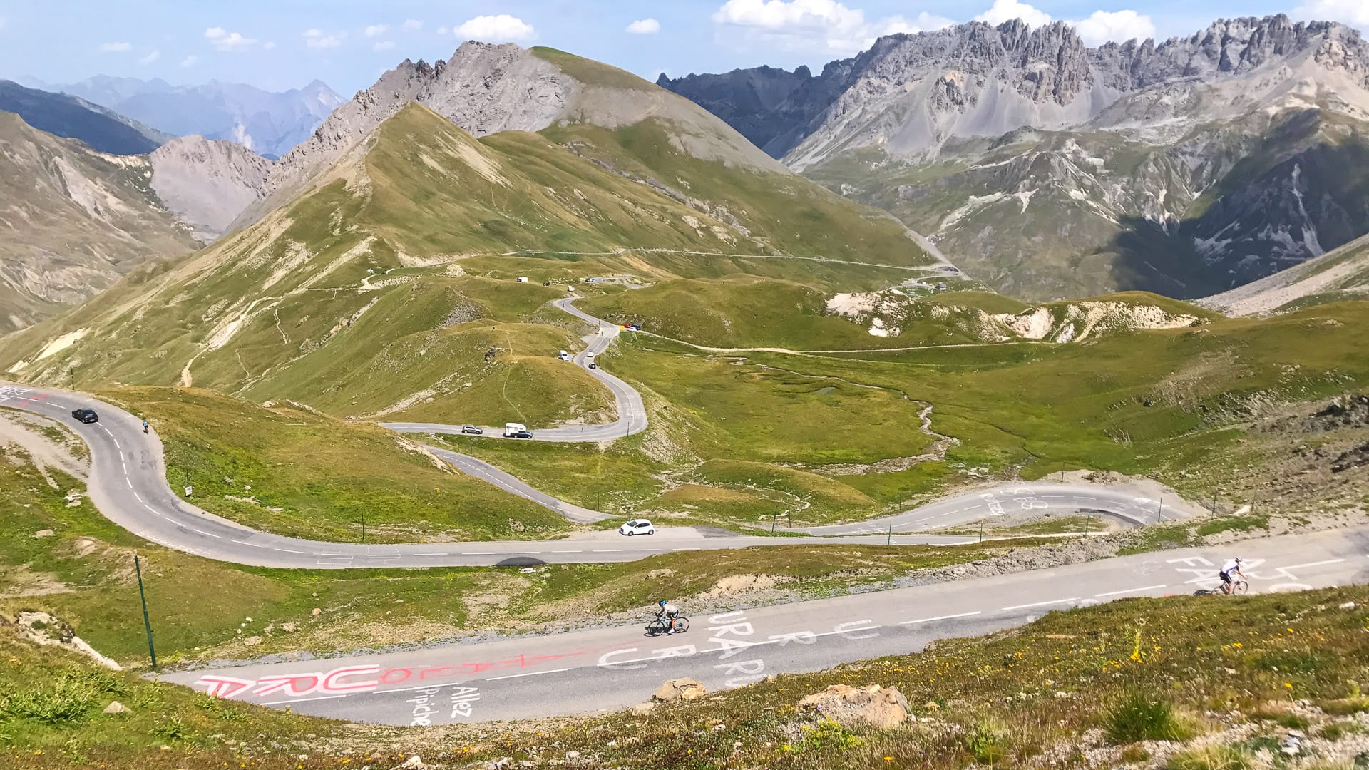
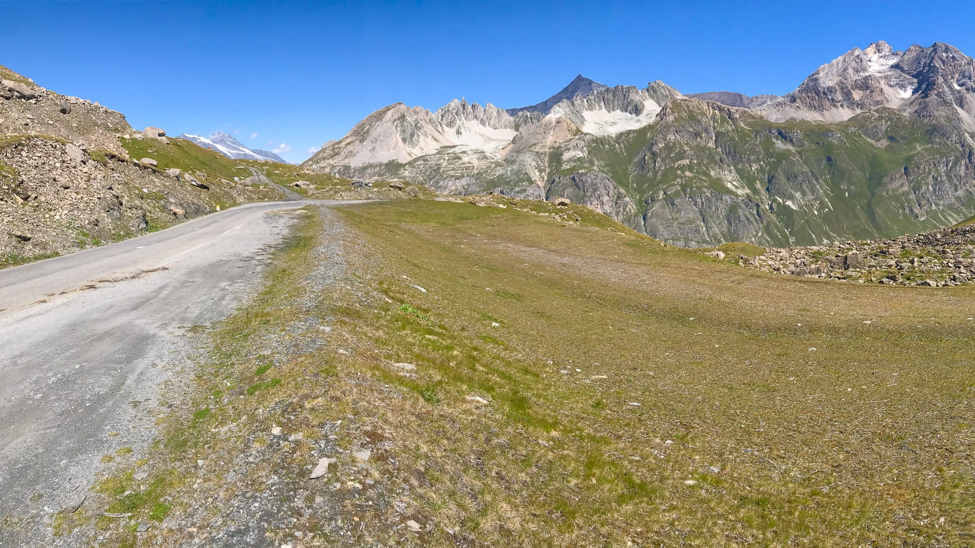
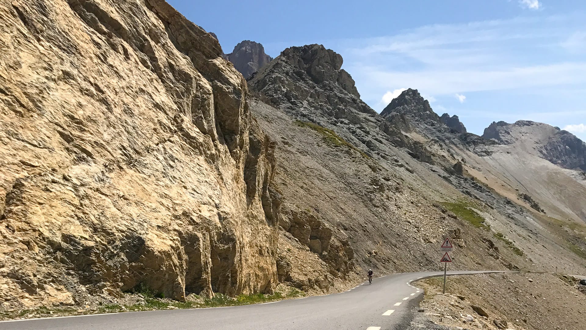
This is the classic road cycling version of the Route des Grandes Alpes, linking Lake Geneva and Thonon-les-Bains with Nice and the Mediterranean. The route is known for crossing some of the highest road passes in the Alps, including Cime de la Bonette, Col de l’Iseran and Col du Galibier.
The route is listed as 758 kilometres and graded difficult. Most cyclists ride it from north to south, from Thonon-les-Bains to Nice, though it can also be ridden in the opposite direction. The most direct version is around 720 kilometres, with approximately 18,000 metres of positive ascent, and is typically tackled over six to eight days.
Route variant
You can also create your own route using the main itinerary and its six variants. One suggested variant goes via Alpe d’Huez and the Col de Sarenne. This avoids a dangerous section of national road between Bourg d’Oisans and Lac du Chambon, while also including the famous 21 bends of Alpe d’Huez and the views over the Oisans from the Col de Sarenne.
Key cols
This route crosses some of the great Alpine passes, including Cime de la Bonette, Col de l’Iseran and Col du Galibier. The highest point listed for the route is 2,764 metres.
Distance and climbing
The listed route distance is 758 kilometres.
The most direct version is around 720 kilometres, with approximately 18,000 metres of positive ascent, usually ridden over six to eight days.

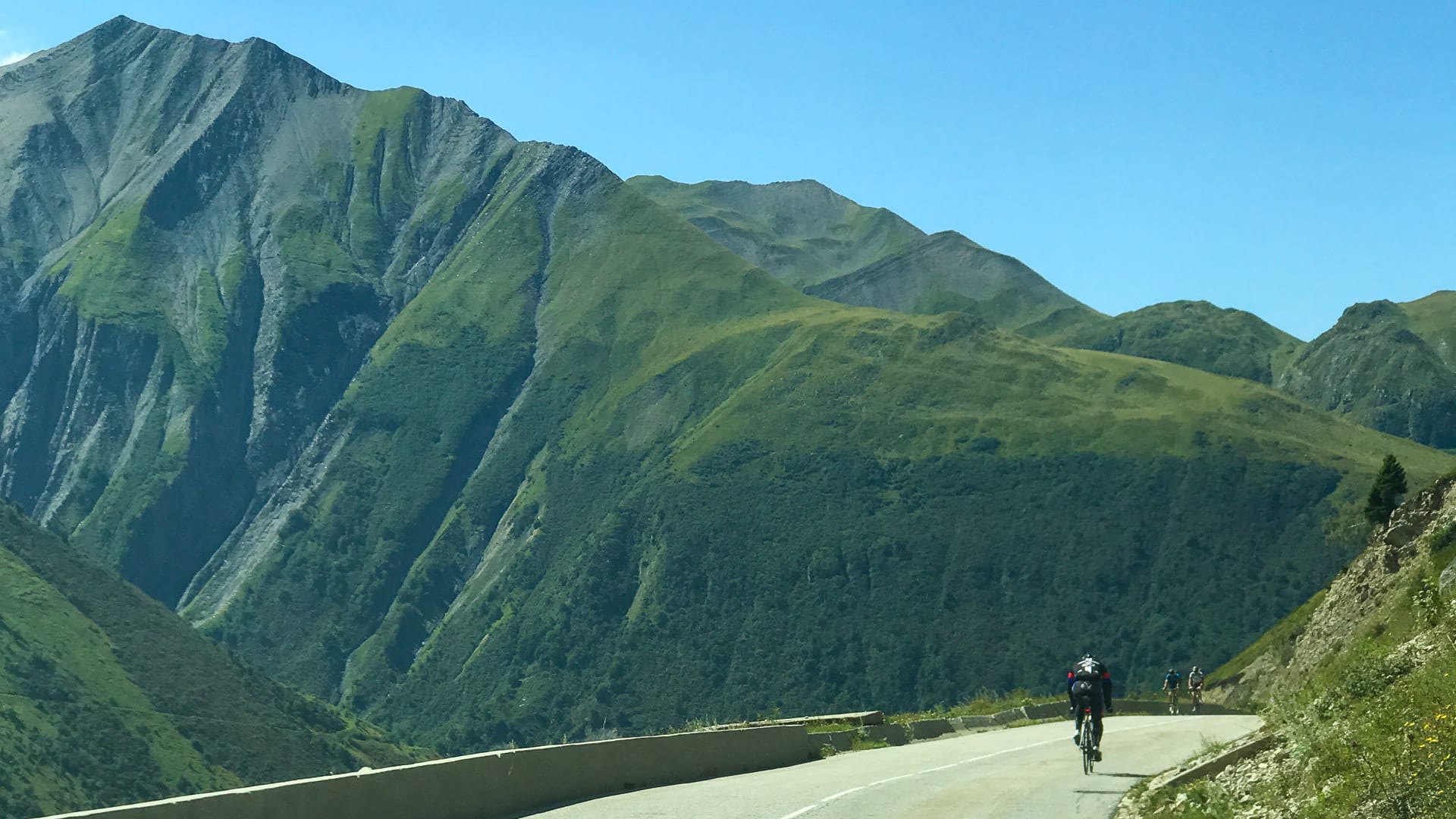
View south from the summit of the Col du Galibier
2. Road route 2: P’tites Routes du Soleil
The P’tites Routes du Soleil is a road cycling route between Thonon-les-Bains and Nice. It follows the western edge of the Alps, crossing many of the pre-Alpine massifs rather than the highest Alpine passes.
Despite sounding like a gentler alternative to the Route des Grandes Alpes, it should not be underestimated. The route is listed as 915 kilometres and graded medium, with just over 900 kilometres of riding and more than 17,000 metres of ascent. There are 25 significant passes along the way, though none of them is higher than 1,400 metres.
This is a route through the Pre-Alps, taking in areas such as the Chablais, Chartreuse, Vercors, Diois, Baronnies, Buëch, the Préalpes de Digne, Castellane and the hills around Nice. Expect a mix of forests, wild plateaux, lavender fields, limestone scenery and hilltop villages.
Route variant
There are no set variants on this route. However, it can be ridden in either direction, from Thonon-les-Bains to Nice or from Nice to Thonon-les-Bains.
You can also adapt the difficulty by grouping stages together or spreading the ride over more days. Some stages are less than 40 kilometres, so stronger riders may choose to combine them.
Because this route avoids the highest Alpine passes, there is less risk of being caught out by snow or extreme high-mountain conditions, though you should still check the weather and plan carefully.
Key cols
This route crosses 25 significant passes, but none is higher than 1,400 metres. Rather than focusing on the highest cols of the Alps, the route is about exploring the pre-Alpine massifs and quieter roads along the western edge of the mountains.
Distance and climbing
915 kilometres and 20,043 metres of ascent across 21 stages.
The route also includes 2 loops, 20,443 metres of descent, a lowest point of 2 metres and a highest point of 1,378 metres.
Enjoying the alpine views
3. Gravel route 1: Route des Grandes Alpes Gravel
The Route des Grandes Alpes Gravel links Thonon-les-Bains in Haute-Savoie with Nice in the Alpes-Maritimes, like the classic road cycling route. The difference is that this version uses varied road surfaces and back roads, taking riders to different passes, villages and landscapes.
This is a serious gravel challenge. The route is listed as 857 kilometres and graded very difficult, with almost 28,000 metres of positive elevation gain. Some sections are technical, and there may be places where you need to push your bike.
Route variant
This route is strongly suggested from north to south, because gravel climbs and descents are not always interchangeable.
Unlike the road version, this is a high-altitude route with no current variant that avoids the high passes. Before setting off, it’s important to check road conditions and access to the passes.
The route is still being refined, so future variants may be added based on rider feedback.
Key cols
This gravel route takes riders into high mountain terrain, using back roads and varied surfaces to reach different passes, villages and landscapes from the classic road route.
The highest point is 2,798 metres, so this is very much a high-Alpine gravel route.
Distance and climbing
857 kilometres and 26,130 metres of ascent across 19 sections.
The sections range from 36 to 59 kilometres, with between 750 and 2,020 metres of positive elevation gain on the north-to-south route.
Ideally, allow 10 days to two weeks to complete the route in good conditions and properly enjoy the landscapes.
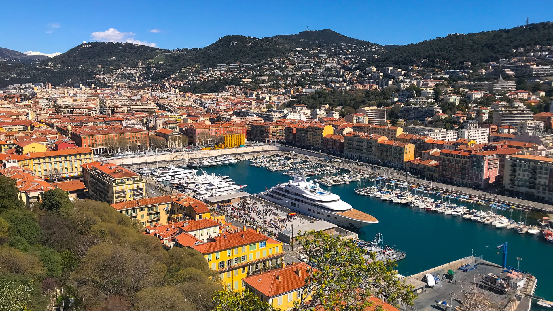
Nice marina, viewed from Colline de Chateau in Nice
4. Gravel route 2: P’tites Routes du Soleil Gravel
The P’tites Routes du Soleil Gravel links Thonon-les-Bains in Haute-Savoie with Nice in the Alpes-Maritimes, crossing the Alps on quiet roads and varied surfaces.
It follows the spirit of the road cycling version of the P’tites Routes du Soleil, but is a little more challenging. The route is listed as 845 kilometres and graded difficult, with just over 17,500 metres of positive elevation gain. It takes riders through areas including the Chablais, Monts de Genève, Avant-Pays Savoyard, Chartreuse, Vercors, Diois, Buëch, Monges, Préalpes de Digne, Verdon, Haut-Var and Haut-Pays Niçois.
Expect quiet roads, wild landscapes, authentic villages and remote passes. As with the other gravel routes, an electric gravel bike can help make the experience more manageable.
Route variant
This route has been designed to be ridden north to south, on the Thonon-les-Bains to Nice axis, because gravel climbs and descents are not always interchangeable.
The difficulty can be reduced by using an electric gravel bike or electric hybrid bike, or by avoiding certain more technical sections, such as the Cheiron passage in the Alpes-Maritimes.
You could also ride a shorter section of the route rather than tackling the whole itinerary. The route is still being refined, so future variants may be added based on rider feedback.
Key cols
This route does not focus on the highest Alpine cols. Instead, it crosses a series of pre-Alpine and southern Alpine landscapes, with some sections reaching over 1,500 metres, including Herbouilly and the Cheiron.
Other notable high points include Mont Salève at 1,335 metres, Col Saint-Barnabé at 1,365 metres and the Gréolières resort at around 1,400 metres.
Distance and climbing
845 kilometres and 18,366 metres of ascent across 15 sections.
The sections range from 43 to 67 kilometres, with an average distance of 56 kilometres. The minimum and maximum positive altitude gains range from 496 to 1,743 metres.
Ideally, allow 10 to 15 days to complete the route in good conditions and take time to enjoy the landscapes along the way.
What are your favourite sections of the Route des Grandes Alpes and why?
With four different routes between Thonon-les-Bains and Nice, the best sections depend on the itinerary you choose. On the classic Route des Grandes Alpes à Vélo, the highlights are the high Alpine passes, including Col de l’Iseran, Col du Galibier and Cime de la Bonette. The P’tites Routes du Soleil offers a different experience, with quieter pre-Alpine landscapes, forests, plateaux, lavender fields and hilltop villages. The gravel routes add remoter roads, varied surfaces and a stronger sense of adventure. Whichever option you take, reaching Nice and the Mediterranean is a memorable finale.
Other highlights
- Starting in Thonon-les-Bains, on the shore of Lake Geneva, with a full Alpine crossing ahead of you.
- Riding south through the Alps towards Nice, with the landscapes changing as you move closer to the Mediterranean.
- Experiencing a long-distance point-to-point journey, rather than a single climb or short loop.
- Passing through mountain villages, valleys and quieter areas that give you a real sense of the Alps beyond the famous roads.
- Enjoying wide views, changing scenery and the feeling of travelling through several distinct Alpine regions.
- Finishing in Nice, where reaching the Mediterranean feels like a natural finale to the ride.
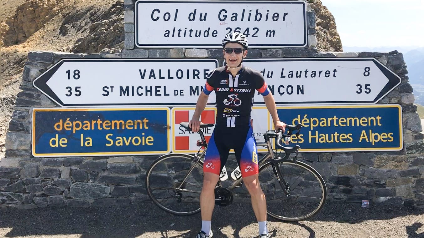
Summit of Col du Galibier
Part 3: What should cyclists know before tackling the Route des Grandes Alpes?
How fit do you have to be to cycle the route?
This is a serious undertaking; it’s worth training consistently for at least six months before you go.
Some cyclists take on routes like this with fewer than 1,000 kilometres of preparation, but most riders will enjoy the trip far more if they have built a stronger base of fitness first.
Training rides
Before setting off, you should already be riding regularly and feel comfortable with long days in the saddle. It’s sensible to have completed rides of more than 100 kilometres in a day and to include plenty of hilly terrain in your training.
If possible, build up to rides with more than 1,500 metres of climbing, as this will help prepare your legs and confidence for repeated mountain days.
Training programmes
Your training does not have to be limited to cycling. Swimming, running, interval sessions, endurance work and mountain biking can all help build general fitness.
It’s also a good idea to plan a test weekend a few weeks before the trip, with at least two longer rides on consecutive days. Back-to-back mountain days feel very different from a single long ride, so it’s useful to prepare your body for that.
Ride at your own pace
Ultimately, the most important thing is to feel confident in your preparation and ride at a pace that suits your fitness and experience. The aim is to complete the route, enjoy the journey and avoid injury or exhaustion!
Cycling in Allemond in Isère
What sort of logistics are involved?
Getting things organised before the trip
There are lots of practical details to sort out before setting off. These include booking accommodation for each night, arranging luggage transfers, deciding whether you need bike hire and planning the route in detail.
You will also need reliable GPX files and to consider a back-up plan in case something goes wrong, such as a mechanical issue, bad weather, road closure or a day when the route needs to be adapted.
If you book via a tour operator, they typically arrange accommodation and luggage transfers, share GPX tracks and route notes, and may offer on-call support if something goes wrong. Some trips also include a support vehicle, which can be helpful for extra layers, spares, or quick problem-solving during the day.
On the day of departure
Before you set off, give your bike a final check, including tyres, brakes, gears, chain and any essential accessories.
It’s also important to check the latest weather forecast and road conditions. In the mountains, conditions can change quickly, so be prepared to adjust your route, start time or planned stops if needed.
Daily routine
Each day involves more than just riding. You’ll need to make sure your luggage is ready for transfer, check the weather and review whether the planned route still makes sense for the day.
Depending on conditions, fitness levels or road closures, you may need to adjust the route or choose a different variant. It’s also worth planning lunch stops, water refills and rest breaks in advance, particularly on longer or more remote stages.
You should also be prepared to deal with minor mechanical issues during the day and use hotel facilities for laundry when needed, especially on a multi-day ride.
Is there any particular kit you recommend people take for this trip?
Clothing
The Route des Grandes Alpes crosses high mountain terrain, so you need to be ready for significant changes in temperature. Even in summer, it can be cold on the highest cols, with temperatures below 5°C and snow still possible at altitude. In the valleys, temperatures can reach 30 to 35°C.
Alongside your usual cycling jerseys and shorts, pack a rain jacket, windproof layer, arm warmers, leg warmers, warm gloves, overshoes, a neck warmer, helmet, cycling cap and sun cream.
Gearing
Check your bike’s gear ratios before you leave and get advice from a bike shop if you’re unsure. For the road routes, a 50-34 compact chainset with an 11-32 cassette is a sensible setup for many riders, helping make the longer climbs and steeper sections more manageable.
For the gravel routes, gearing will depend on your bike, tyre choice, luggage setup and the surfaces you plan to ride, so make sure your setup is appropriate for sustained climbing on mixed terrain.
Make sure your bike is in good repair
Your bike should be in excellent condition before setting off, especially for a ride of 700 kilometres or more. Check tyres, brakes, brake pads, chain, cassette, cables and any parts that are likely to wear over repeated mountain days.
If you book a guided or supported tour, bike hire may be available, and some operators can arrange delivery to the start and collection at the finish. A support vehicle can also make packing easier, as you can bring extra layers for cold descents and changing mountain weather.
Cycling the Route des Grandes Alpes
Part 4: What tips would you give to someone wanting to tackle the Route des Grandes Alpes?
When is the best time to go?
For the classic Route des Grandes Alpes, the best times are usually the second half of June and early September. By late June, the highest cols are more likely to be open, while early September often brings quieter roads and cooler temperatures than peak summer.
The exact timing will depend on the route you choose. The high road and gravel routes are more affected by snow and pass openings, while lower routes such as the P’tites Routes du Soleil may offer a longer season. Always check conditions before setting off.
What temperatures should you expect?
Be prepared for big temperature changes. Some valley sections can be very hot in summer, while the tops of high cols can feel cold, especially before long descents.
Mid-summer heat can also bring storms in the Northern Alps, while the Southern Alps are often drier and the Maritime Alps can feel more Mediterranean. Carry layers you can add quickly at the top of climbs, including windproof, waterproof and warm clothing.
How should you plan your route?
The classic Route des Grandes Alpes was originally designed as a road route, not specifically for cyclists. Some main-road and valley sections can therefore be busier than ideal.
A well-planned route, or advice from people who know the area, can help you avoid traffic where possible. If you are riding independently, pay particular attention to busier valley roads, tunnels and sections where there may be limited space for cyclists.
What should you plan before each stage?
If you’re riding without a guide, study the route carefully in advance. Check for potential danger points, road closures, tunnels, weather conditions and possible route alternatives.
It’s also worth reviewing the next day’s route each evening, especially in the mountains where weather and road conditions can change quickly.
How can you make the ride more enjoyable?
Ride at your own pace and avoid getting drawn into someone else’s effort. This is a long, multi-day challenge, so pacing matters.
Eat and drink regularly, use your time off the bike to recover, and make sure you are ready for the next day rather than just surviving the current one.
Final push to the summit of Col du Galibier
How does the Route des Grandes Alpes cycling route compare with some of the other great long-distance cycling routes in Europe?
France offers some of the best mountain cycling in Europe, with several long-distance routes that feel like proper point-to-point adventures.
The appeal of these rides is not just the individual climbs, but the sense of crossing a whole landscape. You take on one pass after another, pass through different valleys and regions, and keep moving towards a final destination, often the coast.
The Route des Grandes Alpes is one of the great examples of this kind of ride. Other routes with a similar sense of scale and adventure include a crossing of the Pyrenees and some of France’s excellent EuroVelo routes, which offer long-distance journeys through varied regions, landscapes and cycling cultures.

Passing grazing cows on the Col d’Aspin
What’s next?
If you’ve found our tips for cycling the Route des Grandes Alpes helpful, we’d love it if you left a comment below!
- Have you been cycling the Route des Grandes Alpes?
- How did you find it? Did you do any of our routes?
Looking for more exciting content in the Alps and Europe? Don’t miss these articles:
- Best European cycling routes: see why the Route des Grandes Alpes features in our round-up of Europe’s top cycling routes.
- World’s best cycling routes: discover how the Route des Grandes Alpes compares with other iconic rides around the world.
- Cycling in Geneva: useful further reading if you’re starting your trip near Lake Geneva.
- Cycling around Lake Geneva: more inspiration for rides close to the start of the Route des Grandes Alpes.
- Cycling in Morzine: our in-depth guide to one of the best-known cycling destinations in the French Alps.
Please support Epic Road Rides
A huge amount of time and effort goes into the article you’ve just read, all with the aim of helping you!
If you found what you’ve read useful, I’d really appreciate it if you dropped something in the tip jar here.
It’s a way you can say thank you and help us carry on creating top quality content with no annoying ads and no pay wall.
Looking for an organised cycling trip?
If you want someone to help you plan and book your cycling holiday, fill out this form. We aren’t a tour operator/agent but we work with lots of people who are and will do our best to put you in touch with someone that can help (within 24 hours where possible)!Kate is a passionate cyclist who has explored the world by bike, including Europe, central America and South East Asia. Kate is a key member of the Epic Road Rides team; when she's not busy commissioning articles for Epic Road Rides, you'll find her busy writing and editing articles herself.
Last Reviewed: 08 May 2026
First Published: 30 October 2024
The contents of this website are provided for general information purposes only. It is not intended to amount to advice and you should not rely on it. You should carry out your own due diligence and risk assessments and take professional advice. Views expressed by interviewees or other users of this website do not necessarily represent our views. We make no representations, warranties or guarantees, whether express or implied, that the content on our website is accurate, complete or up to date. If you use any information or content on this website, download from, or otherwise obtain content or services through our website, it is entirely at your own discretion and risk. Epic Road Rides Ltd disclaims all liability and responsibility arising from any reliance placed on the information and content on this website. Find out more here.
Comments