

This September, Yorkshire plays host to the UCI World Road Race Championships. It’s the first time the UK has hosted since 1982 and it’s going to be awesome.
To mark the occasion, there’s a one-off Yorkshire World Championship sportive on Sunday 22 September.
There will be three sportive routes. The rough stats are:
- long route of 150km with 1,950m of climbing
- medium route of 100km with 1,300m of climbing
- short route of 75km with 950m of climbing
Map of the three routes, GPX are from the official website as at the date of writing and may be subject to change
Each route takes in large sections of the pro events that will be taking place over the two weeks of the UCI World Road Race Championships. In particular, each course features the Harrogate loop the pros will be doing, and this part of each sportive route will be closed road.
On our recent visit to Yorkshire, we decided to check out some of the key climbs so we could share our experience of what they’re like with you.
So, without further ado, onto the hills…

Clare Dewey is a cyclist with a passion for travel. She set up epicroadrides.com in 2018 to help make it easy for cyclists to explore the world by bike. Today her mission is still inspiring cyclists to discover new places on two wheels - and doing what she can to make sure they have the best possible time while they're there. Clare has visited 50+ destinations around the world, many of them by bike.
Want to connect with Clare? Find her over on LinkedIn.

We have one overriding rule at Epic Road Rides: would we suggest this to our friends? This means we don’t work with every brand that wants to work with us. We may not have personally used or been on a trip with every brand we collaborate with, but after many years in the industry, our team knows a lot of people, and we only say yes to the brands we would be happy to use ourselves or that we’d share with a friend.
Note: all figures for climb length and average gradients are taken from the UCI’s official statistics. We do our best to ensure our guide is accurate but cannot guarantee this. Please check and rely on the event’s official website, the final official 2019 riders pack/event information and the rules/regulations. We are not the organisers of the event (nor are we connected with them).
The big hills of Yorkshire World Championship sportive
The first thing to say is that you just have to look at the sportive profile for each route to see that each course is almost continually lumpy. Yorkshire doesn’t really do flat. So, while we’ve focused on the big hills that are marked on the sportive’s official profile, bear in mind that it’s going to be up and down the entire way. Bring your climbing legs!
Long Course: Greenhow Hill and Kidstones Pass
Map of the long route, based on official GPX as at date of writing. We’ve added markers to show Greenhow Hill and Kidstones Pass.
Greenhow Hill
Length: 4.1km
Average gradient: 10%
You head over the bridge in pretty Pateley Bridge (see our banner photo), pass the park on your right and are soon hit with a few hundred metres of wall-like steepness. It’s a bit of a harsh start! Luckily the gradient flattens off for a bit, as you climb through a tree-covered archway, with a few stone houses to your right. Catch your breath here as the road soon rears up again as you pass a foreboding 16% gradient sign. Fortunately – it’s not this steep for the entire length of this 4km climb…
 A steep start to Greenhow Hill
 One of the steeper sections of Greenhow Hill
Eventually you pop out of the trees to be met with the sight of rolling hills – and the road disappearing upwards into the distance. You pass Toft Gate Barn Cafe on your left and are at any easier 5 or 6% gradient. The top comes just after the cafe, and when we rode it, there was a white line on the road to mark the top. However, don’t expect a break! You’re on exposed farmland by now and with little protection, the wind may be battering you. There are a few lumpy hills and then you’re down into Greenhow village.
This climb is on a relatively well-trafficked B-road with a lane in each direction (but see the note below regarding closed roads). There are scattered houses and farms throughout the climb. The wild moor at the top is impressive, but we wouldn’t say it’s one of the gems of the Dales.
 Passing Toft Gate Barn Cafe
 Top of Greenhow Hill
Note: the organisers have announced that they plan to close Greenhow Hill during the sportive and challenging riders to get up it as fast as they can. There’s bound to be a great atmosphere here!
Kidstones Pass
Length: 2.9km
Average gradient: 6.4%
The climb starts in the quiet, chocolate box village of Buckden, by the side of the whitewashed village stores. You pass the church on your right and it’s a relatively easy low 4-6% average until things begin to hot up as you turn inland and approach the village of Cray.
 Start of the Kidstones Pass climb
 The village of Cray
The road snakes right and then left, and this section is probably the most beautiful yet also the toughest of the climb – gradients really biting at scary double-digit averages. When we were there, sheets of water cascaded over rocky drops in the hills – but for the sportive, unless you’re unlucky with the weather, these probably won’t be visible.
Continue on up and you eventually hit the plateau at the top and can give the legs a breather and try and enjoy the green, rural idyll around you.
While Greenhow Hill may be harder overall, Kidstones definitely takes the prize for scenery. If you’ve got enough energy, you’ll definitely appreciate the green pastures, dry stone walls and cascading waterfalls of this memorably attractive climb.
 The road snaking right on the way up Kidstones
 Approaching the plateau at the top (not the best photo, apologies, but the rain was not much fun!)
Medium Course: Trapping Hill
Map of the medium route, based on official GPX as at date of writing. We’ve added a marker to show Trapping Hill.
Trapping Hill
Length: 3.2km
Average gradient: 8%
Like Kidstones Pass, Trapping Hill wins points for being spectacularly beautiful. It’s set up well by the approach along the winding country road that takes you through Nidderdale, alongside the Gouthwaite Reservoir. The 10km through Nidderdale from Pateley Bridge are also pretty flat, which gives you time to prepare for the big climb on the route.
You’ll need this time: this is one tough climb, that barely drops below 10% to the top.
 Turn off for Lofthouse and Trapping Hill
 Climbing through Lofthouse
You start climbing as you come into the stone-clad hamlet of Lofthouse and the road twists through the narrow streets. You ride through the national speed limit lollipop signposts and are approaching double digit gradients – the first turn to the right takes you through that barrier and it’s painfully steep for another 1.5km until gradients relax a bit for the final 1.5km to the top.
This climb feels special because it’s on a tiny, narrow road and has a remote, untouched feel. It starts off green and homely, but by the time you’re at the top, you’re surrounded by brown wide open tracts of moorland. Right at the top is a cattle grid and you get wide sweeping views away to the northeast.
 Grinding up the steep 1.5km in the rain!
 More relaxed gradients towards the top – and a cattle grid before the descent
Short course: Pateley Moor
Map of the short route, based on official GPX as at date of writing. We’ve added a marker to show Pateley Moor.
Pateley Moor
Length: 2.89km
Average gradient: 4.8%
Sadly, we ran out of time to check out this climb. However, our interrogation of Google Street View (sorry we couldn’t do better this time!), shows a climb that takes you up a treelined road, away from Glasshouses, with some lovely rolling views to your right. The road looks like it flattens out for 500m before turning left onto a narrower road with green fields, grey stone walls and the odd house either side.
Take a look yourself on google maps (this link takes you to the right road).
If anyone has any more information on this, please share the details in the comments below!
And also…
If you take a look at the official route profile maps for each of the routes, you’ll spot there are a number of other climbs in slightly smaller font. These are the less severe hills on each route – but you’ll certainly notice them when you’re out on the bike! [Note: the 2019 official route profile maps are no longer available online]
Cornwall Road (all routes)
You ride two sections of Cornwall Road in the opening kilometres of the event. We think (but aren’t absolutely sure) that the official stats have marked the first section of Cornwall Road that you ride, which starts around kilometre 8 and the official profile marks it as a 0.52km climb at 7.6%.
It’s a wide, leafy street with residential houses lining the lefthand side and fields to your right.
Whipley Bank (all routes)
All courses will also ride the 2.1km climb at an average 4.8%, which starts a couple of kilometres outside Ripley, around 20 kilometres into the ride. It’s characterised by a 1.5km climb up, before it plateaus out for 0.6km and then rising again for a last half kilometre. It’s on a rather unremarkable stretch of road between Ripley and Bedlam and should at least serve to keep interest levels up until you hit the Dales proper.
 The pretty village of Ripley, embracing cycling
 Climbing Whipley Bank
Hackfall Hill (long and medium routes)
The long and medium courses take in Hackfall Hill, a 1.7km climb at an official average of 2% (though our ridewithgps figures based on the official GPX look more like 2.5km at 3.9% average). The long course hits it at around 113km, the medium course at around 63km.
The hill starts after the idyllic village of Masham and passes through gentle green fields and hedgerows. It’s not a consistent gradient to the top, and the official stats make it sound easier than it is. We found the hill steeper to start, before easing off towards the top.
 At the start of Hackfall Hill
 Close to the top of the hill
A few points to bear in mind
We understand that, other than for the Harrogate loop, that features on the pro event, and Greenhow Hill, the sportive is going to take place on open roads. Riders will need to take great care throughout (indeed the event guide says to assume the road is open to traffic, even if signs suggest it is closed). We hope efficient traffic management systems will be in place – particularly on the initial and final kilometres until you get to the Harrogate loop.
We’d also flag that the courses feature technical descents with sharps bends and, in many places, road surfaces are not perfect. Don’t lose concentration!
To conclude
Without doubt, the atmosphere in Yorkshire is going to be fantastic for the two weeks of the UCI World Road Race Championships. History has shown that the people of Yorkshire love their cycling and really get behind events that grace their roads.
Doing the Yorkshire UCI World Championship sportive will give you the opportunity to be part of that, to take in the atmosphere and ride the same roads as the pros on the same day the pro event starts.
It’s going to be exciting, for sure.
Taking part?
If you’re taking part in the event, take care and best of luck!
Let us know your thoughts on the event in the comments below! We’d also love to hear from you if you’ve already ridden the hills and have more insider information to share.
If you’re in the area, you may also like to check out our ultimate guide to cycling the Yorkshire Dales, which includes links to all our route guides to the area (you can see some of these below).
Enjoy!
Got a question for Clare?
Fill out this form and we will send it to Clare. We aim to get you an answer within 24 hours where possible!Clare Dewey is a cyclist with a passion for travel. She set up epicroadrides.com in 2018 to help make it easy for cyclists to explore the world by bike. Today her mission is still inspiring cyclists to discover new places on two wheels - and doing what she can to make sure they have the best possible time while they're there. Clare has visited 50+ destinations around the world, many of them by bike.
Want to connect with Clare? Find her over on LinkedIn.
First Published: 10 September 2019
This article includes details of Stolen Goat kit. As you know, we're big fans. We may also include details of other products and/or services that we have used ourselves or which we would consider. If you click on a link and buy something or make a booking, we may earn a commission. Please read our disclosure policy for further information.
The contents of this website are provided for general information purposes only. It is not intended to amount to advice and you should not rely on it. You should carry out your own due diligence and risk assessments and take professional advice. Views expressed by interviewees or other users of this website do not necessarily represent our views. We make no representations, warranties or guarantees, whether express or implied, that the content on our website is accurate, complete or up to date. If you use any information or content on this website, download from, or otherwise obtain content or services through our website, it is entirely at your own discretion and risk. Epic Road Rides Ltd disclaims all liability and responsibility arising from any reliance placed on the information and content on this website. Find out more here.
Sponsor Message
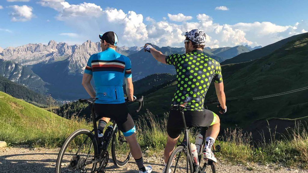
Like the kit we're wearing?
We’re proud to be brand ambassadors for Stolen Goat. Their kit is fantastic quality and we love their bold, bright designs. Their customer service is second to none.
Find out how we got to know Stolen Goat and read our candid kit reviews here, or head straight to their site and check them out yourself.
Got a question for Stolen Goat?
Fill out this form and we will pass it to Stolen Goat who aim to reply (within 24 hours wherever they can!)
Comments