
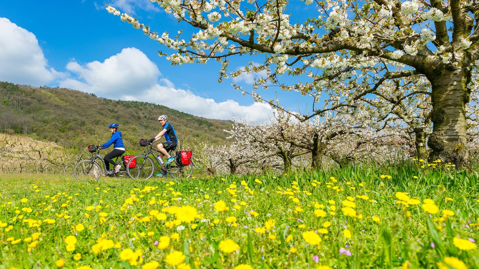
ViaRhôna is an 815-kilometre cycle route in France, following the River Rhône from Lake Geneva to the Mediterranean Sea.
Part of EuroVelo 17, it links Alpine panoramas, vineyards, historic Rhône towns, Provence, the Camargue and the coast. It is a gentler way into France’s cycling culture, with the Rhône River as a constant thread and plenty of scope to shape the ride around food, wine, history or easier days in the saddle.
That flexibility is part of the appeal, but it also raises practical questions. Which section should you ride? Is ViaRhôna suitable for beginners or families? What bike do you need? How easy is it to use trains, find accommodation, navigate the route and check current stage information?
To help answer these questions, we asked Raphael Trichard from the ViaRhôna team to share his practical insight into how the route works for cyclists. The official ViaRhôna website is also the place to check current maps, GPX files, stage details, services and route status.
For information on the route itself, including highlights, suggested sections and itinerary ideas, read our full guide to cycling ViaRhôna. This article answers the practical ViaRhôna FAQs cyclists are likely to ask before they ride, including how hard the route is, where it starts and finishes, what to pack, when to go and what to check before setting off.

For the past three years, Raphael Trichard has been leading the technical coordination of the ViaRhôna Route Committee, backed by the political vision of the Auvergne-Rhône-Alpes Region. His mission is to bring together a close-knit team of four, Sophie, Camille, Vincent and Caroline, as well as a network of dedicated partners, to deliver on every front: infrastructure, services, promotion and governance. The aim is simple: to create a cycling experience that is smooth, uninterrupted and open to everyone, whether they are out for a leisurely ride or on a long-distance adventure.
Day to day, he focuses on making things happen on the ground. Whether completing a new section of the route or rolling out an innovative service, every milestone enhances the quality of the journey and meets the different needs of cyclists. His real challenge is bringing local authorities, tourism professionals and socio-economic stakeholders together to ensure the route is intuitive, cohesive and open to all.
Cycling has always been part of who he is. From childhood, it has been his symbol of freedom and, over time, it has become his go-to for everything, whether commuting, tackling mountain passes or travelling. ViaRhôna builds on that passion, offering a unique way to explore the Rhône’s regions, landscapes and heritage at your own pace. It is an invitation to discover authentic stories, the river and the people met along the way.
Always check current travel information and advice. For visitors from the UK, the UK government travel information pages are here.
To get a feel for what cycling ViaRhôna is like, take a look at this short video:
 There's a Youtube video here!
I'm fine with Youtube cookies
Table of contents
This article contains a lot of useful information. To help make it more digestible, we’ve broken it down into several parts:
- Part 1: Why cycle ViaRhôna?
- Part 2: Where is ViaRhôna?
- Part 3: Riding difficulty
- Part 4: Navigation
- Part 5: Best bikes for cycling ViaRhôna
- Part 6: Accommodation
- Part 7: Weather
- Part 8: What to pack
- Part 9: Practicalities
- Part 10: More information
Part 1: What it’s like to cycle ViaRhôna?
1. What is the ViaRhôna, like at a glance?
| Question | Short answer |
| What is ViaRhôna? | A long-distance cycle route following the Rhône from Lake Geneva to the Mediterranean. |
| How long is it? | 815 kilometres. |
| Where does it start? | Saint-Gingolph |
| Where does it finish? | Port-Saint-Louis-du-Rhône or Sète. |
| Is it part of EuroVelo? | Yes, it is part of EuroVelo 17. |
| Is it suitable for beginners? | Yes, on appropriate sections – read this article to find out more. |
2. What is the overview of ViaRhôna?
ViaRhôna is a flexible long-distance cycle route that follows the Rhône River from Lake Geneva to the Mediterranean.
The official route starts in Saint-Gingolph, on the Franco-Swiss border. The 815 kilometre full route finishes at Port-Saint-Louis-du-Rhône, at the Rhône Delta or Sète along the famous beaches. Some cyclists choose to start in Geneva because it has stronger international transport links, while others continue to Sète for a longer Mediterranean finish of about 780 kilometres.
Its character changes as it heads south, from Alpine-influenced landscapes and lakeside riding to vineyards, historic Rhône towns, Provence, the Camargue and the coast.
Before planning your ride, check the latest ViaRhôna maps and stage notes on the official website to help understand the current route status, surfaces and services.
ViaRhôna can be ridden as a full end-to-end journey, a shorter section, or a themed trip focused on wine, culture, nature or family cycling. Picking the right section matters, especially if you are riding with children, using a road bike, avoiding busier roads or planning around summer heat and wind.
For more help deciding which section of ViaRhôna to ride, read our full guide to cycling ViaRhôna
 This komoot route contains cookies...
I’m fine with komoot cookies
3. Which regions and cities does ViaRhôna visit?
ViaRhôna crosses three French regions and 12 departments:
- Auvergne-Rhône-Alpes (556 km): Haute-Savoie, Savoie, Ain, Rhône, Isère, Loire, Drôme, Ardèche.
- Occitanie (145 km): Gard, Hérault.
- Provence-Alpes-Côte d’Azur (114 km): Vaucluse, Bouches-du-Rhône.
Key cities ViaRhôna passes through or close to: Geneva, Thonon-les-Bains, Yvoire, Lyon, Vienne, Valence, Avignon, Arles, Aigues-Mortes, and Sète or Port-Saint-Louis-du-Rhône.
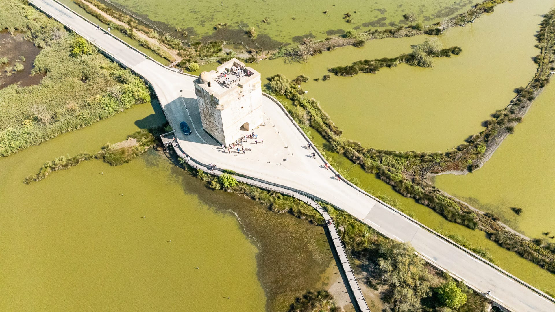
ViaRhôna near the Carbonnière Tower (30) (photo credit: Auvergne-Rhône-Alpes Tourisme/Peignée Verticale)
Part 2: How to get to the ViaRhôna cycling route?
4. Where does the ViaRhôna cycling route start and finish?
ViaRhôna officially starts at Saint-Gingolph, on the Franco-Swiss border and it finishes at Port-Saint-Louis-du-Rhône or Sète on the Mediterranean coast in France.
Alternative start and finish points can change the overall distance. For example
- The alternative Mediterranean finish at Sète, adds roughly 60 kilometres, bringing the route from Saint-Gingolph to Sète to about 775 kilometres.
- Some cyclists choose Geneva as an alternative start point because it has stronger international transport links and city services, which can make arrival, bike hire and onward travel simpler. You can see the effect on distances below:
| Finish Point | Distance from Saint-Gingolph | Distance from Geneva | Vibe |
| Port-Saint-Louis-du-Rhône | 815 kilometres | 770 kilometres | Official finish: Camargue nature, the Rhône Delta and Plage Napoléon |
| Sète | 880 kilometres | 835 kilometres | A lively port, seafood and Étang de Thau |
5. What are the main access points?
| Access point | Useful for | Notes |
| Geneva | International access and a practical start point. | Useful if riders want strong transport connections. |
| Chanaz near Aix-les-Bains | Connection with and another route la Belle Via. | Check the current route status before riding from here. |
| Lyon | Joining the route for a shorter cycling trip. | Some cyclists may prefer to avoid Lyon due to the route including busier roads leaving the city. |
| Valence | A useful Rhône Valley access point. | Good for riders focusing on the central route. |
| Avignon | Provence and southern route access. | Useful for shorter southern itineraries. |
| Arles | Camargue access. | Good for riders heading towards either Mediterranean finish. |
| Sète | A Mediterranean finish. | Lively port and Étang de Thau area. |
| Port-Saint-Louis-du-Rhône | A quieter Rhône Delta finish. | Useful for Camargue and Plage Napoléon. |
6. Can you reach ViaRhôna by train or public transport?
ViaRhôna is well suited to train-assisted cycling, with more than 36 stations along or near the route. This makes it easier to ride a shorter section, return to your start point, or avoid a section that does not suit your cycling trip.
Regional TER trains are usually the easiest option for travelling with a bike, TER trains allow free bike transport (no reservation needed). TGVs require a reservation (€5–10/bike) and have different rules depending on the service. Check the latest train-bike rules before booking, especially if you are travelling with a non-folding bike.
Key stations include Geneva, Lyon, Vienne, Valence, Avignon, Nîmes, Montpellier and Sète.
As ViaRhôna crosses several French regions, check this ViaRhôna page for current bike rules, reservations and seasonal restrictions before you travel.
7. How do you get back to your starting point at the end of your ride?
With more than 36 stations along or near ViaRhôna, the train is often the most practical way to return to your start point. TER trains are usually the easiest option for bikes, while TGV services may require a reservation and may have different bike carriage rules. For the latest information, please consult the dedicated page on train travel on the ViaRhôna website.
- Some bike rental companies such as Avelo ViaRhôna offer one-way hire or return options.
- Luggage transfer or bicycle transport providers including Espace Evasion, are able to help move bikes or bags on certain sections. Check services before booking, as availability varies by stage and season.
Part 3: How hard is the ViaRhôna cycling route?
8. Is ViaRhôna mostly flat?
ViaRhôna is mainly a river route, so much of it is relatively gentle and well suited to cycle touring. It is not a mountain route, and many sections are flat or gently rolling with slopes of three percent. Except in the first 120 kilometres between Geneva to Lyon, which includes gentle climbs of up to five percent in the Bugey region and Jura Mountains.
Further south, the riding generally becomes flatter, though wind, summer heat and short shared-road sections can still affect how easy the route feels on the day.
To understand the climbing on ViaRhôna, here are the elevation gains:
- Lake Geneva to Lyon: 372 metres at Geneva to 147 metres at Lyon.
- Lyon to Avignon: 100 to 200 metres.
- Avignon to the Mediterranean: 0 to 50 metres, with the Camargue at sea level.
9. How long should you allow to ride ViaRhôna?
We suggest that you should allow the timings below as a guide. They are based on an average ViaRhôna stage distance of around 45 kilometres, but the right pace will depend on your cycling experience, whether you are riding an e-bike, and the weather.
- Full route, 815 kilometres: 10 to 14 days (based on roughly 60 to 80 kilometres per day).
- Lake Geneva to Lyon, 320 kilometres: five to seven days (based on roughly 45 to 64 kilometres per day).
- Lyon to Avignon, 305 kilometres: six to eight days (based on roughly 38 to 60 kilometres per day).
- Avignon to the Mediterranean, 235 kilometres: five to six days (based on roughly 39 to 47 kilometres per day).
10. What type of bike is best for ViaRhôna?
Bike choice affects how easy ViaRhôna feels. Whether you go for a hybrid, touring or gravel bike will depend on your route, luggage and surface preferences. For more details, see the bike section below.
11. What are the surface types like along the route?
The route includes greenways, shared paths, quiet roads and some busier road sections. The surface split is around 60% secure greenways restricted to cyclists and other non-motorised users, 30% quiet roads shared with motorists, mostly with little traffic and 10% busier roads.
The pavement varies from stage to stage. It mainly consists of paved and asphalt roads, with some sections of stabilised compacted gravel. You can find more detail at the beginning of each stage description page.
12. Is ViaRhôna suitable for beginners, families or less experienced cyclists?
ViaRhôna can suit beginners, families and less experienced cyclists, provided they choose the right section and daily distances for their needs.
Greenway sections and quieter roads are the easiest places to start. Busier roads, provisional sections and longer days are better suited to more confident riders.
For more help deciding which section of ViaRhôna to ride, read our full guide to cycling ViaRhôna.
13. Any tips for each kind of rider?
| Rider type | Is ViaRhôna suitable? | Planning tip |
| Beginners | Yes, on carefully chosen sections. | Start with shorter greenway sections and check stage notes first. |
| Families | Yes, but section choice matters. | Avoid busier or provisional sections unless the riders are confident. |
| Less experienced cyclists | Yes, if daily distances are modest. | Build in time for stops and avoid overambitious itineraries. |
| Touring cyclists | Yes. | Plan accommodation and train access before fixing daily distances. |
| Experienced cyclists | Yes. | More confident riders may be happier with longer days and mixed sections. |
For more help deciding which section of ViaRhôna to ride, read our full guide to cycling ViaRhôna.
14. What training do you suggest?
It all depends on how far you plan to ride on your trip. For example:
- Beginners might start with rides of 30 to 50 kilometres on flatter roads or cycle paths tracks if those are the kinds of distances they’re planning on holiday. Build up gradually and try riding on consecutive days before committing to a multi-day trip.
- Intermediate cyclists may be comfortable with 50 to 70 kilometres per day.
- More experienced cyclists may prefer 80 to 100 kilometres per day.
This means that your training will be quite different depending on how far you’re planning to ride each day.
If you plan to start from Geneva or Saint-Gingolph, include some hillier training rides before travelling.
This guide shares training plans and practical tips to help you build the strength and endurance needed for long-distance cycling.
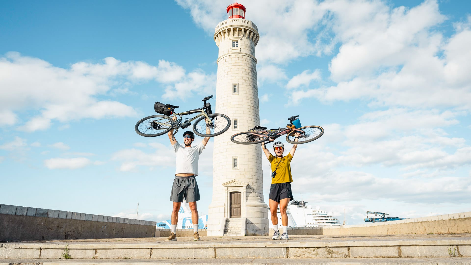
ViaRhôna in Sète (34) (photo credit: Auvergne-Rhône-Alpes Tourisme/Peignée Verticale)
Part 4: How do you navigate ViaRhôna?
15. Is there a ViaRhôna route map and guidebook? How to buy them?
Use the official ViaRhôna maps and stage sheets on the website as your main planning source. They are the most useful place to check the latest route alignment, stage distances, services, surfaces, signpostings and any provisional sections.
You can also:
- pick up a paper ViaRhôna map from tourist offices along the route and/or download them for free here;
- use the interactive map of the 25 stages on the ViaRhôna website;
- download or print the stage sheets, including maps, from the website.
Several French and foreign publishers also publish ViaRhôna guidebooks. You can find them here.
This komoot route contains cookies...
I’m fine with komoot cookies
This komoot route is the same as the one featured in part 1. For alternative routes, take a look at our themed route section in our ViaRhôna guide.
16. Do you need a GPX file to navigate ViaRhôna?
ViaRhôna is signposted, but a GPX file or offline map is still useful. This is especially true where signs are missing, where the route uses provisional sections, or when riding through towns and busier areas.
Download the relevant GPX files or stage sheets before setting off, and check the latest map before travelling.
For official GPX files, use the ViaRhôna GPS tracks page.
17. When does the ViaRhôna cycling route open?
ViaRhôna can be ridden year-round, but some provisional sections may have temporary detours.
Check the current works on ViaRhôna before travelling.
18. Is ViaRhôna fully complete, or are sections still under construction?
ViaRhôna is still being developed in places, so cyclists should check the latest stage information before travelling. Provisional sections may use shared roads or temporary alignments, and these may not suit every rider.
The route is 87% complete. The remaining sections are expected to be completed by 2030.
Use the interactive map to check current route status, provisional sections and any temporary changes before fixing your itinerary. Provisional routes are marked in red on the interactive map.
The page describing current works on ViaRhôna is also useful.
Part 5: What bike should you use for the ViaRhôna cycle route?
19. What kind of bikes are suitable?
The type of bike depends on how you plan to ride the route, the surfaces you choose and whether you are carrying luggage. A hybrid, touring or gravel bike will suit most cyclists. A mountain bike is not necessary and a pure road bike is less flexible on rougher or sandy sections.
| Bike type | Good for | Watch out for |
| Hybrid bike | Most riders, mixed surfaces and relaxed touring. | Less quick than a road bike. |
| Touring bike | Multi-day riding with luggage. | Less quick than a road bike. |
| Gravel bike | Mixed surfaces and riders who want flexibility. | Tyre choice matters. |
| Road bike | Asphalt sections and lighter setups. | Not ideal for rougher paths, gravel or sandy sections. |
| E-bike | Longer days, mixed ability groups and those riding in hilly sections and concerned about fitness. | Plan charging and secure storage. |
20. What do most people ride?
Most cyclists use hybrid or touring bikes because they are flexible across mixed surfaces. Gravel bikes are also useful for rougher sections, while e-bikes are increasingly common for longer distances or riders carrying luggage.
21. Could you ride it on a road bike?
A road bike can work on some asphalt sections, but it is not the most flexible choice for the whole ViaRhôna. If you plan to ride a road bike, check the official stage surfaces carefully before travelling.
Wider tyres may make the route more comfortable where surfaces are rougher or where short gravel or sandy sections appear.
22. Can you e-bike? Are there charging stations?
E-bikes are a good option for riders who want help with longer days, luggage or hillier sections. Check charging options before travelling, especially if staying in smaller places or riding longer stages.
Many cyclist-friendly places to stay, including some Accueil Vélo labelled accommodation, may be able to help with charging or secure bike storage.
ViaRhôna also crosses many villages, where restaurants and bars may be able to offer some charging during your ride.
23. Bike rental options: where and what?
Bike rental is available in several towns along the route, including options for hybrid bikes, e-bikes and one-way hire in some areas.
If you want to avoid transporting your own bike, check the official ViaRhôna services map and the ViaRhôna rental and repair page. You can also contact providers directly before booking. For example:
- Avelo ViaRhôna for Geneva to Lyon
- Prolynx Sports around Chanaz and Seyssel
- Chez Paulette in Lyon
- Carbone Zéro in Valence
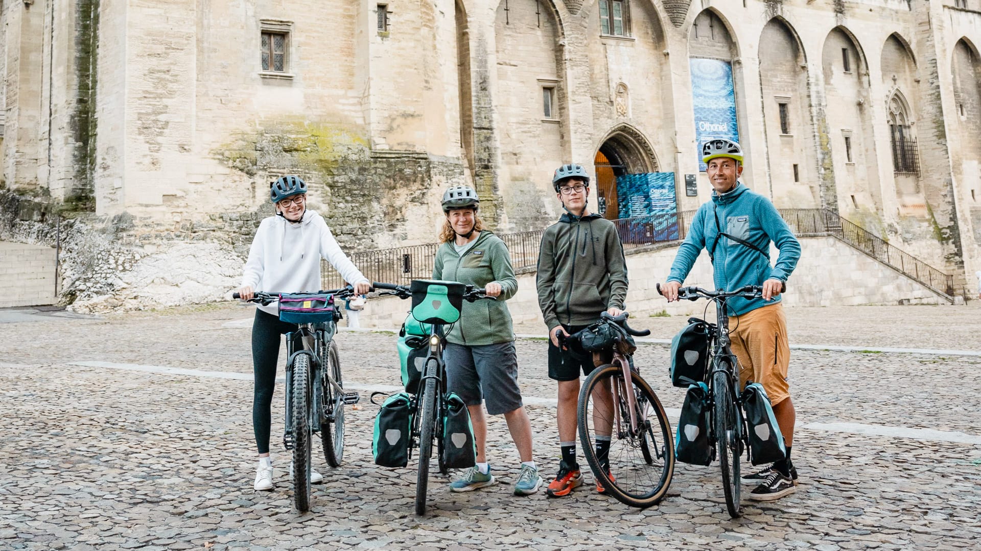
Group of cyclists in Avignon (84) (photo credit: Auvergne-Rhône-Alpes Tourisme/Peignée Verticale)
Part 6: Where do you stay on ViaRhôna?
24. What kind of accommodation is there?
There is a mix of accommodation along ViaRhôna, including hotels, guest houses, B&Bs, campsites and more unusual places to stay. Availability varies by section and season, so it is worth planning overnight stops before fixing your daily distances.
Look out for the Accueil Vélo label on the ViaRhôna accommodation page. This French cycle-tourism label identifies cyclist-friendly services within five kilometres of the route, including places to stay, bike hire and repair shops, tourist offices, restaurants and visitor sites. There are over 580 Accueil Vélo establishments along the ViaRhôna. These services can be filtered on the official ViaRhôna interactive map.
The route also has more than 100 campsites, many with bike-friendly services, as well as unusual accommodation such as floating lodges, boat stays and treehouses.
Cyclists who like the idea of the ViaRhôna but do not want to plan every detail from scratch including accomodation, can also explore organised trip ideas along the route. For more organised trip ideas and cycling holiday options, check out the official ViaRhôna organised trip page.
25. Do you need to book accommodation in advance, and how easy is it to find bike-friendly places to stay, such as Accueil Vélo?
In July and August, book accommodation in advance, especially in popular towns and coastal areas. Outside peak summer, you may have more flexibility, but it is still worth booking key overnight stops if you are riding point to point.
Campsites may be easier to arrange at shorter notice, but this depends on the section and time of year.
26. Can you wild camp on ViaRhôna?
Bivouacking, a form of wild camping, involves setting up your tent at sunset and leaving the next morning before sunrise, without leaving any trace. This practice is highly regulated and only possible if you have the permission of the landowner. Before any bivouac, check at the local tourist office.
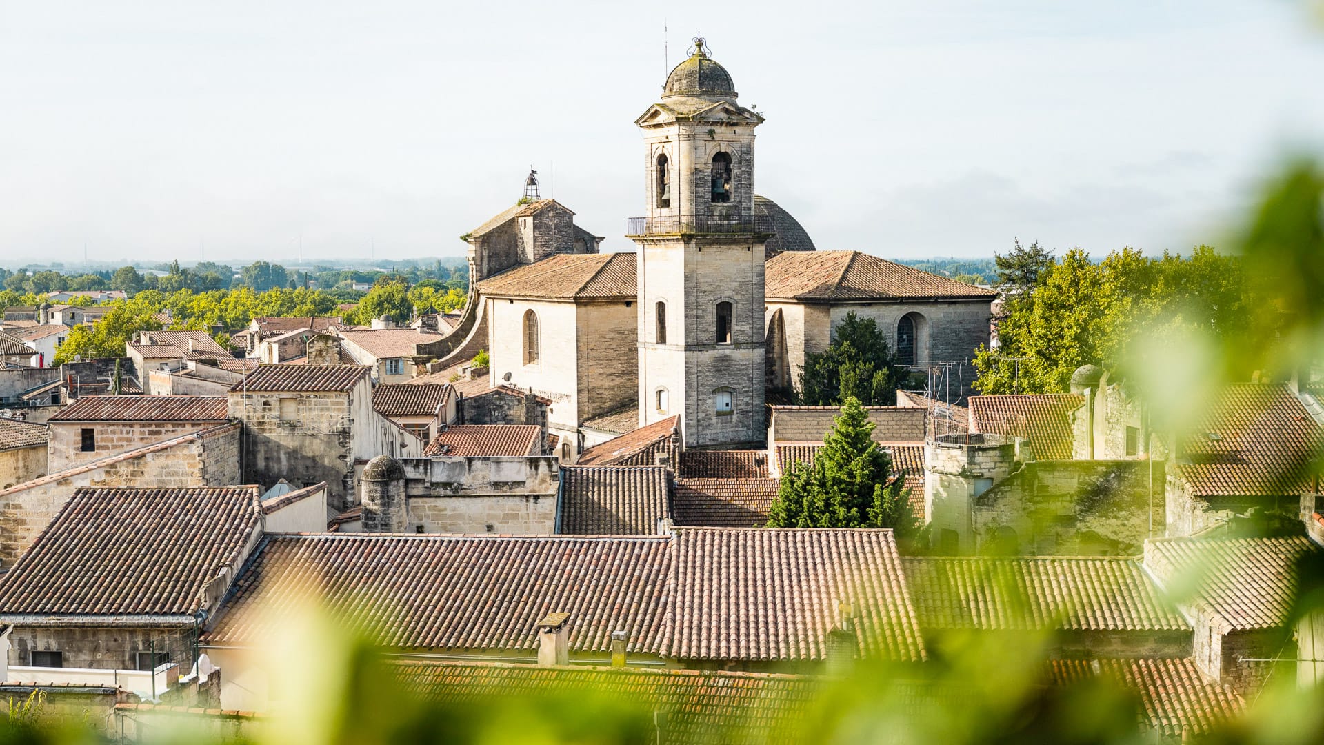
ViaRhôna in Beaucaire (30) (photo credit: Auvergne-Rhône-Alpes Tourisme/Peignée Verticale)
Part 7: What weather should you expect?
27. What is the best time of year to ride ViaRhôna?
| Season | Good for | Watch out for |
| Spring | Mild riding conditions, flowers and quieter stages. | Changeable weather in the north. |
| Summer | Long daylight hours and a Mediterranean finish. | Heat, lots of tourists and exposed southern sections. |
| Autumn | Harvest, quieter riding and comfortable temperatures. | Rain can be more likely in some northern sections. |
| Winter | Quiet riding on some southern sections. | Cold conditions in the north and some closed services. |
28. Can you ride throughout the year?
ViaRhôna can be ridden year-round, but choosing the right section depends on the season. The northern sections around Lake Geneva and towards Lyon are generally more appealing in warmer months. Some southern sections can work well outside peak summer and winter can be a good time to ride along the Mediterranean Sea.
In July and August, heat can be a major factor from Valence southwards. Start early, carry enough water and allow time for shade and longer breaks.
29. Any considerations depending on the time of year?
The mistral is a strong, cold, and dry northwesterly wind that blows from southern France down through the lower Rhône Valley. It can affect riding in Provence and the Camargue, particularly on exposed sections. Pack a windproof layer and check the forecast before long southern stages.
In the northern sections, weather can be more changeable, especially near Lake Geneva and the Alpine-influenced parts of the route. Layers and rain gear are useful.
In summer, heat can be a major factor in the south, with temperatures reaching 30 to 35°C. Start early, carry plenty of water and plan shaded stops where possible.
Mosquitoes can also be an issue in the Camargue in warmer months, especially around dusk.
30. Is ViaRhôna busy?
How busy ViaRhôna feels depends on the section and time of year. In summer, the Camargue and Mediterranean sections can be busier, especially near popular towns, Mediterranean beaches and visitor sites.
Sections near larger towns, including parts around Lyon and Valence, may also be busier with local riders and commuters. Quieter stretches are more likely early in the day, outside peak summer, or on less central sections.
If you prefer quieter riding, consider travelling in spring or autumn and starting earlier in the day.
Part 8: What to pack?
Packing will depend on the season, section and whether you are riding with luggage. As a starting point, consider:
- Helmet
- Padded shorts or comfortable cycling kit
- Breathable layers
- Windproof or waterproof layer
- Gloves and sunglasses
- Sunscreen and lip balm
- Mosquito repellent, especially for the Camargue
- Two water bottles or a hydration pack
- Spare tube, pump, tyre levers and multi-tool
- Front and rear lights
- Phone mount, GPS device or offline maps
- First aid basics
- Lightweight off-bike clothes
- Swimsuit and towel for southern or coastal sections
Use the official map to check water points, but do not rely on every water point being open. Carry enough water for the stage, especially in hot weather or during drought restrictions.
For more tips on what to bring, take a look at this cycling holiday packing list before you travel.
Part 9: What other practicalities should you know about?
At a glance overview
| Practical point | What to know |
| Food and drink | Available in many towns and villages, but check quieter stages before riding. |
| Water | Use the official map filters, but carry water in case points are closed. |
| Toilets | Usually found in towns, train stations, cafés and campsites. |
| Bike repairs | Available in many towns. Some services are Accueil Vélo labelled. There are over 580 Accueil Vélo establishments along ViaRhôna. |
| Luggage transfer | Available on some stages through transport providers. |
| Cash and cards | Cards are widely used, but cash is useful for small rural stops. |
| Language | French is useful, especially away from tourist areas. |
| Cycling rules | Ride on the right, use lights at night and remember helmets are compulsory for children under 12. |
| Trailers and adaptive bikes | Many greenways are designed to be easier to use, but older barriers may still exist. |
For bike-friendly accommodation, restaurants, bike rentals, tourist offices and places to visit along the route, see the official Accueil Vélo services page.
31. Is it possible to ride the ViaRhôna cycle route without support?
It is possible to ride ViaRhôna without support, especially if you plan stages carefully and check services in advance.
The route signs, maps and GPX files help with navigation, while the interactive map can help you find accommodation, food, bike services and water points. That said, services are not evenly spaced along every section, so carry water, snacks, basic tools and offline navigation.
If a sign is missing, look ahead for the next sign, check whether there is a sign in the opposite direction, and use your map or GPX file to confirm the route.
32. What if you need mechanical assistance? Are there shops or companies that can help?
Bike repair shops are available in many towns along the route, and some are Accueil Vélo labelled. In some areas, mobile repair services may also be available. The route crosses a village roughly every 30 kilometres, so you should usually be able to plan service stops at regular intervals.
Check the official ViaRhôna services map before travelling, especially if you are riding a quieter section or using an e-bike, trailer or adapted bike.
33. Is luggage transfer available along ViaRhôna?
Luggage transfer is available on some sections of ViaRhôna. This can be useful if you want to ride with a lighter bike or are planning a more relaxed point-to-point trip.
Here you can find a list of luggage transfer services.
34. Are there plenty of places to get drinks/food all along the route?
There are many places to stop for food and drink along ViaRhôna, especially in towns, villages and popular visitor areas. Quieter stages may have fewer services, so check the interactive map before setting off. This is particularly worth noting on the Arles to Port-Saint-Louis-du-Rhône section and on some northern sections before Lyon.
Accueil Vélo labelled services appear by default on the official ViaRhôna map. These are all within 5km of the route. You can also adjust the filters to show more services along the route.
If you prefer not to organise each stop yourself, ViaRhôna also lists all-inclusive trips that can help with accommodation, services and itinerary planning. More information is available on the ViaRhôna website.
35. How easy is it to find water points, shops and places to stop along the route?
Use the interactive map to check water points, shops and services before each stage. Water points may occasionally be closed, for example during drought restrictions, so carry enough water for the day.
If you are unsure, tourist offices, cafés, restaurants, bike hire shops and repair shops are also good places to ask.
36. Do you need cash? Which currencies are most useful?
Cards are widely accepted in many places but carry some cash for small shops, markets, cafés or rural stops.
The euro is used in France. If you start in Switzerland, Swiss francs may be useful for some early stages.
37. Do you need to be able to speak French?
French is the main language along the route. English is spoken in some tourist areas, but less consistently in smaller towns and villages.
You do not need fluent French, but a few useful phrases can make the trip smoother.
Useful phrases include:
- Bonjour: hello.
- Pouvez-vous m’aider ?: can you help me?
- Où est le magasin de vélos le plus proche ?: where is the nearest bike shop?
- J’ai crevé: I have a puncture.
- Merci: thank you.
38. Traffic/cycling rules you should know?
Cyclists should follow French road rules and take extra care on shared roads, greenways and town sections.
Key points include:
- Ride on the right.
- Use front and rear lights at night.
- Helmets are compulsory for children under 12.
- Respect traffic lights and signs.
- Give way to pedestrians on shared paths and greenways.
39. Are there toilets along the route?
Toilets are usually available in towns, train stations, rest areas, cafés, restaurants and campsites. Availability varies by section, so check the interactive map before each stage if this is important for your ride.
In cafés and restaurants, it is polite to buy something if you want to use the facilities.
40. Are there any access issues for trailers, tandems or adaptive bikes?
Many greenways on ViaRhôna are designed to be easier for trailers, tandems and adaptive bikes to use, with staggered barriers or no barriers in some places.
Some older barriers and bollards may still exist. If you are travelling with a trailer, tandem or adaptive bike, contact the ViaRhôna Facebook page to check the accessibility of your chosen route before you set off.
Part 10: Anything else I should know about cycling ViaRhôna?
41. Special food and drink to look out for?
| Area | Food and drink to look out for |
| Savoie and Bugey | Fondue savoyarde, raclette, tartiflette, Beaufort, Tomme de Savoie, Reblochon, Saint-Genix brioche, and Bugey wines (especially Cerdon sparkling wine). |
| Lyon | Quenelles de brochet, saucisson brioché, rosette de Lyon, cervelle de canut, praline tart (tarte aux pralines), and wines from the nearby Beaujolais and Côtes du Rhône. |
| Rhône Valley | Côte-Rôtie, Hermitage, Crozes-Hermitage, Condrieu, and Châteauneuf-du-Pape wines, ravioles du Dauphiné, Picodon goat cheese, and Montélimar nougat. |
| Camargue and Mediterranean | Gardianne de taureau, Camargue rice, Aigues-Mortes fleur de sel, oysters from Bouzigues, tielle sétoise, brandade de Nîmes, and Muscat de Frontignan. |
42. Are there any cycling events on ViaRhôna?
Several events take place in towns and cities along or near ViaRhôna. These can add interest to a trip, but they can also make accommodation busier, so check dates before booking.
Examples include:
- Jazz à Vienne, Vienne, in June and July.
- Festival d’Avignon, Avignon, in July.
- Fête des Lumières, Lyon, in December.
43. Are there any other good rides near the ViaRhôna cycling route?
ViaRhôna links with a number of local loops and nearby cycling cycle routes, so it can work as the backbone for a longer cycling holiday trip. These routes can be found on the official website.
For more route ideas and itinerary details, check out our full guide to cycling ViaRhôna.
44. What is the history of the ViaRhôna cycling route?
Why does the route follow the Rhône?
The Rhône has been an important trade and travel route for more than 2,000 years, linking the French Alps, the Rhône Valley and the Mediterranean.
ViaRhôna follows this historic corridor by bike, connecting river landscapes, Roman heritage sites, wine regions, towns and ports.
When was the route established?
The ViaRhôna project began in the late 1990s, with formal development starting in 2004 to 2005. The route opened in stages, with many sections completed during the 2010s.
The full route is 815 kilometres. Some sections are still being developed, so cyclists should check the latest route status before travelling.
Who runs it?
ViaRhôna is developed and managed by a mix of regional, local and tourism bodies along the route.
These include the regions of Auvergne-Rhône-Alpes, Occitanie and Provence-Alpes-Côte d’Azur, as well as local authorities, departments, towns and tourism organisations. The route is also part of EuroVelo 17, the Rhône Cycle Route.
Before setting off, check the latest stage map, route status, GPX files, accommodation, train-bike rules, weather and water points.
What’s ViaRhôna’s full name?
ViaRhôna: La véloroute du Léman à la Méditerranée, which means the Rhône Cycle Route from Lake Geneva to the Mediterranean.
What’s ViaRhôna’s connection with EuroVelo?
ViaRhôna is the French section of EuroVelo 17, the Rhône Cycle Route. EuroVelo 17 follows the Rhône from the Swiss Alps towards the Mediterranean.
In Switzerland, the route is known as La Route du Rhône. In France, ViaRhôna continues the journey south through the Rhône Valley towards Sète or Port-Saint-Louis-du-Rhône.
45. Where can readers find official ViaRhôna planning information?
For current maps, GPX files, stage details, services and route status, use the official ViaRhôna website.
For more safety information, see the ViaRhôna safety page.
If you prefer a more organised trip, the ViaRhôna website also has a dedicated trips page. This includes a selection of ready-made cycling holiday ideas, with options for different trip lengths, interests and riding levels.
What’s next?
Thanks to Raphael Trichard for sharing these answers to FAQs on the ViaRhôna cycle route. For a detailed guide please check out our in-depth article on cycling ViaRhôna.
Looking for more exciting content on cycling in France?
- Cycling France, our central hub for the country.
- Cycling Morzine, for the best bases and routes.
- Cycling Corsica, with tips for cycling this beautiful island.
- Boat and bike tours in France, including the best regions, routes and tours (plus other tips!)
- 9 best long-distance cycling routes in France, featuring our top picks.
Got a question for Raphael?
Fill out this form and we will send it to Raphael. We aim to get you an answer within 24 hours where possible!For the past three years, Raphael Trichard has been leading the technical coordination of the ViaRhôna Route Committee, backed by the political vision of the Auvergne-Rhône-Alpes Region. His mission is to bring together a close-knit team of four, Sophie, Camille, Vincent and Caroline, as well as a network of dedicated partners, to deliver on every front: infrastructure, services, promotion and governance. The aim is simple: to create a cycling experience that is smooth, uninterrupted and open to everyone, whether they are out for a leisurely ride or on a long-distance adventure.
Day to day, he focuses on making things happen on the ground. Whether completing a new section of the route or rolling out an innovative service, every milestone enhances the quality of the journey and meets the different needs of cyclists. His real challenge is bringing local authorities, tourism professionals and socio-economic stakeholders together to ensure the route is intuitive, cohesive and open to all.
Cycling has always been part of who he is. From childhood, it has been his symbol of freedom and, over time, it has become his go-to for everything, whether commuting, tackling mountain passes or travelling. ViaRhôna builds on that passion, offering a unique way to explore the Rhône’s regions, landscapes and heritage at your own pace. It is an invitation to discover authentic stories, the river and the people met along the way.
First Published: 07 July 2026
This article includes details of products and/or services that we have used ourselves or which we would consider using. Some are paid features or include affiliate links or referral codes which we may earn commission from. As an Amazon Associate we earn from qualifying purchases. Please read our disclosure policy for further information.
The contents of this website are provided for general information purposes only. It is not intended to amount to advice and you should not rely on it. You should carry out your own due diligence and risk assessments and take professional advice. Views expressed by interviewees or other users of this website do not necessarily represent our views. We make no representations, warranties or guarantees, whether express or implied, that the content on our website is accurate, complete or up to date. If you use any information or content on this website, download from, or otherwise obtain content or services through our website, it is entirely at your own discretion and risk. Epic Road Rides Ltd disclaims all liability and responsibility arising from any reliance placed on the information and content on this website. Find out more here.
Sponsor Message
Considering cycling the ViaRhôna?
Head to the ViaRhôna website to find out more about the route.
Comments