
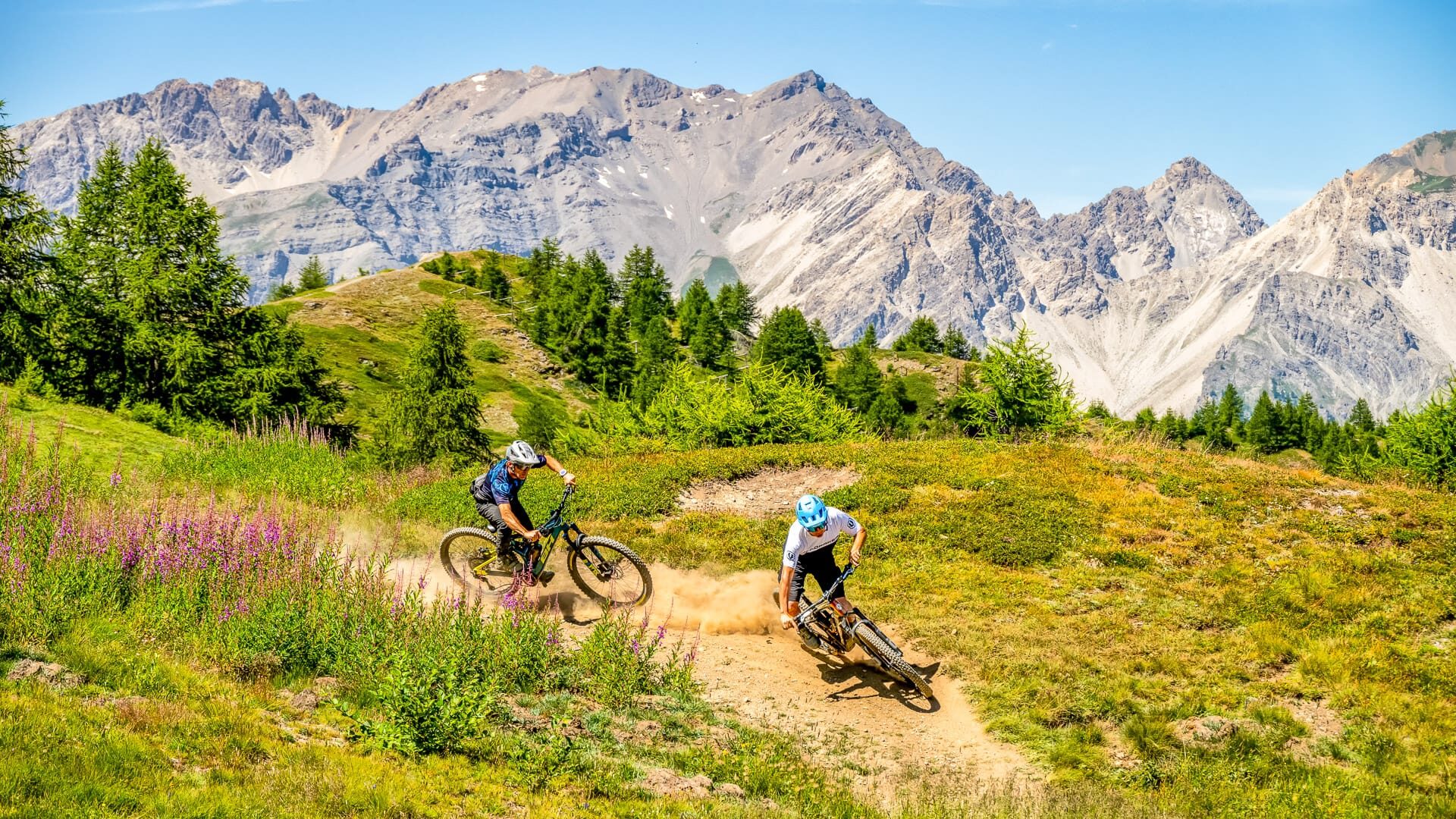

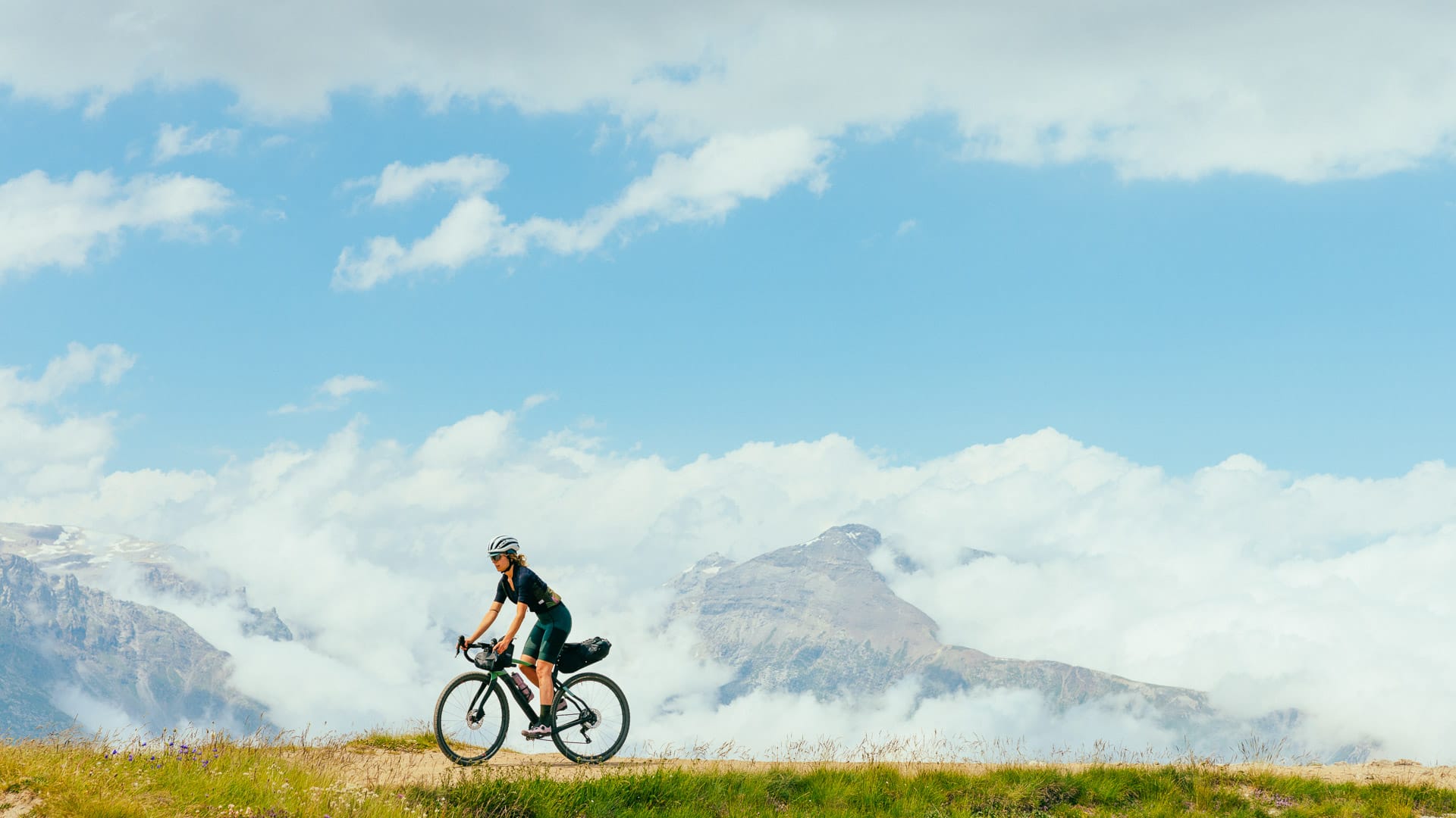
Cycling in Italy’s Piedmont region is for riders looking for big climbs, quiet valleys and a strong sense of cycling history.
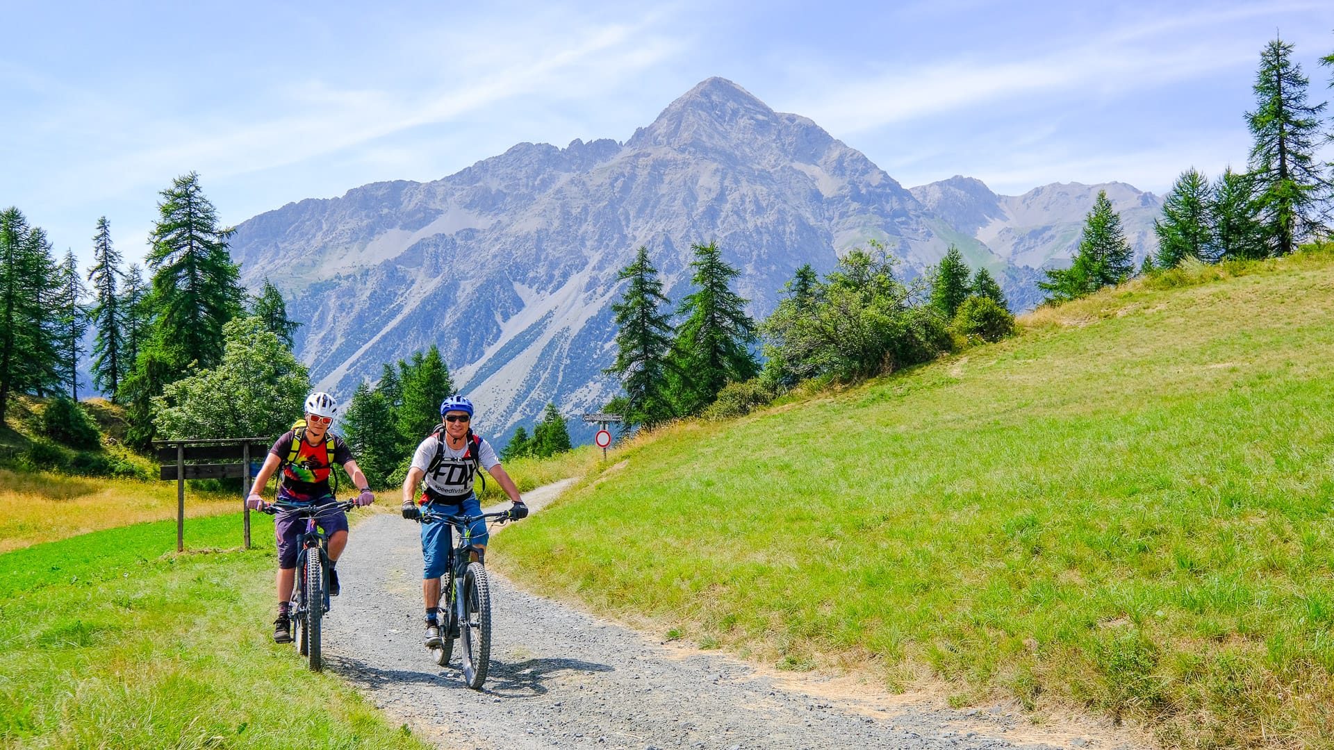
Piedmont may be best known for the Alps, but for cyclists it offers far more than one style of riding. Road cyclists can take on long mountain climbs made famous by the Giro d’Italia. Gravel riders can explore old military roads and high-altitude tracks. Leisure cyclists can follow rivers, parks and quiet rural roads.
In this article, we focus on two of Piedmont’s most popular cycling areas:
- Turin: we spoke to Alberto Surico, head of outdoor tourism development and promotion at Turismo Torino e Provincia. The Turin region is ideal for riders who want city access, classic climbs and Alpine roads. It’s home to famous climbs such as Superga, Colle delle Finestre and Colle del Moncenisio.
- Cuneo: we spoke to Gabriella Giordano, Chair of ATL del Cuneese. The Cuneo region is excellent for riders who want high mountain passes, gravel adventures and quieter roads. It’s home to famous climbs such as Colle Fauniera, Colle dell’Agnello and Colle di Sampeyre.
These two areas showcase some of the best cycling in Piedmont. You can ride famous race roads, explore quieter valleys and combine serious mountain days with easier cycling routes, historic towns and memorable food.
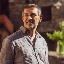
Alberto Surico is Head of Outdoor Tourism at Turismo Torino e Provincia.
His role is to help more people discover Torino and its province as an outdoor destination. Cycling is a big part of that. From alpine climbs and quiet valleys to routes linking culture, food and history, the area has huge potential for riders.
At Turismo Torino e Provincia, Alberto promotes the region to visitors, tour operators and media in Italy and abroad. His aim is simple: to show why Torino is a brilliant place to ride, stay longer and explore more.
Photo credit: Giorgio Gulmini

Gabriella Giordano has served on the board of ATL del Cuneese since 2014, giving her a direct view of the Cuneo area’s development into a recognised cycling and outdoor destination.
During this time, cycling tourism has become an increasingly important part of the region’s tourism identity, supported by its mountain landscapes, sporting heritage, outdoor experiences and specialist hospitality services.
In 2025, she was appointed Chair of ATL del Cuneese. In this role, she works to strengthen the destination’s international visibility and support the continued development of sustainable, experience-led tourism across the region.
Always check current travel information and advice. For visitors from the UK, the UK government travel information pages are here.
Table of contents
This guide contains a lot of useful information. To help make it more digestible, we’ve broken it down into several parts:
- Part 1: Piedmont overview
- Part 2: Turin
- Part 3: Cuneo
- Part 4: Connecting Turin and Cuneo
- Part 5: Tips for cycling Piedmont
Part 1: An overview of Piedmont
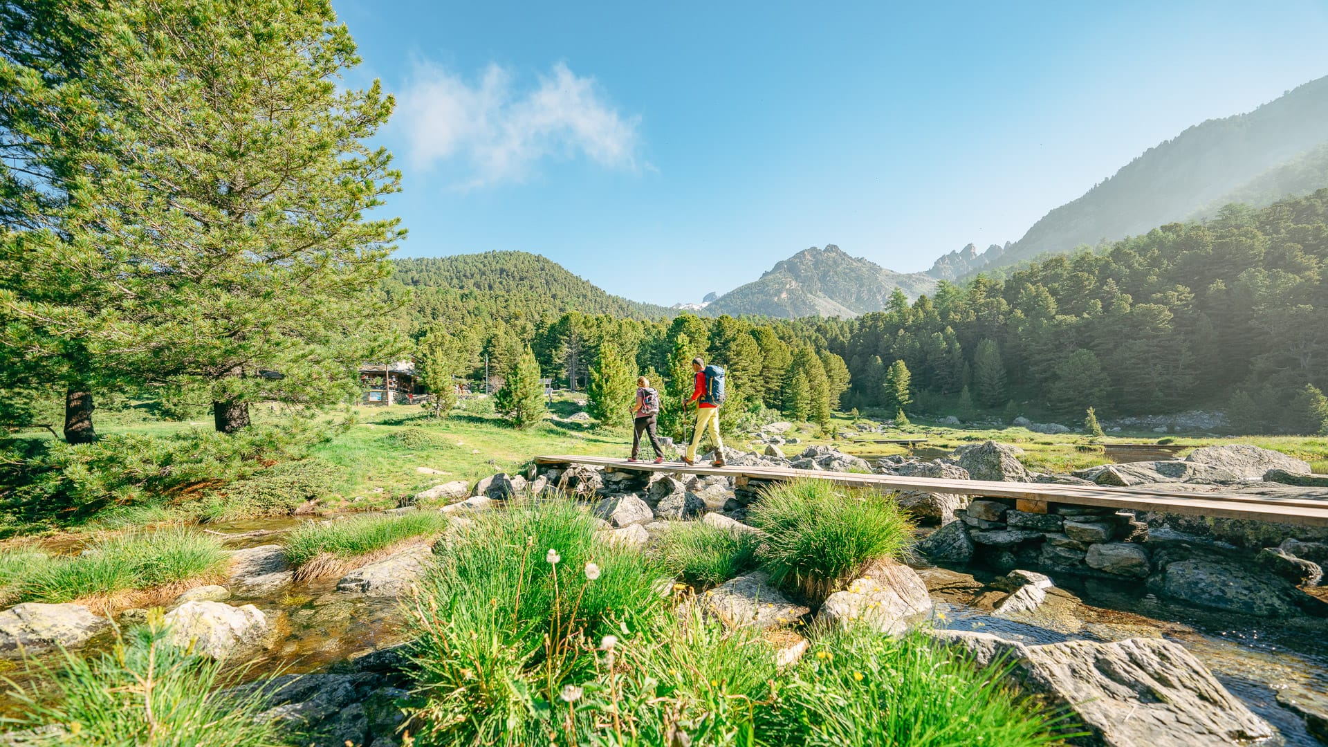
Piedmont sits in north-west Italy, bordering France and Switzerland. Surrounded by the Alps on three sides, it is one of Italy’s strongest regions for cycling, with famous mountain roads, quieter valleys, vineyard hills and a long connection to professional racing.
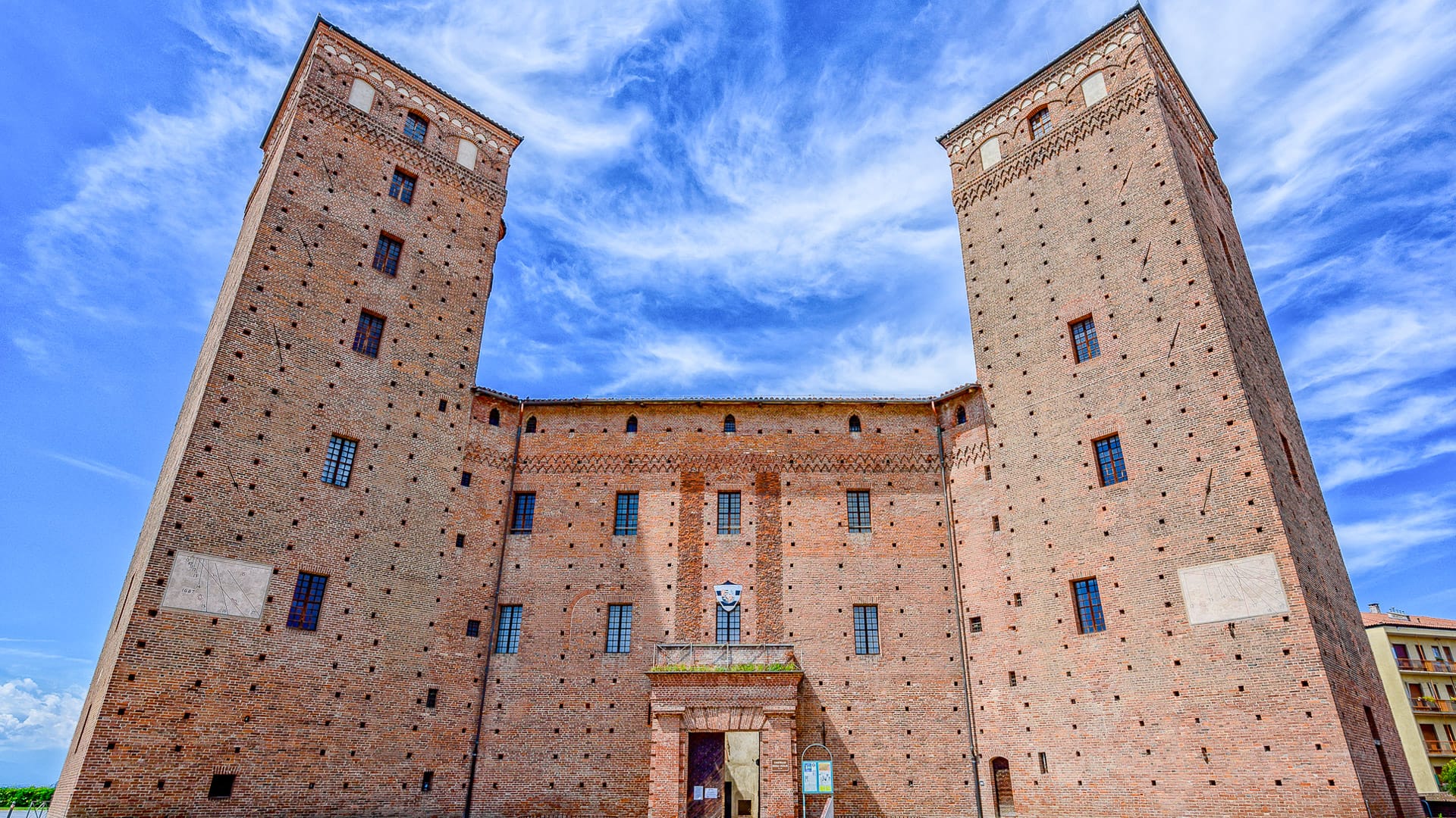
Turin is the capital and largest city, but the region stretches far beyond the city itself. Piedmont includes high Alpine valleys, rolling wine regions, rivers, historic towns and some of Italy’s best-known climbs.
For cyclists, Piedmont is closely linked to the Giro d’Italia. The region regularly features in the race and has also hosted stages of the Tour de France and Vuelta a España. Climbs such as Colle delle Finestre, Colle Fauniera and Colle dell’Agnello are well-known names amongst followers of pro cycling and firmly part of cycling history.
One of Piedmont’s strengths is the contrast between riding styles. Some areas are focused on long Alpine climbs and high mountain passes. Others suit gravel riding, leisure cycling or quieter countryside cycling routes through vineyards, rivers and smaller villages.
People also visit Piedmont because there is plenty to enjoy off the bike. The region is known for wine, food and historic towns, with local specialities including Barolo, white truffles, chocolate and Alpine cheeses.
In this guide, we focus on two of Piedmont’s standout cycling areas:
Turin is best known for city access, the Superga climb and routes into the Susa Valley, including Colle delle Finestre and Colle del Moncenisio.
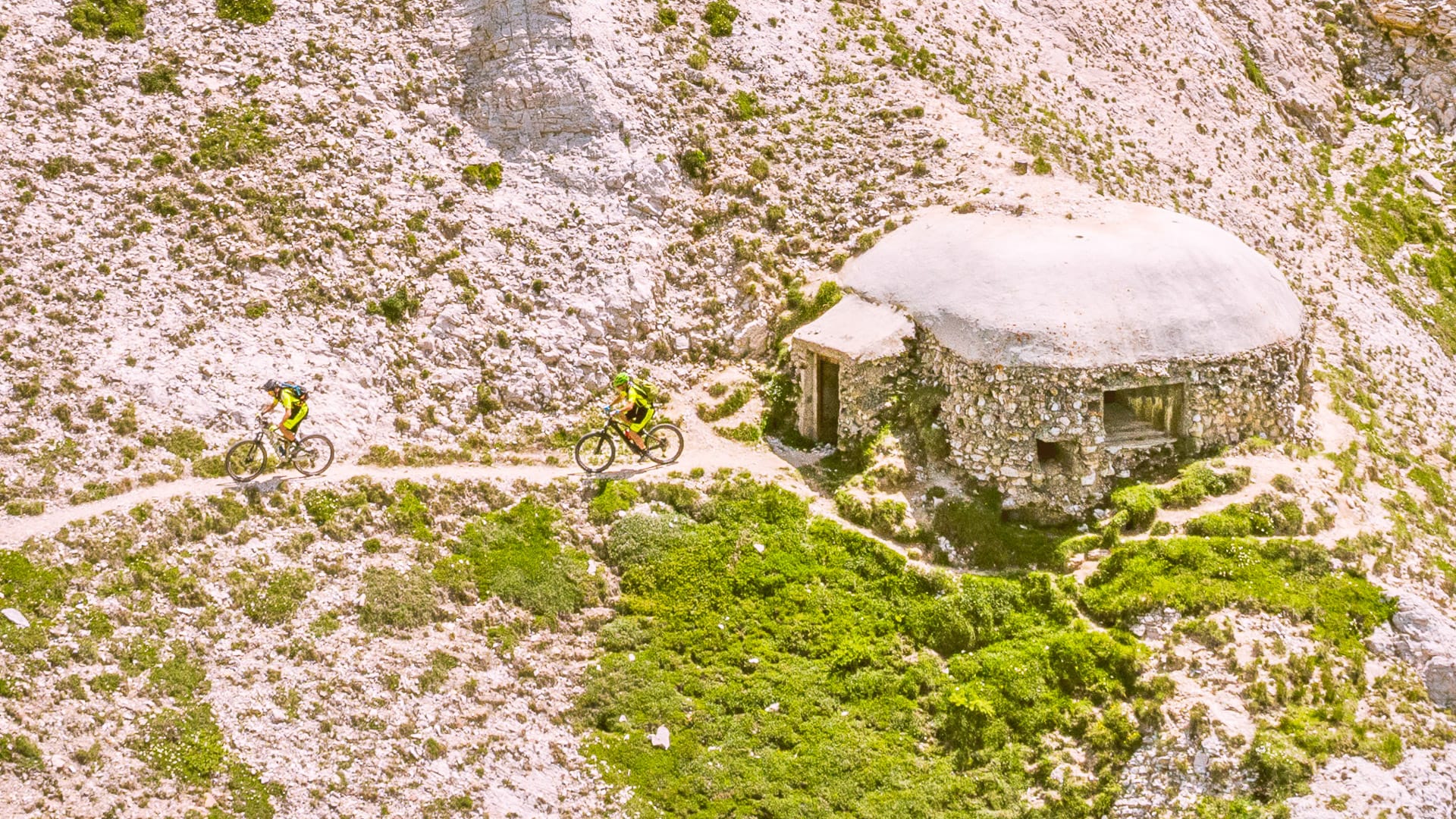
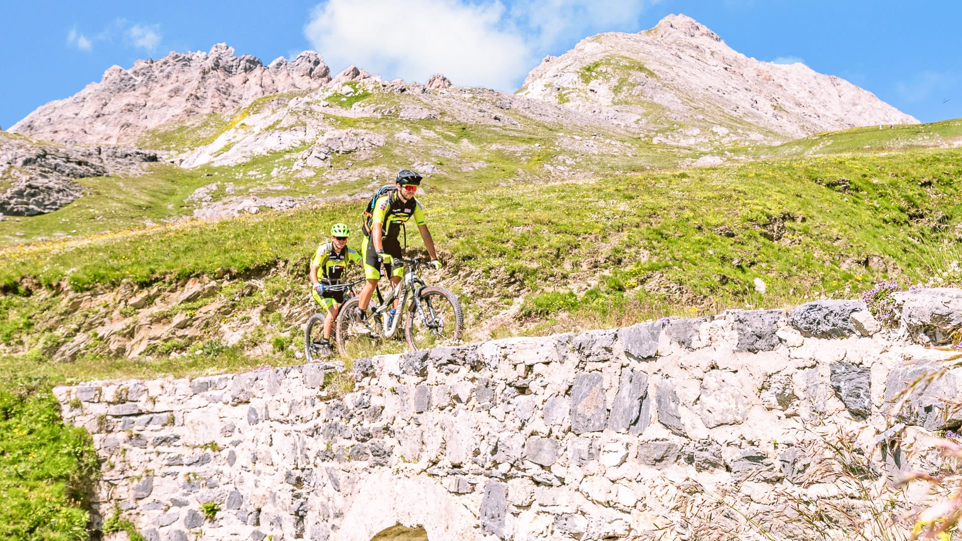
Cuneo is known for quieter Alpine valleys, major climbs such as Colle Fauniera and Colle dell’Agnello, and high-altitude gravel routes including the Alta Via del Sale.
Read on for a closer look at each area, including where to ride, where to base yourself and what to know before you go.
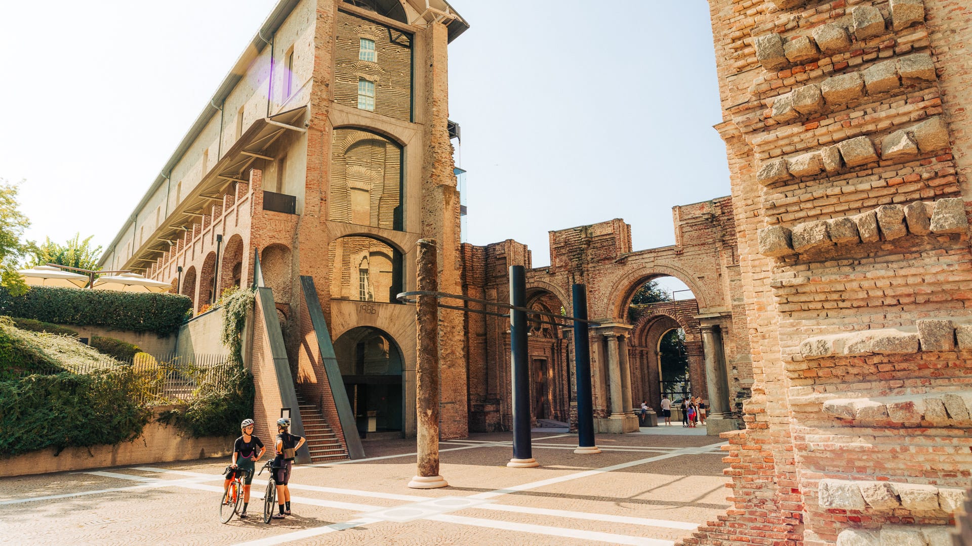
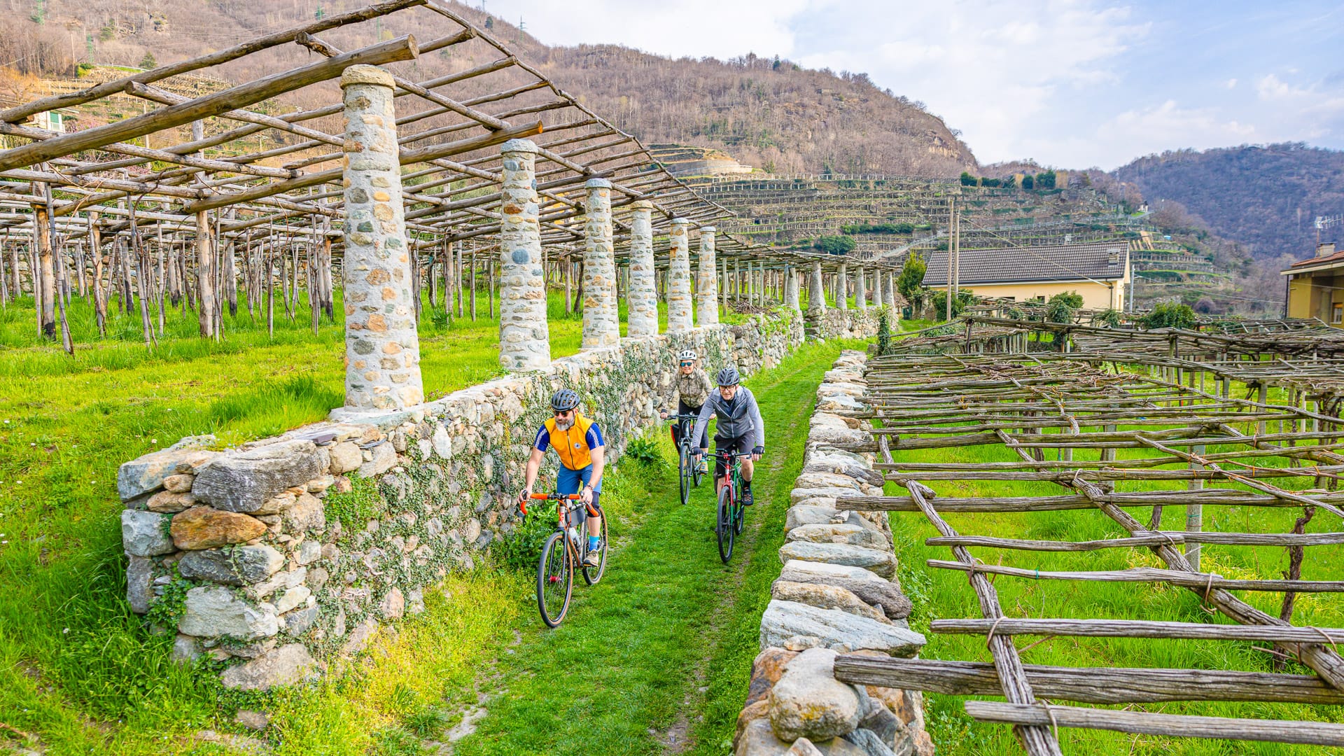
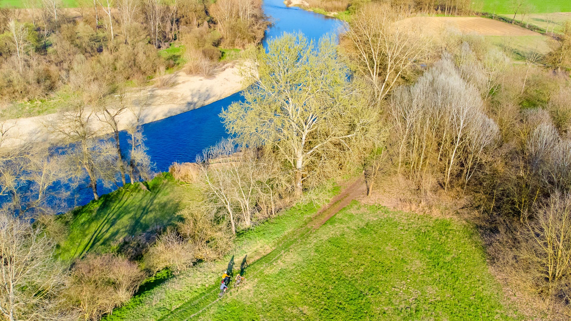
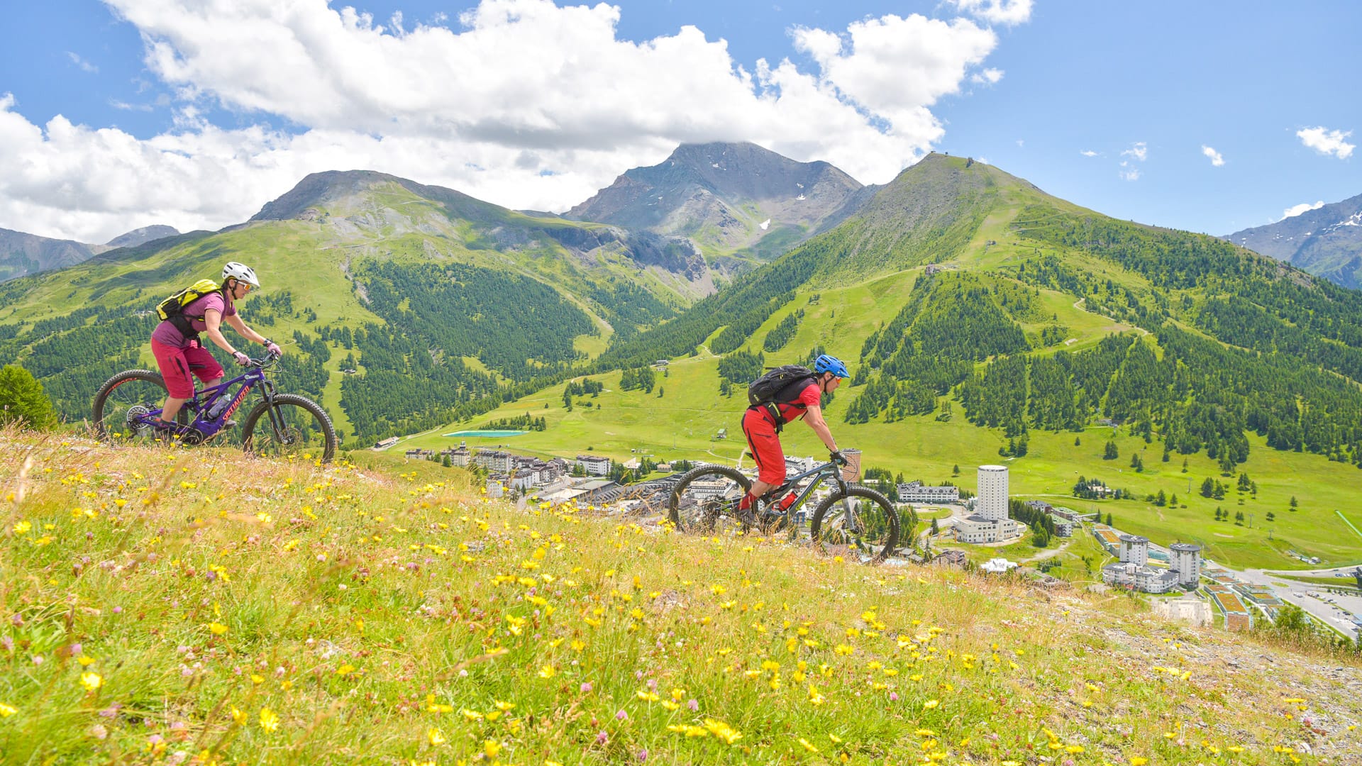
Part 2: Turin
2.1 Why should cyclists visit the Turin region of Piedmont?
From the city to the Alps
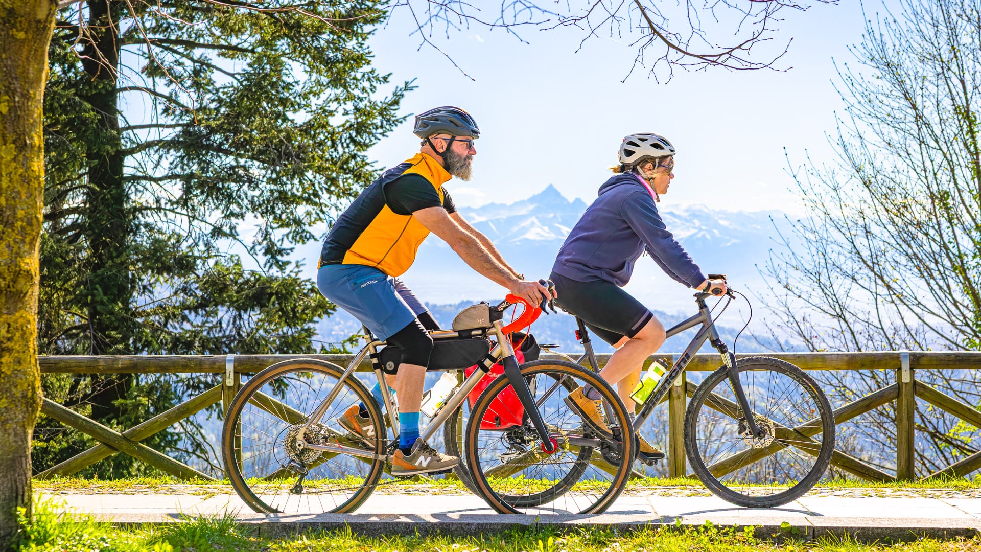
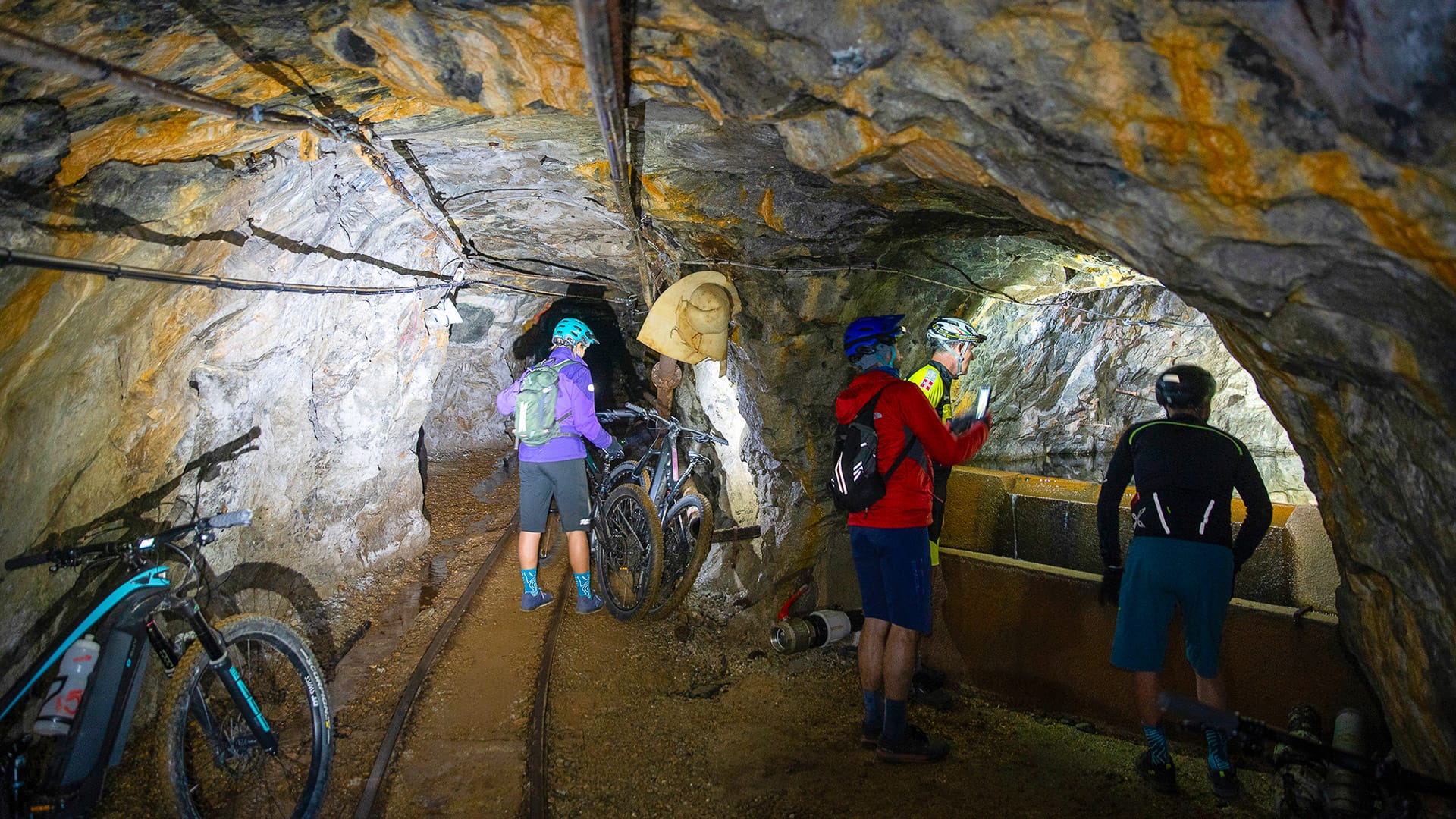
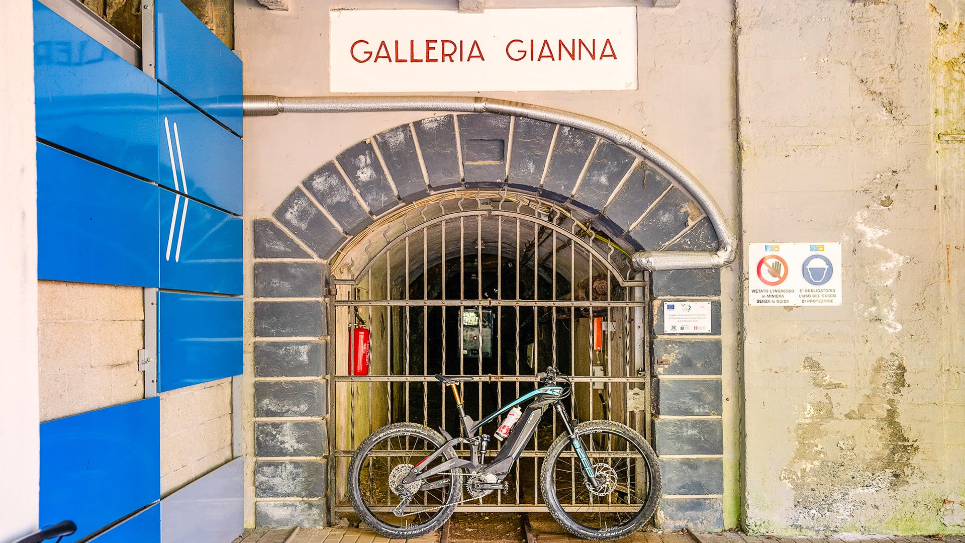
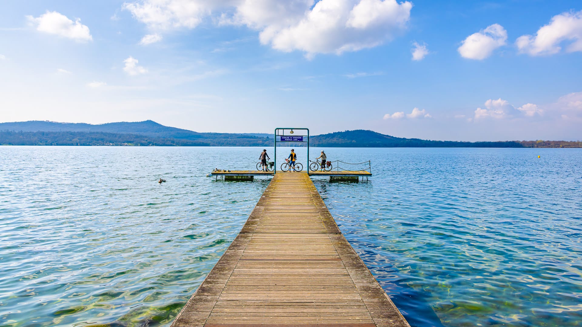
The Turin region is one of Piedmont’s most practical cycling areas. It combines a major city base with quick access to hills, valleys and high mountain roads.
Turin gives cyclists accommodation, transport links, bike shops, cafés, museums and plenty to do off the bike. It is also close enough to the hills and mountains to make varied riding possible without complex logistics.
This makes the region useful for different kinds of cycle tours. Riders can use Turin as a base for shorter rides, or head deeper into the valleys for more demanding mountain days.
Classic climbs close to Turin
Some of the region’s best-known rides are within easy reach of the city.
Superga is the classic local climb, rising into the hills east of Turin. Further west, the Susa Valley opens the way to bigger mountain roads, including Colle delle Finestre and Colle del Moncenisio.
Further into the mountains, areas such as Bardonecchia, Sestriere and Via Lattea give riders access to high-altitude roads, old military routes and trails. This makes the Turin region especially strong for cyclists who want to combine road, gravel and MTB riding in one trip.
A strong cycling culture
Cycling is part of the identity of the Turin region.
The area has hosted major races and stages, and many of its roads are familiar to fans of professional cycling. Milan-Turin, Giro del Piemonte and stages of the Giro d’Italia have all helped build the region’s cycling profile.
For visiting cyclists, this history adds context to the riding. The roads are not just scenic. Many have been shaped by more than a century of Italian cycling culture.
Cyclist-friendly services
Cyclists will find a useful network of services across the Turin region.
There are repair shops, guides, marked cycle routes and cyclist-friendly accommodation in many of the main riding areas. For more information, visit the Turismo Torino e Provincia website. For bike hire providers see below.
The Valsusa and Via Lattea Bike Experience network is a useful resource for riders heading into the mountains. It includes hotels, B&Bs, holiday farms, campsites and lodges that understand practical needs such as secure storage, early starts, packed lunches and route suggestions.
Beyond the bike
The Turin region also works well for a cycling holiday because there is plenty to do between rides.
Turin has historic cafés, museums, royal residences, Baroque architecture and strong links to chocolate and coffee culture. Outside the city, riders can visit Alpine villages, castles, forts, lakes and mountain valleys.
Local food is part of the appeal too, including cheeses, grissini, honey, chocolate, cakes and biscuits. Find out more about the local dishes on the Turismo Torino e Provincia website.
2.2 An overview of the Turin region from a cyclist’s perspective
Where is the Turin region?
The Turin region sits in north-west Italy, in the Piedmont region. Turin is Piedmont’s capital and lies close to the western Alps, near the border with France.
From a cycling perspective, its position is one of its biggest strengths. The city sits on the plain around the River Po, but high mountains rise to the west and north-west. This means riders can access flat routes, hills and major Alpine climbs from the same region.
The wider Turin area includes famous cycling valleys and mountain bases such as the Susa Valley, Pinerolo, Bardonecchia, Sestriere, Ceresole Reale and Moncenisio.
What is the terrain like?
The Turin region is shaped by the contrast between plain, hills and mountains.
Turin itself sits on flatter land around the River Po. This area is good for easier rides, riverside cycling and routes close to the city.
East of Turin, the Turin hills offer shorter climbs and scenic roads. Superga is the best-known example.
To the west and north-west, the terrain becomes more mountainous. The Susa Valley and surrounding Alpine areas give access to climbs such as Colle delle Finestre, Colle del Moncenisio, Colle del Monginevro and Colle del Sestriere.
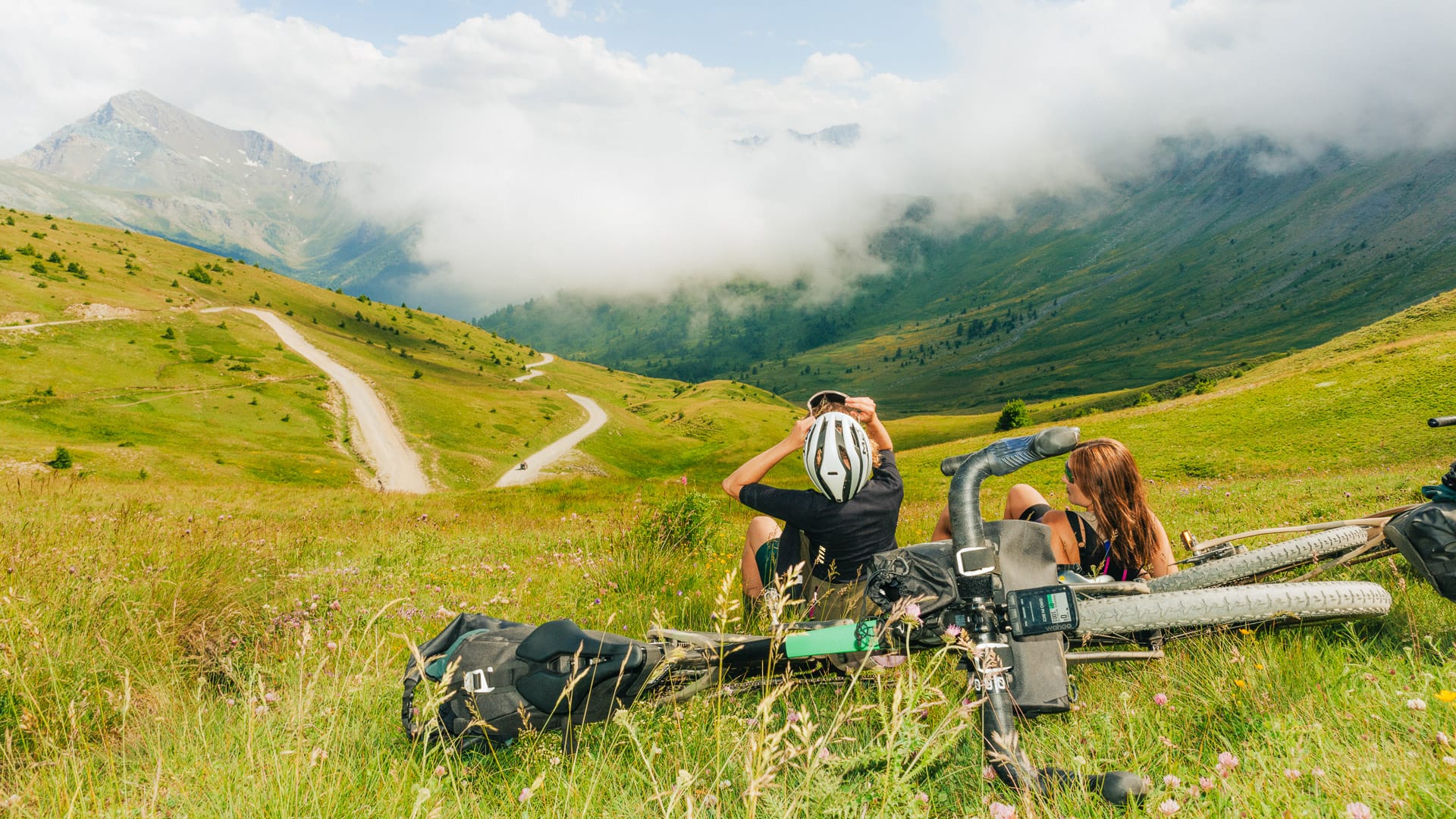
There is also good gravel and mountain biking terrain. Riders can find dirt roads, old military roads, trails through woods and meadows, and routes that pass hamlets, pastures and mountain refuges.
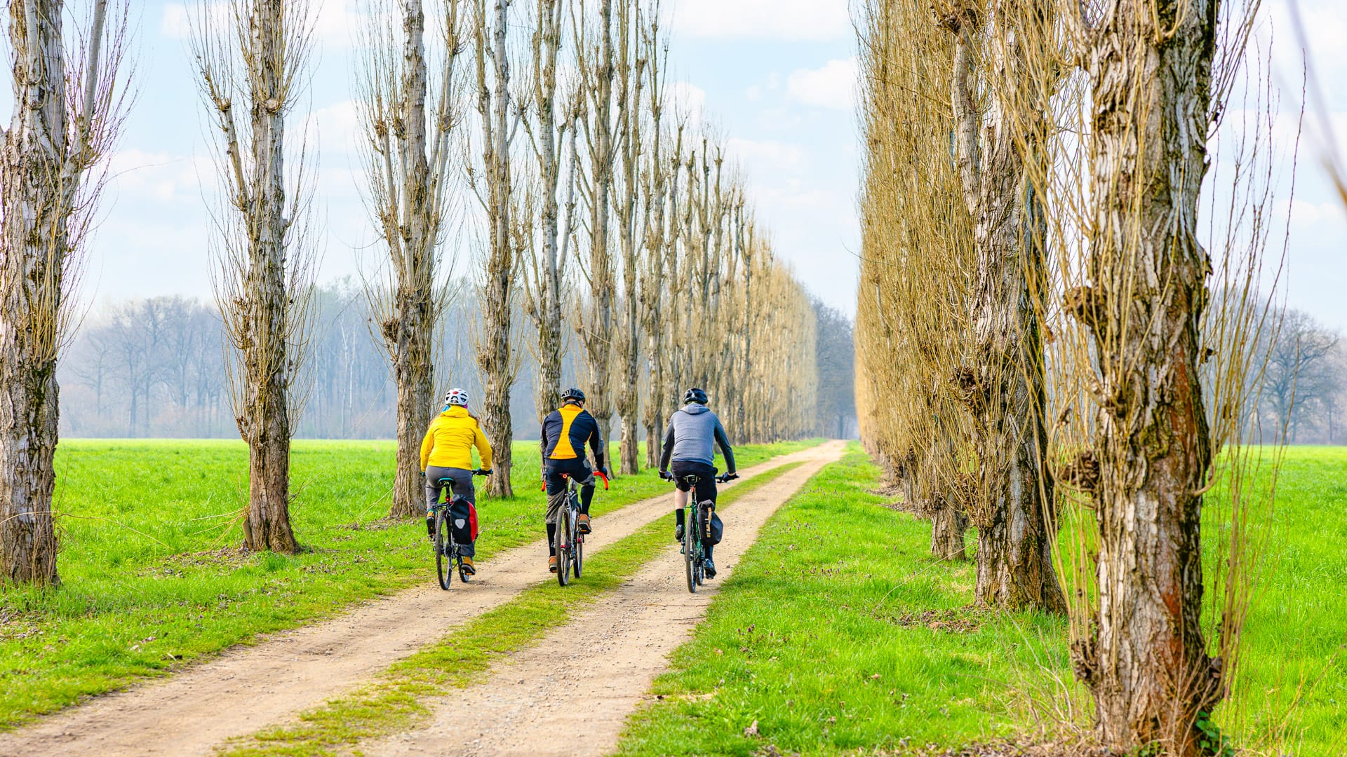
Parkland surrounding the Palazzina di Caccia di Stupinigi (photo credit: EMelchiori via Turismo Torino e Provincia)
What are the roads like for cycling?
The roads in the Turin region are generally good and varied. There are cycle paths, quiet rural roads, Alpine valley roads, mountain climbs and unpaved cycling routes for gravel riders.
In the plains and hills, cyclists can find many quieter roads with relatively little traffic. There are also routes along rivers and irrigation canals, as well as marked cycleways such as the Ciclovia del Po, Via Francigena, Ciclovia delle Risorgive and Ciclovia della Pietra.
The main road climbs are usually asphalted and suitable for road bikes. Gravel riders also have plenty of choice, especially on unpaved mountain roads and old military tracks.
Cyclists should take care on busier main roads, particularly close to Turin and larger towns. Italian driving can feel assertive, but respect for cyclists is now becoming widespread in the region.
Stone-paved road in Bricherasio in the Val Pellice area (photo credit: GGulmini via Turismo Torino e Provincia)
What kind of cyclist is the Turin region best for?
There are options for everyone!
- Road cyclists can ride famous climbs used by the Giro d’Italia, Tour de France and Vuelta a España. These include Colle delle Finestre, Colle del Nivolet, Colle del Moncenisio, Colle del Sestriere and Superga.
- Gravel riders and mountain bikers will find trails, mule tracks, dirt roads and military roads through the Alps. The Susa Valley, Bardonecchia and Via Lattea areas are particularly strong for this kind of riding.
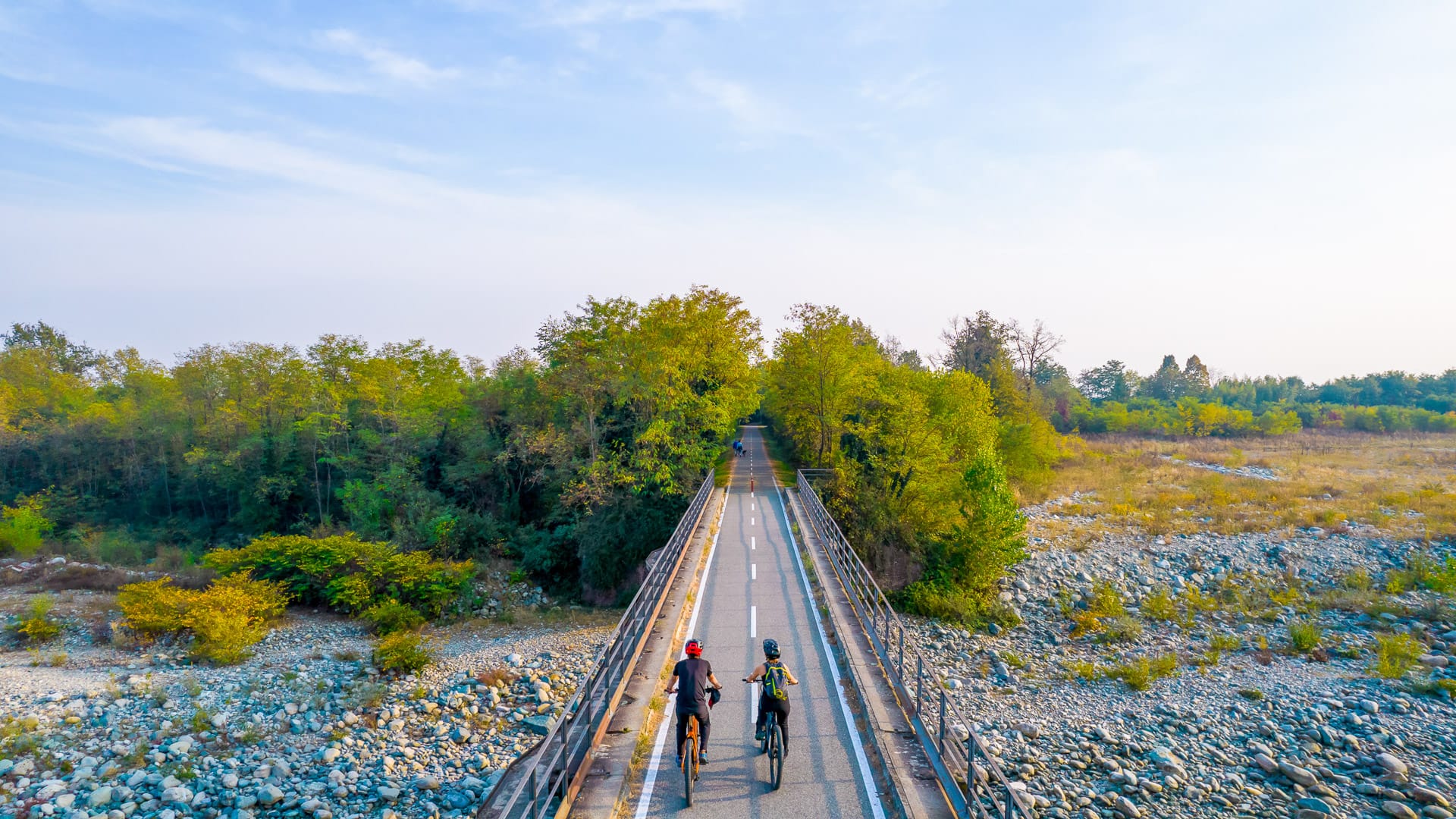
- Leisure cyclists can enjoy easier routes on the plains, along cycle paths and through valley floors. There are also family-friendly options in flatter areas and on shorter mountain trails. Suitable routes for leisure cyclists include the Ciclovia del Po, Via Francigena, Ciclovia delle Risorgive and Ciclovia della Pietra.
The region can suit many fitness levels, but the famous Alpine climbs require good fitness and mountain experience.
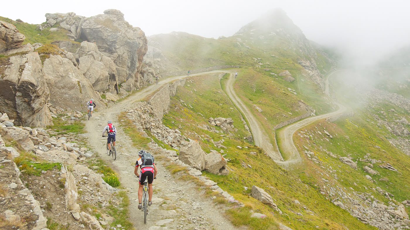
Piemonte Super Giro in Usseaux (photo credit: KFengler via Turismo Torino e Provincia)
2.3 What are the best places for cyclists to base themselves in the Turin region of Piedmont?
There are several cycling bases that work well in the region. Each area offers a different kind of riding. This means cyclists can either stay in one place and focus on nearby routes or move between bases to experience more of the region.
- Turin is the best base for riders who want city accommodation, good transport links and easy access to the River Po and Superga.
- Susa, Bardonecchia and Sestriere are better for Alpine climbs, gravel routes and mountain biking such as Colle della Scala and Colle del Sestriere.
- Pinerolo works well for mixed terrain, cycling history and easier routes, giving access towards the Ciclovia della Pietra and Ciclovia delle Risorgive.
More on each below!
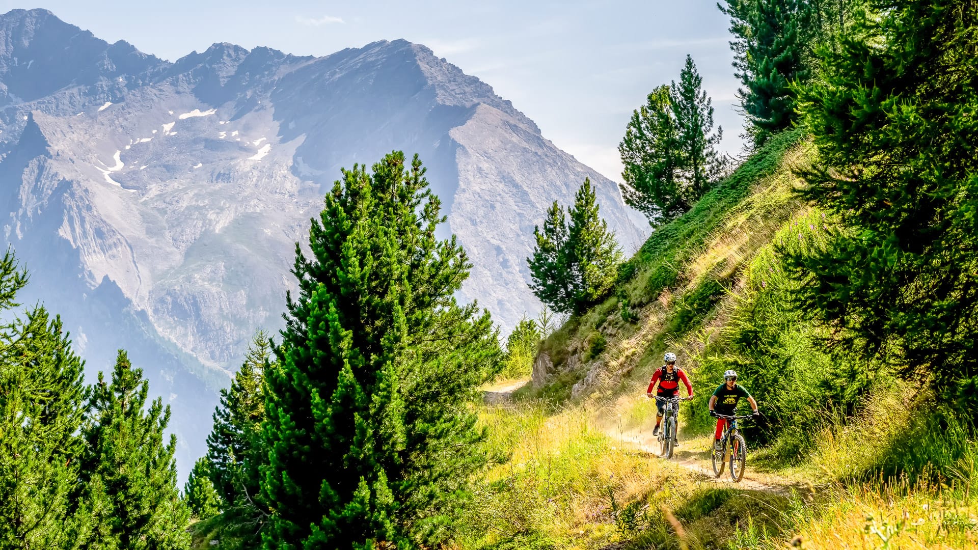
Riding through the mountain landscape around Sestriere (photo credit: GPorracchia via Turismo Torino e Provincia)
Turin
Turin is the best base for riders who want city culture, easy transport links and a choice of gentler rides close to the centre.
The city sits beside the River Po, so cyclists can enjoy flatter routes such as the Ciclovia del Po. East of the city, the roads rise into the Turin hills, where the climb to Superga is a classic local ride.
From a tourism perspective, Turin offers historic cafés, museums, royal residences and elegant streets.
Suggested route: Ciclovia del Po
Key statistics
34.9 kilometres
11 metres of elevation gain
What it’s like
This cycle route follows the banks of Italy’s longest river, taking riders past historical and artistic landmarks along the way. The section starts at Parco delle Vallere in Moncalieri, just south of Turin, and finishes in Chivasso. Along the route, cyclists pass through the city of Turin, with the river offering a different perspective on the city and its surroundings.
Suggested route: Salita di Superga
Key statistics
4.9 kilometres
445 metres of elevation gain
What it’s like
This iconic climb is best known as the finish of the Milan–Turin race each year. The climb is relatively steady overall, although gradients reach 12% at the beginning and near the summit, with a flatter section in the middle offering some relief. At the top, riders are rewarded with wide views over the city below.
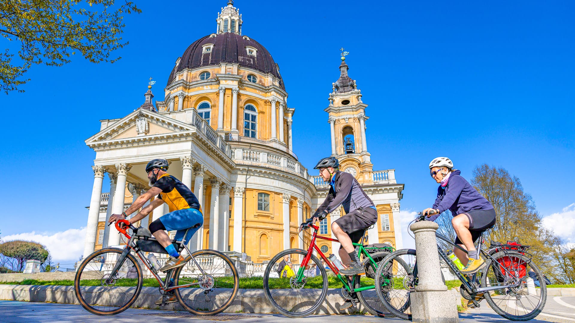
Cycling to Superga (photo credit: EMelchiori via Turismo Torino e Provincia)
Avigliana
Avigliana is a useful base for combining cultural sightseeing with varied riding. It’s a good base for riders who want access to the Susa Valley without straying too far from Turin.
The terrain around Avigliana includes lakes, valley roads and climbs towards the mountains. It gives access to a more demanding climb to Colle Braida or gentle riding on the Ciclovia Francigena.
From a tourism perspective, Avigliana is known for its lakes, historic centre and position close to the Sacra di San Michele.
Suggested route: Colle Braida
Key statistics
11.4 kilometres
718 metres of elevation gain
What it’s like
Colle Braida is a tough but scenic climb, with views towards Monte Pirchiriano and the historic Sacra di San Michele.
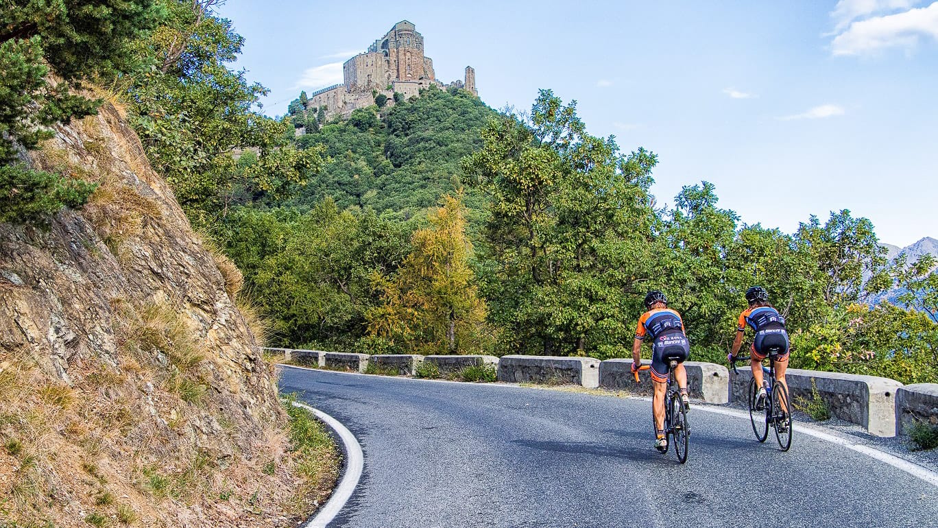
Colle Braida and Sacra di San Michele (photo credit: CMTO via Turismo Torino e Provincia)
Suggested route: Ciclovia Francigena
Key statistics
40.3 kilometres
159 metres of elevation gain
What it’s like
The Ciclovia Francigena follows an ancient pilgrimage route through villages and countryside, tracing a road used by travellers since Roman times.
Susa
Susa is one of the best bases for serious road cyclists in the Turin region.
The town sits in the Susa Valley, close to two of the area’s most famous climbs: Colle delle Finestre and Colle del Moncenisio. These are big mountain rides with strong links to professional cycling. Colle delle Finestre is especially famous for its steep gradients and unpaved upper section, while Colle del Moncenisio offers a memorable bike ride towards the French border.
Susa has Roman archaeological sites and is close to landmarks such as the Sacra di San Michele and the Fort of Exilles.
Suggested route: Colle delle Finestre
Key statistics
205.1 kilometres
5,302 metres of elevation gain
What it’s like
A challenging 200 kilometre loop through the Upper Susa Valley, taking in five Cols, villages, valley roads, forests and mountain scenery.
You can also view the gravel loop route map here.
For more inspiration, read our route article on Val Susa Gravel Loop in Turin (coming soon!).
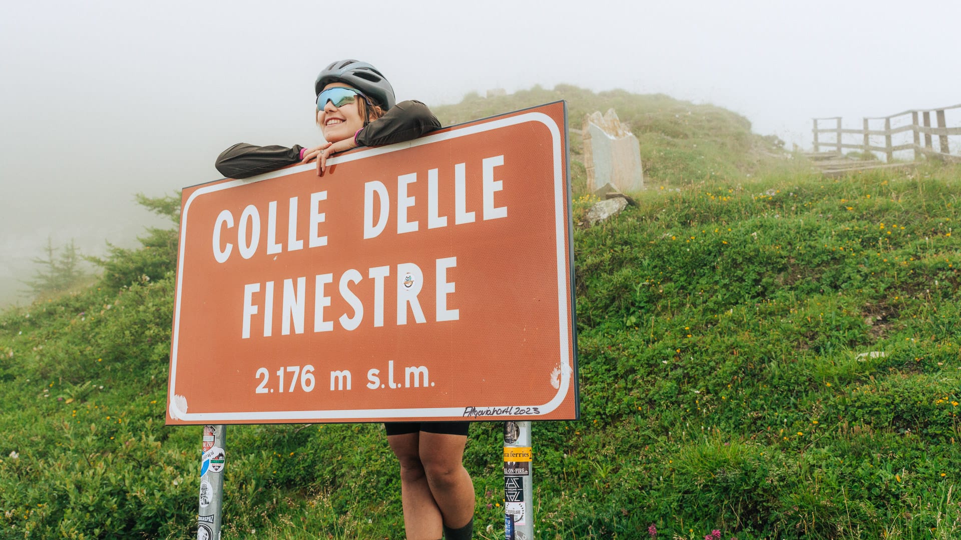
Cyclist at Colle delle Finestre sign (photo credit: F.Ravassard via Turismo Torino e Provincia)
Suggested route: Colle del Moncenisio
Key statistics
34.7 kilometres
1,823 metres of elevation gain
What it’s like
Great classic of the Susa Valley, climbing towards the Moncenisio pass along the ancient French road that crosses the Val Censichia and reaches the French border.
Bardonecchia
Bardonecchia is a strong base for gravel riders, mountain bikers and cyclists who want high-altitude routes.
The area gives access to Colle della Scala, Colle Sommellier and the Strada del Pramand. It is also well suited to MTB and gravel riding, thanks to its mountain tracks, old military roads and varied Alpine terrain.
From a tourism perspective, Bardonecchia is a mountain resort with outdoor activities and dramatic scenery close to the French border.
Suggested route: Colle della Scala
Key statistics
67.1 kilometres
1,239 metres of elevation gain
What it’s like
A loop through the Val Susa valley floor before tackling Colle delle Finestre and Colle del Sestriere, two Giro d’Italia climbs known for decisive mountain stages and attacks from riders including Chris Froome and Paolo Savoldelli.
You can also view the other available route maps below:
- BARDONECCHIA Red Spire Loop (MTB)
- BARDONECCHIA Colle della Scala – Névache – Laval (Road)
- BARDONECCHIA Colle della Scala – Col de Montgenèvre loop (Road)
- BARDONECCHIA – Loop Colle della Scala – Col de Montgenèvre – Colle del Sestriere (Road)
- BARDONECCHIA Loop Susa – Moncenisio Pass – Modane – Col du Galibier – Briançon – Colle della Scala (Road)
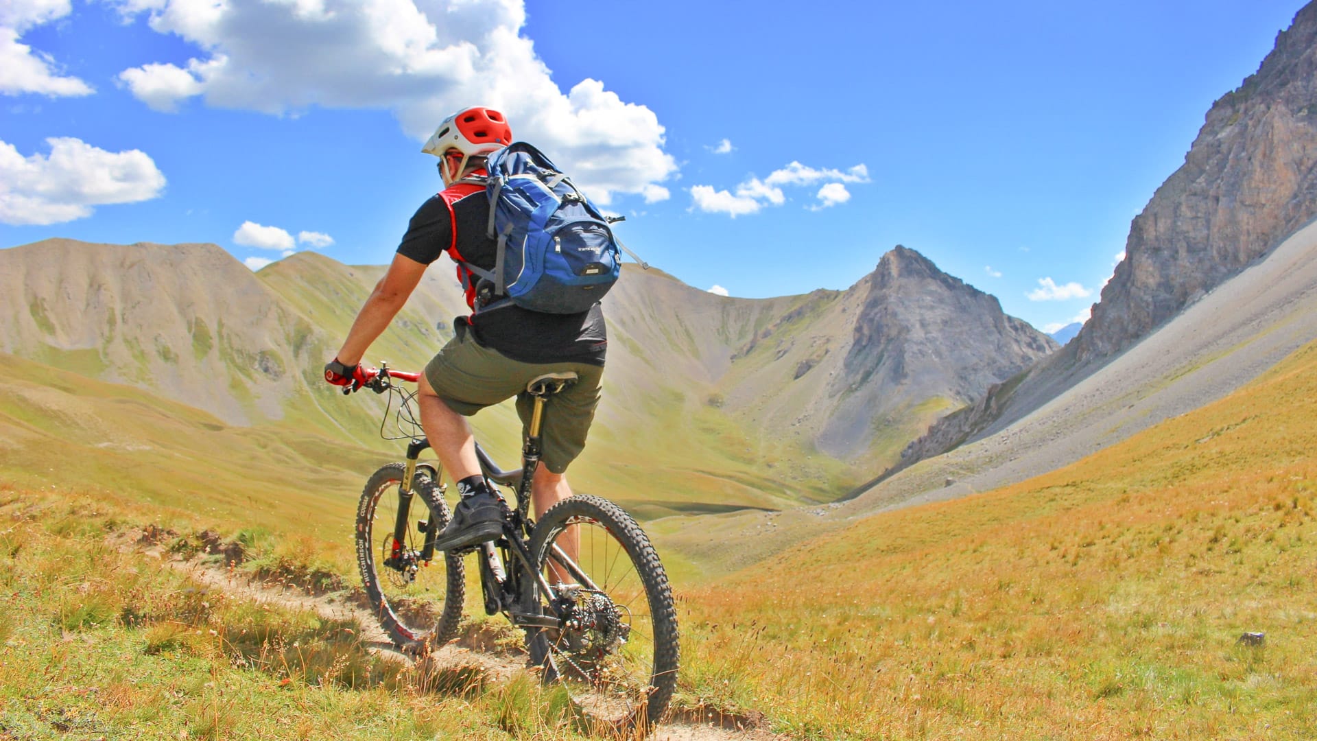
Cycling in Bardonecchia (photo credit: JSpatola via Turismo Torino e Provincia)
Suggested route: Colle Sommellier
Key statistics
25.4 kilometres
1,737 metres of elevation gain
What it’s like
Route that enters the Rochemolles Valley reaching the impressive Rochemolles Dam and finally the lunar landscapes at 3009 meters altitude of Colle del Sommeiller.
You can also view the other available route maps below:
- BARDONECCHIA Frejusia Basins – Decauville – Rochemolles Dam (Gravel)
- BARDONECCHIA Colle Sommeiller (Gravel)
Suggested route: Strada del Pramand
Key statistics
14.9 kilometres
649 metres of elevation gain
What it’s like
Jafferau is one of Bardonecchia’s toughest climbs, with eight kilometres at around 9% and ramps up to 14%. It has featured several times in the Giro d’Italia, including Eddy Merckx’s stage win in 1972 and Chris Froome’s famous solo victory in 2018.
You can also view the other available route maps below:
- BARDONECCHIA Forte Foens – Galleria dei Saraceni – Forte Pramand (Gravel)
- BARDONECCHIA Forte Foens (Gravel)
- BARDONECCHIA Forte Jafferau Loop (MTB)
- BARDONECCHIA Forte Foens – Galleria dei Saraceni – Forte Pramand (MTB)
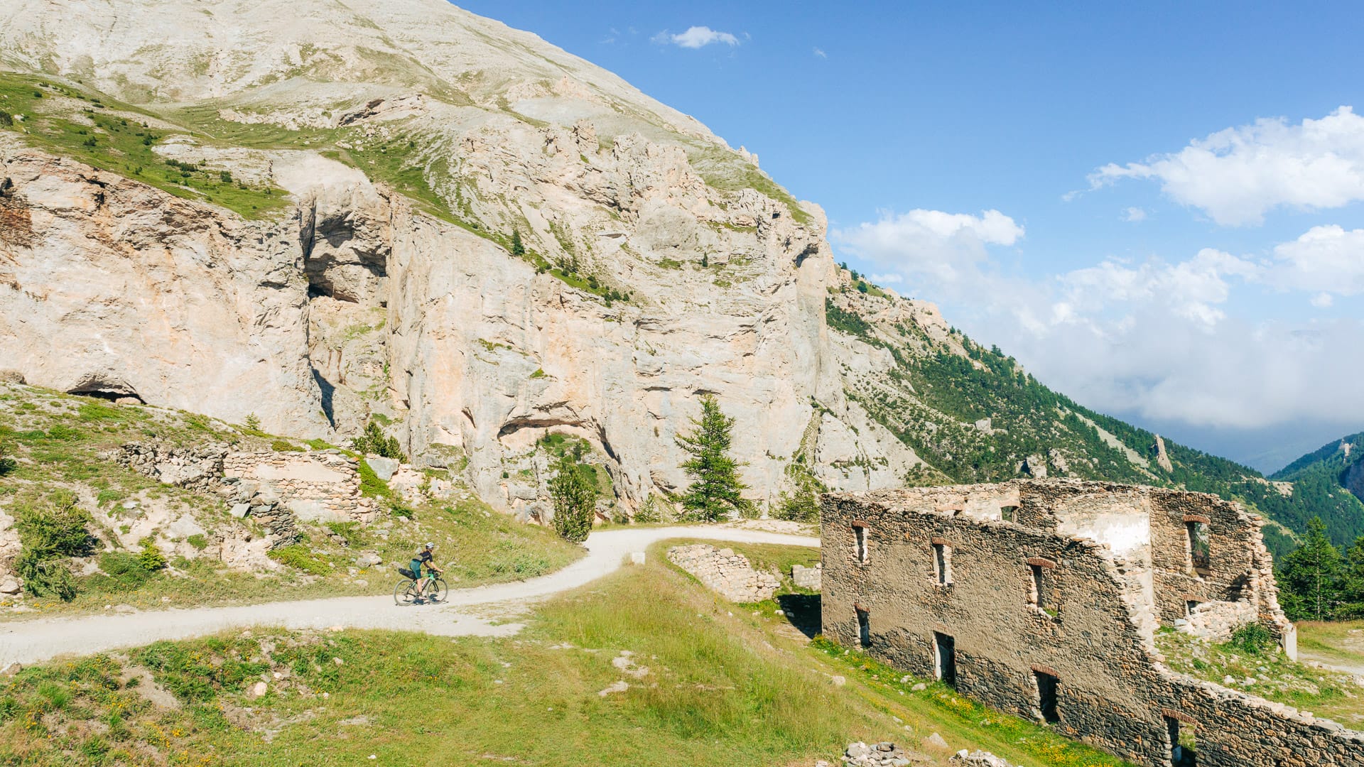
Cycling Strada del Pramand (photo credit: F.Ravassard via Turismo Torino e Provincia)
Sestriere
Sestriere is one of the classic Alpine cycling bases in the Turin region. Riders can tackle famous climbs, enjoy wide mountain views and explore gravel or MTB routes from a high-altitude base.
It is well placed for Colle del Sestriere and Colle del Monginevro, as well as MTB and gravel routes in the surrounding mountains. The riding here is best suited to cyclists who enjoy long climbs and high-altitude terrain.
Sestriere also has strong links with the Giro d’Italia and Tour de France.
Suggested route: Colle del Sestriere
Key statistics
115.8 kilometres
2,615 metres of elevation gain
What it’s like
A loop through the Val Susa valley floor before tackling Colle delle Finestre and Colle del Sestriere, two Giro d’Italia climbs known for decisive mountain stages and attacks from riders including Chris Froome and Paolo Savoldelli.
You can also view the other available route maps below:
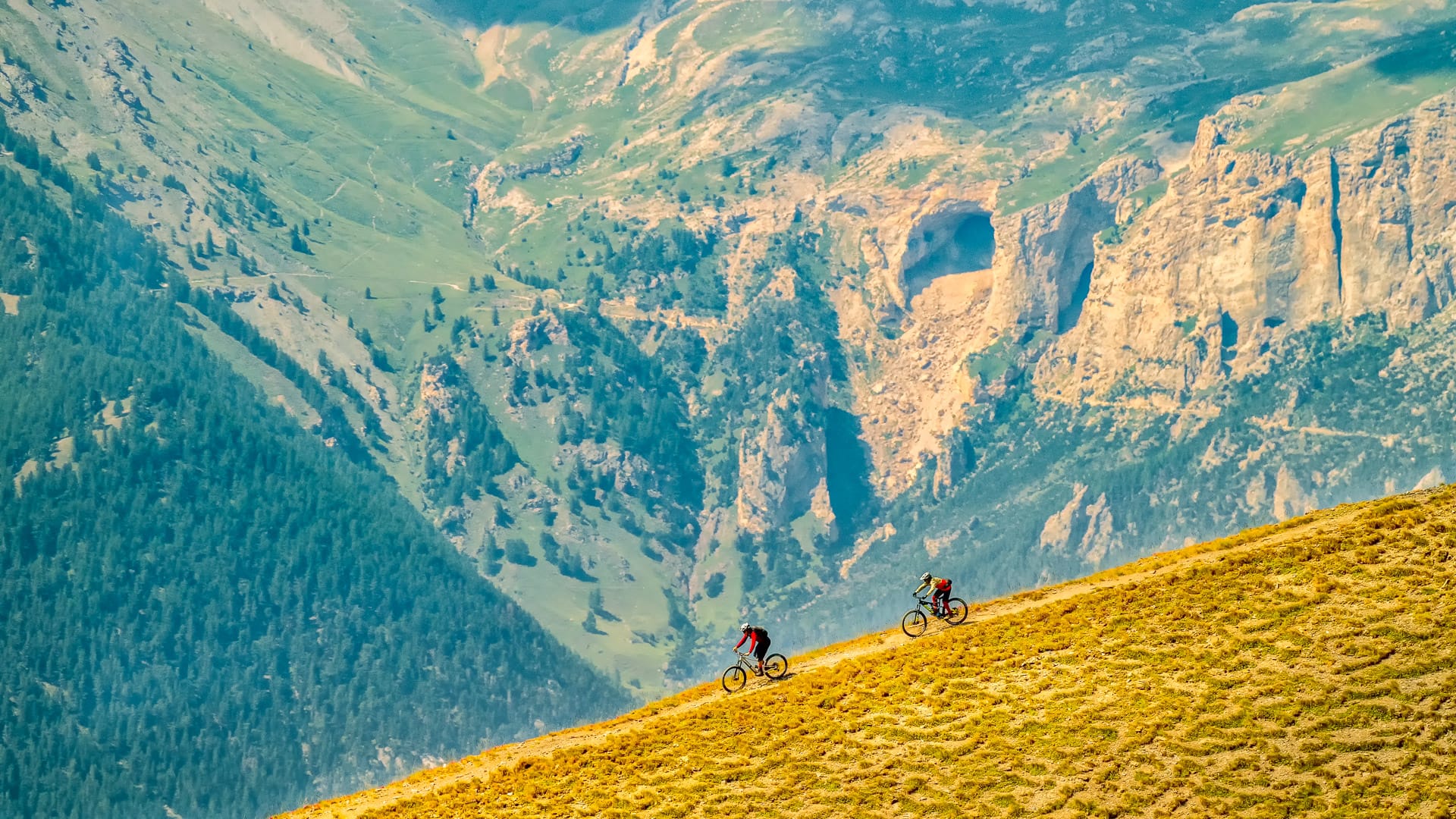
Cyclists riding down from Sestriere (photo credit: GPorracchia via Turismo Torino e Provincia)
Pinerolo
Pinerolo is a flexible cycling base. It offers access to historic race routes, foothills, gravel riding and easier cycleways, making it useful for mixed-ability groups.
The town gives access towards to the Ciclovia della Pietra and Ciclovia delle Risorgive. The surrounding area also offers MTB and gravel options.
Pinerolo has strong links with professional cycling and is associated with both the Giro d’Italia and Tour de France.
Suggested routes: Ciclovia della Pietra
Key statistics
11.5 kilometres
16 metres of elevation gain
What it’s like
Set in green countryside and built on the route of a former railway line that had been disused for several decades, the Via della Pietra runs from the municipality of Bricherasio to the municipality of Barge and will soon extend to Saluzzo. The Bricherasio to Barge section is around 11 kilometres long and is suitable for all types of riders, making it a good option for families and leisure cyclists.
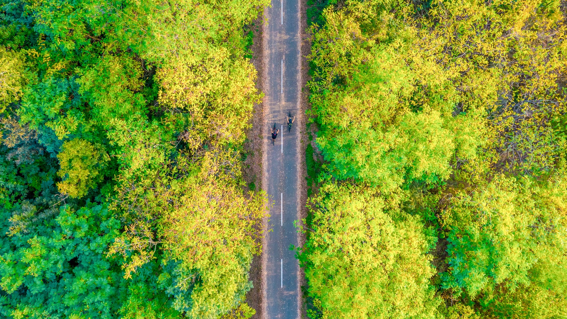
Riding along Via della Pietra (photo credit: GGulmini via Turismo Torino e Provincia)
Suggested route: Ciclovia delle Risorgive
Key statistics
19.6 kilometres
8 metres of elevation gain
What it’s like
The Via delle Risorgive, also known as the Airasca-Moretta cycle path (La ciclàbil ĕd la Ferovìa o dle Risorgive in Piedmontese), connects Airasca to Moretta, passing through the municipalities of Scalenghe, Cercenasco, Vigone and Villafranca Piemonte. It was officially inaugurated on 18 November 2017. Today, the path is 19.2 kilometres long, completely flat and has comfortable rest areas in each municipality. Given the many springs in the areas it passes through, the route has been known as the Via delle Risorgive since 2014. It is part of the EuroVelo 8 route and connects to various cycle tourism routes in the Turin metropolitan cycle network and the Piedmont region.
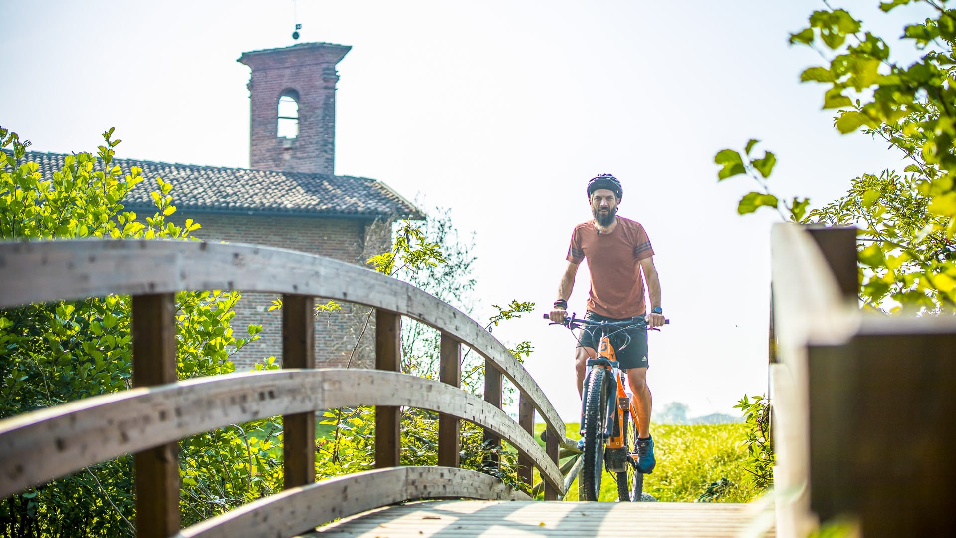
Cycling route along Via delle Risorgive (photo credit: GGulmini via Turismo Torino e Provincia)
2.4 Things to know before visiting the Turin region
What are the key cycling events in the Turin region?
Professional cycling has deep roots in the Turin region because its roads link the city, valleys and high Alpine passes in a way that suits dramatic race stages.
The Giro d’Italia, Tour de France and Vuelta a España have all used these roads, while historic races such as Milan-Turin and Giro del Piemonte add to the area’s cycling identity.
There are also several events for amateur riders, including gravel, MTB and climbing-focused events. These include Granfondo Sestriere, Assietta Legend, Pellegrina Bike Marathon, Nova Eroica Ivrea, Tutti a Pinerolo Gravel Event and the Grandi Scalate del Pinerolese.
For visiting cyclists, the appeal is clear. You can ride the same climbs and valleys that have shaped major races, including Colle delle Finestre, Colle del Moncenisio, Colle del Sestriere and Superga.
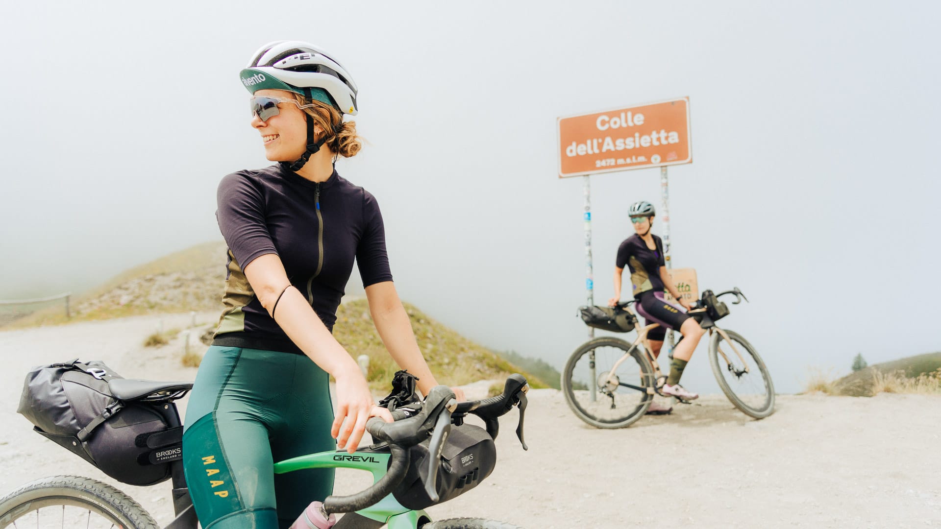
Cyclists at the Strada dell’Assietta signage (photo credit: F.Ravassard via Turismo Torino e Provincia)
Where should cyclists stay in the Turin region?
The Turin region has a strong choice of cyclist-friendly accommodation. This is not just hotels. Riders can also find B&Bs, agriturismos (farm-based accommodation), campsites and lodges set up for cycling trips.
A useful place to start is the Valsusa and Via Lattea Bike Experience. This network brings together accommodation offering services like secure bike storage, basic workshop facilities, pumps, repair kits, laundry services and electric bike charging. Cyclists may also be able to arrange early breakfasts, packed lunches and local route insights.
Some accommodation goes further, with welcome snacks, cycling information, weather updates, public transport details and help connecting riders with hire shops, mechanics, guides and other local services.
Top tip! Book in advance, especially at weekends and during high season.
Can you find bike hire and bike rental shops in the Turin region?
Yes. Bike hire is available in the Turin region, especially in Turin and the better-equipped mountain resorts.
Mountain bikes and touring bikes are generally easier to find. Road bikes and gravel bikes may be less widely available, so it is best to arrange these in advance.
Bike hire, repair shops and cycling services can be found throughout the area. The Valsusa and Via Lattea Bike Experience network is also useful for finding cycling-focused services.
For more information on bike rental, visit the Turismo Torino e Provincia website.
Top tip! If you need a specific bike type, size or gearing for the Alpine climbs, book before you travel.
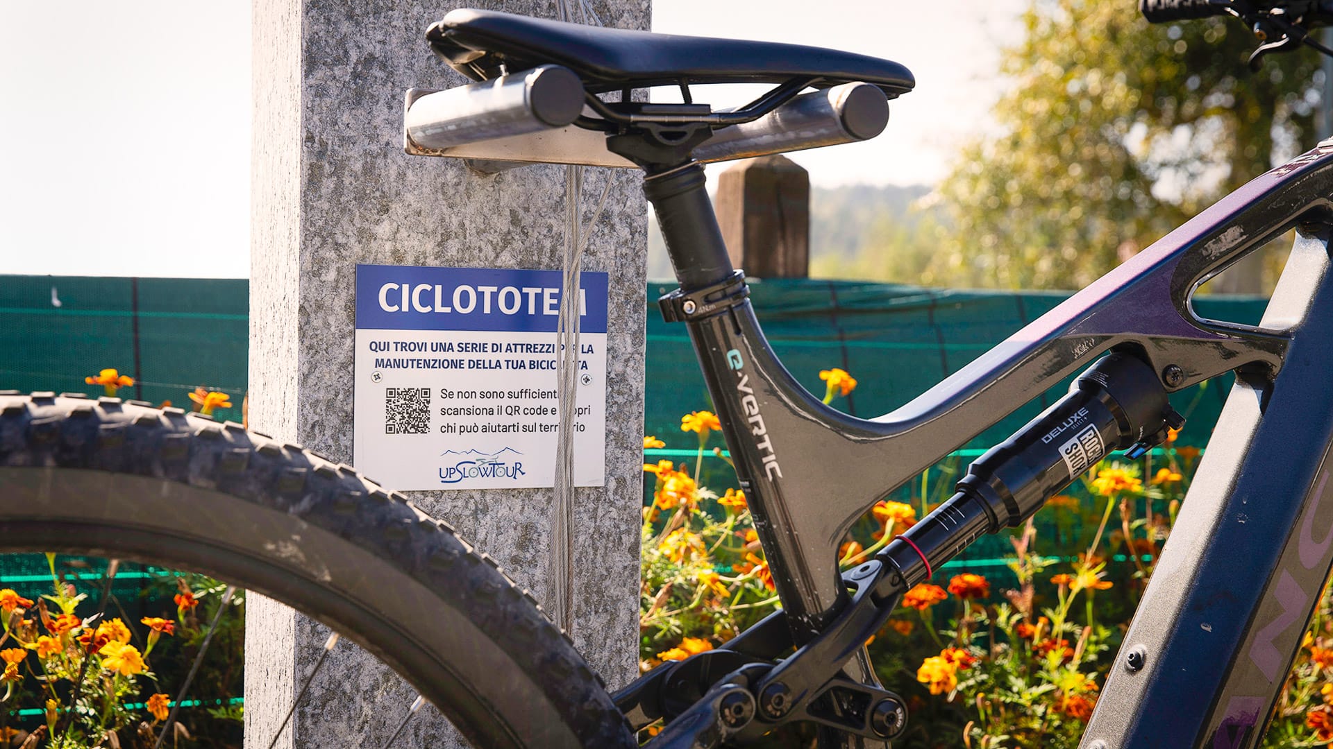
Bicycle in Val Pellice (photo credit: PCiaberta via Turismo Torino e Provincia)
Part 3: Cuneo
3.1 Why should cyclists visit the Cuneo region of Piedmont?
High mountains, quiet roads and famous climbs
The Cuneo region is one of Piedmont’s best areas for cyclists who want big mountain riding without losing the sense of being somewhere local and authentic.
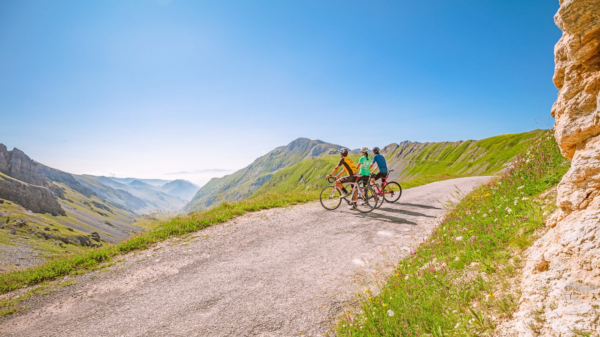
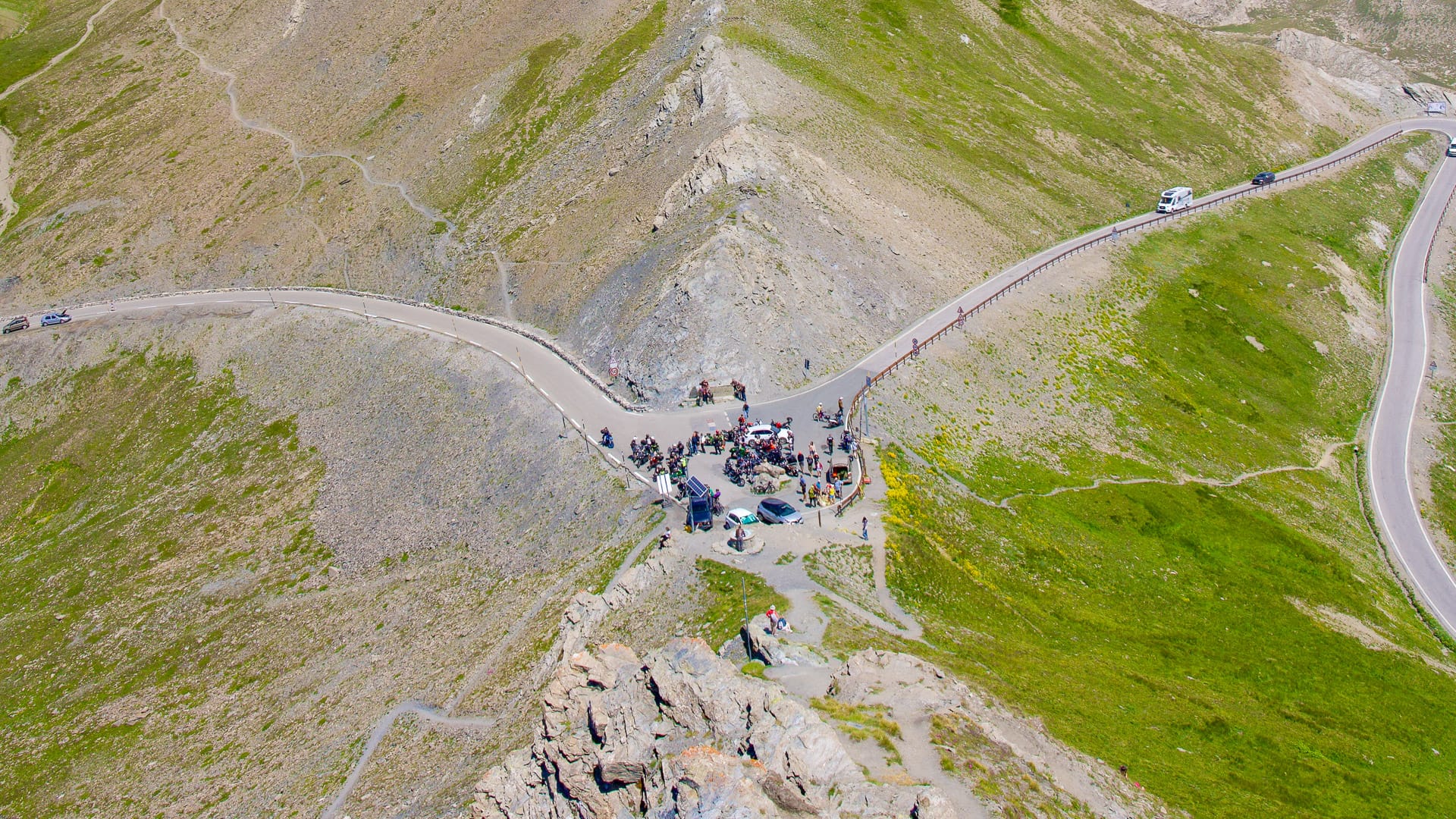
This is where riders come for Colle Fauniera, Colle dell’Agnello and the road to Sant’Anna di Vinadio. These are serious climbs, with long gradients, high altitude and strong links to Italian cycling history.
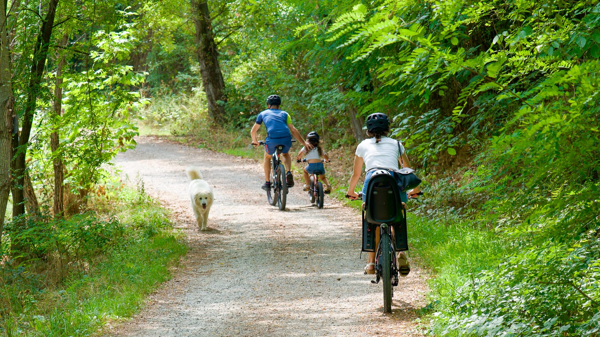
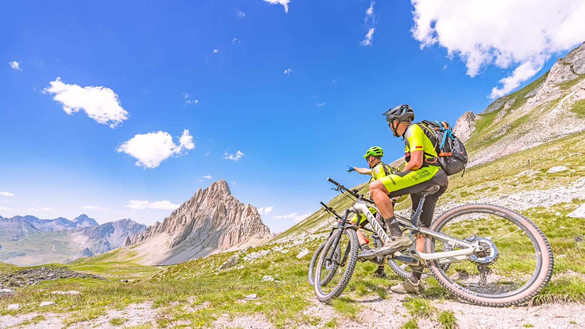
But Cuneo is not only about road cycling. The area also has high-altitude gravel routes, old military roads, riverside cycle paths, quiet rural lanes and easier rides through parks and historic towns.
This makes the region a good choice for cyclists who want to mix challenging mountain days with gentler rides and time off the bike. For more route ideas, see the ATL del Cuneese’s itinerary search page.
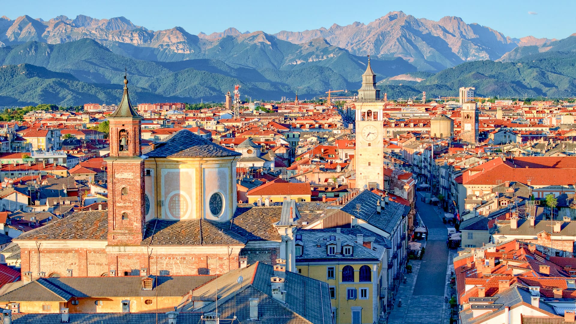
From Cuneo into the valleys
Cuneo works well as a cycling base because several valleys spread out from the city towards the mountains.
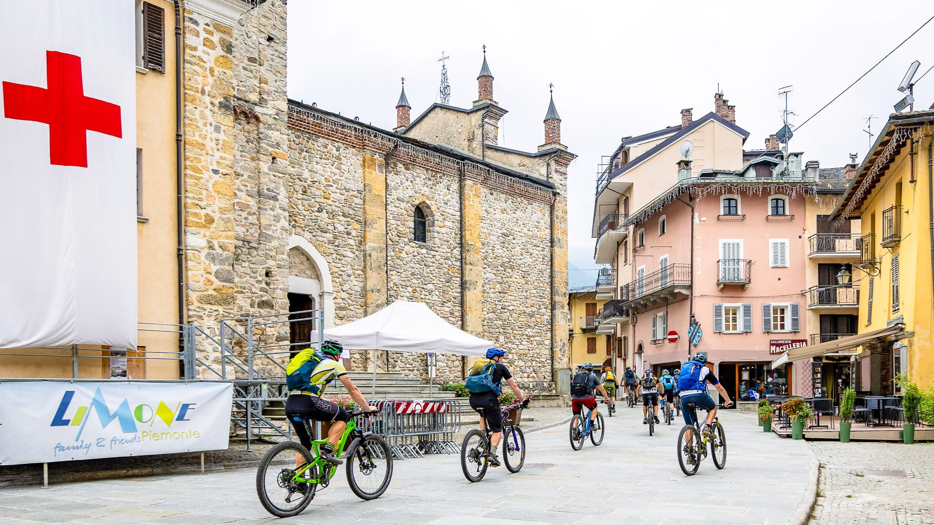
Each valley has its own character. Valle Grana is closely linked with Colle Fauniera and Castelmagno. Valle Maira and Valle Stura are known for mountain roads, gravel routes and wilder scenery. Limone Piemonte is the main hub for the Alta Via del Sale.
Further north, Saluzzo gives access to the Monviso valleys and climbs such as Colle dell’Agnello and Colle di Sampeyre. Around Mondovì, the riding is more rolling, with hills, vineyards and villages.
This means cyclists can choose the kind of riding they want, rather than being tied to one style of route.
Legendary climbs and cycling events
The Cuneo region has a deep connection with Italian cycling.
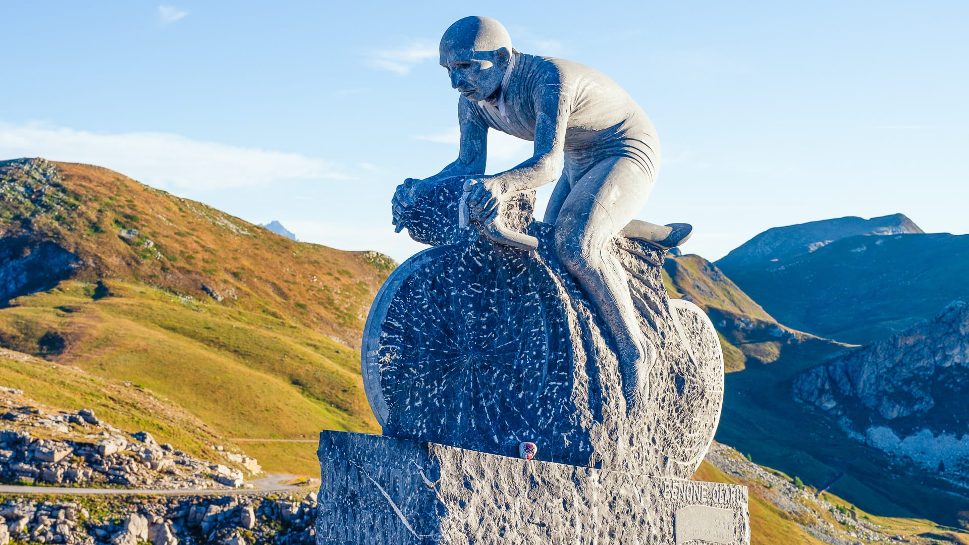
Its roads have hosted memorable moments in the Giro d’Italia. Colle Fauniera is closely linked with Marco Pantani and still one of the region’s most symbolic climbs for fans of Italian cycling.
Many of its climbs are also part of the Scalate Leggendarie initiative, which draws road cyclists to the area each summer. With selected Alpine passes closed to motor traffic on specific dates, so cyclists can ride them in safety.
Colle Fauniera is one of the standout climbs because of its length, altitude and links to Marco Pantani, who attacked here during the 1999 Giro d’Italia. A memorial to Marco Pantani now stands near the summit. Colle dell’Agnello, Colle di Sampeyre, Colle d’Esischie and Madonna del Colletto also give road cyclists serious mountain challenges.
For gravel riders and mountain bikers, routes such as the Alta Via del Sale, Strada dei Cannoni and Gardetta Plateau offer high-altitude riding on historic roads.
The events calendar reinforces the region’s cycling reputation. Key events include La Fausto Coppi, GF Étape Piemonte by Tour de France, GF Alpi del Mare, the Via del Sale MTB Race and the Giro d’Italia Women Grand Final.
Cyclist-friendly services
Cyclists will find a growing network of services across the Cuneo region.
The Cuneo Bike Experience is a local cycling tourism network which brings together accommodation providers, bike hire services, workshops, guides and logistics operators. It is a useful starting point for planning a cycling trip.
The tourist office in Cuneo also has a bike room, which acts as a hub for cyclists. Services include bike rental, charging stations, technical support and logistical help.
Cyclists are a familiar sight across the Cuneo region, particularly in the valleys, mountain areas and around the main cycling events. Many local businesses are used to welcoming riders and understand practical needs such as secure storage, early starts and route information.
Food and culture
The Cuneo region also works well as a holiday destination beyond cycling.
Towns such as Cuneo, Mondovì, Fossano, Saluzzo and Savigliano offer historic centres, architecture, museums and local culture. The wider region also includes castles, royal residences and natural parks.
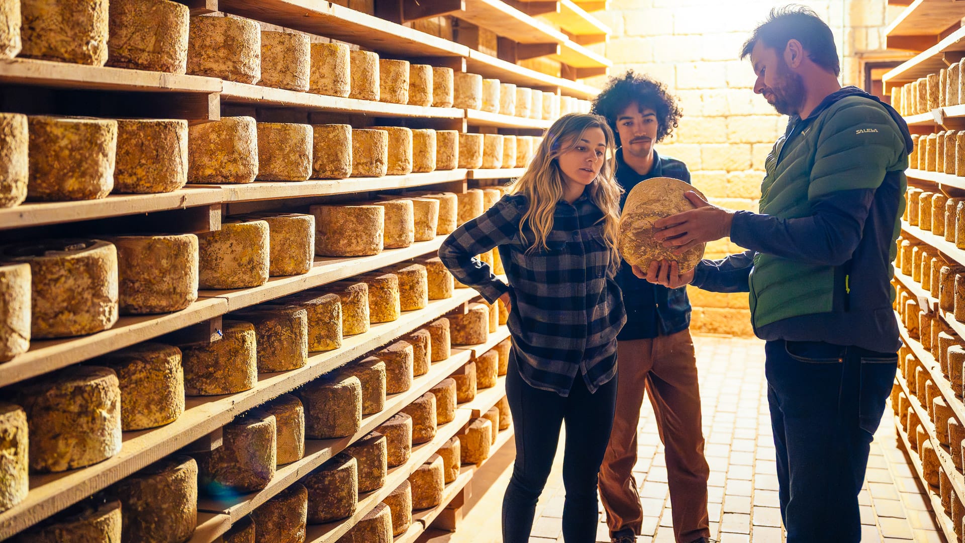
Food is another reason to visit. Local specialities include:
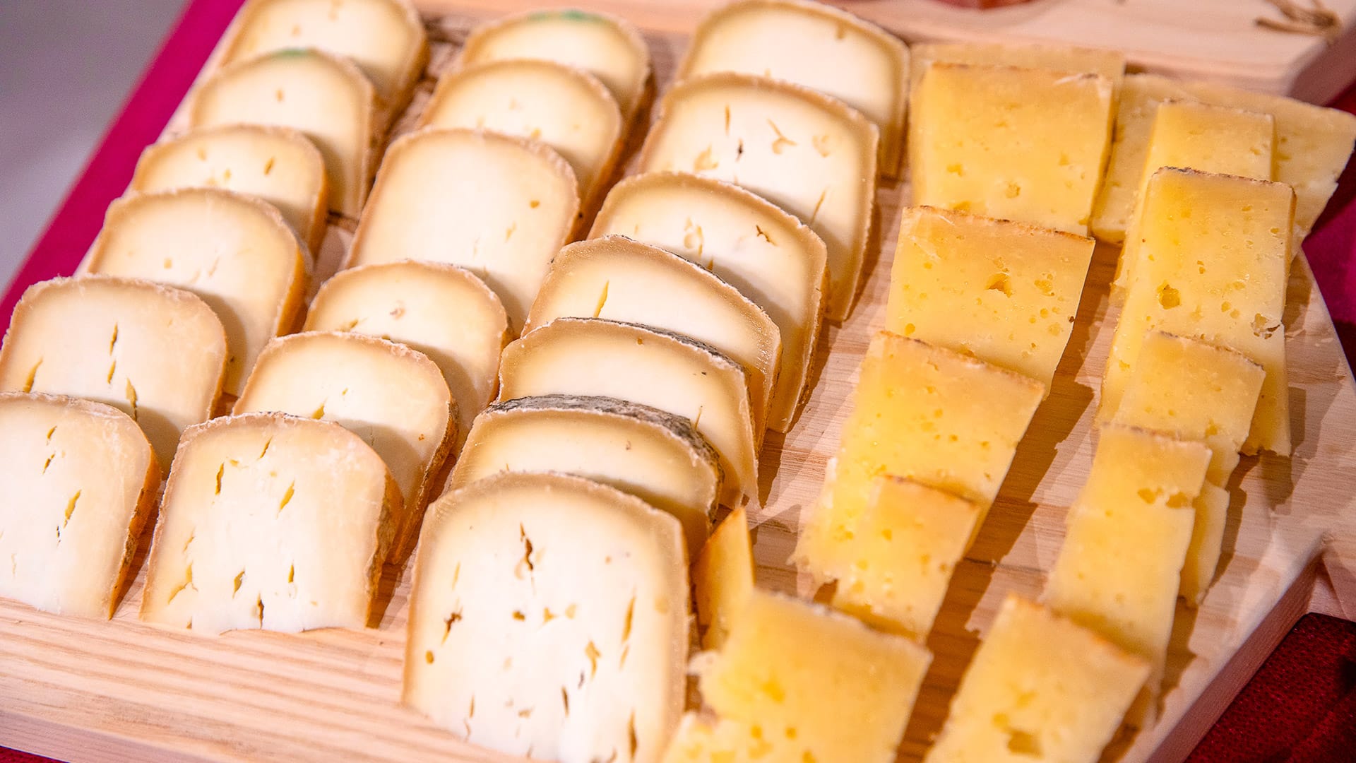
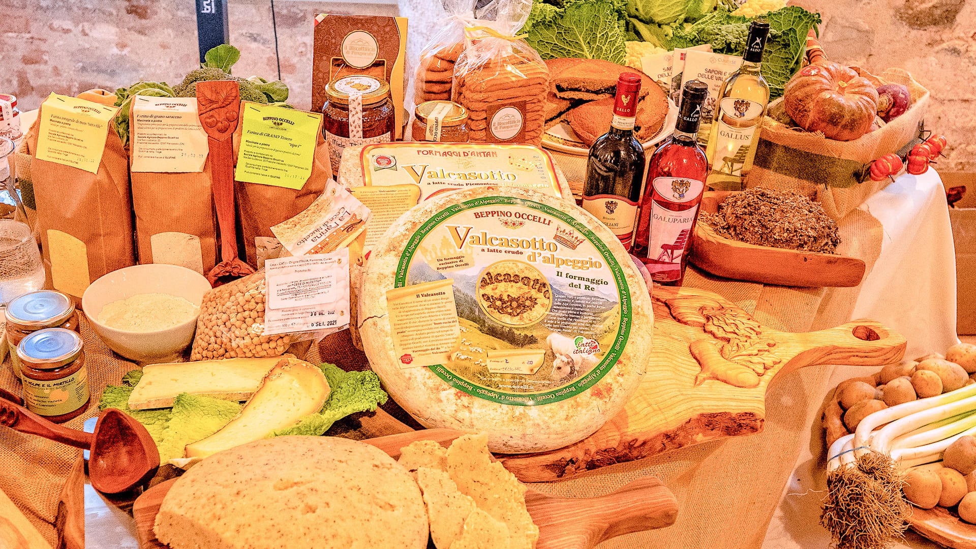
- Castelmagno DOP and Raschera DOP, two Piedmontese cheeses
- Porro di Cervere, a prized leek from Cervere
- Cuneo IGP apples, a protected red apple variety
- Piedmontese beef, one of the region’s best-known meats
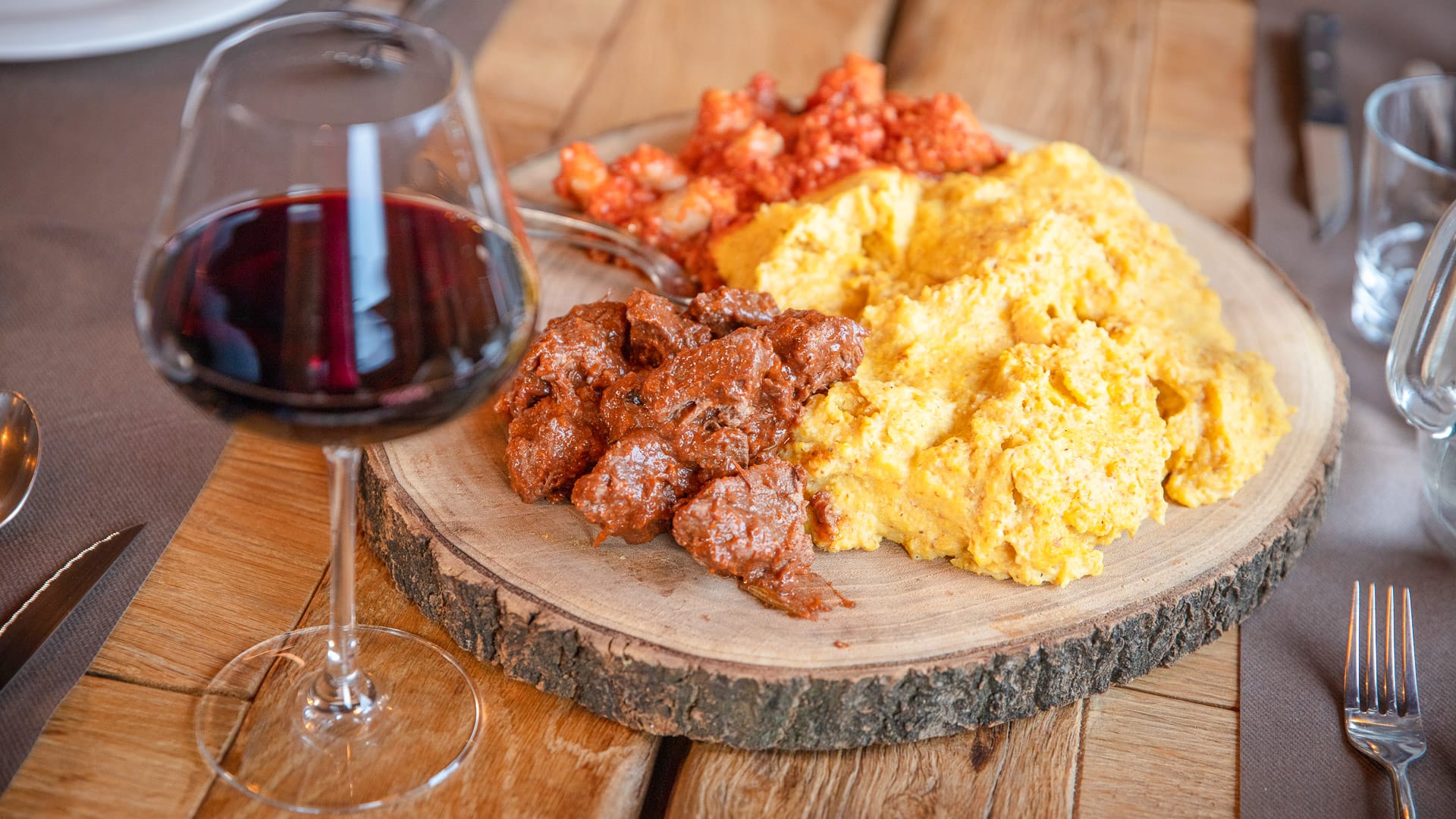
- Polenta, a traditional cornmeal dish
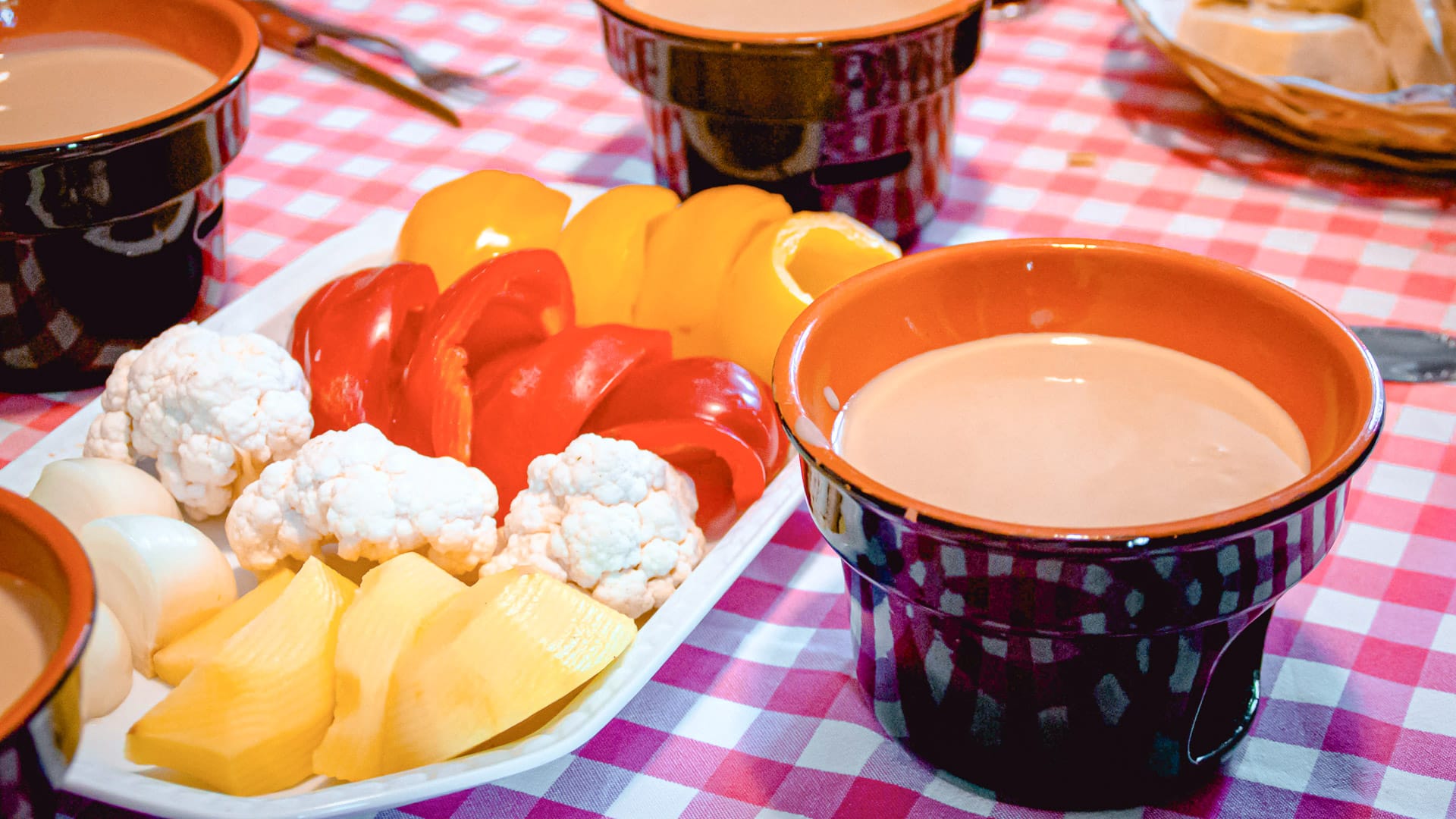
- Bagna caoda, a traditional warm dipping sauce
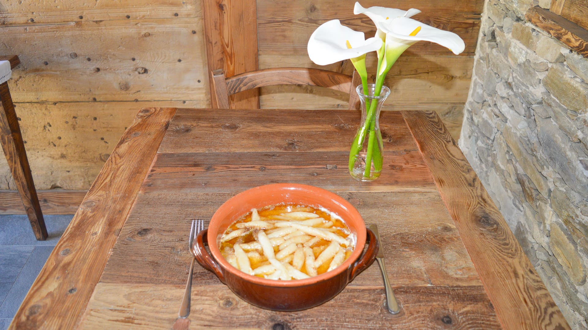
- Ravioles and cruzet, two types of traditional local pasta
The wider outdoor offer is also strong, with the Maritime Alps, Marguareis, Monviso and Gesso and Stura River Park all adding to the experience.
The atmosphere is authentic and welcoming. This is a region where local communities continue to have a close connection to the land, food and local culture.
3.2 An overview of the Cuneo region from a cyclist’s perspective
Where is the Cuneo region?
The Cuneo region sits in south-west Piedmont, close to the French border. It lies between the plains of Piedmont and the Maritime and Cottian Alps.
From a cycling perspective, its position is one of its biggest strengths. The city of Cuneo sits where several valleys meet, which makes it a useful base for reaching different riding areas.
The wider Cuneo area includes Alpine valleys, rolling hills, river parks and flatter plains. Key cycling bases include Cuneo, Mondovì, Saluzzo, Fossano, Savigliano and Limone Piemonte.
What is the terrain like?
The terrain in the Cuneo region changes quickly.
The city of Cuneo sits at the centre of the area, with the Maritime and Cottian Alps rising to the south and west. The valleys converge towards Cuneo, giving cyclists access to several different mountain areas from one region.
- The mountain areas are best for challenging road climbs, high-altitude gravel routes and mountain biking. This is where riders will find major passes, former military roads and rugged Alpine scenery.
- The Monregalese area, around Mondovì, is more rolling. It has hills, vineyards and historic villages, which makes it good for road cyclists, gravel and mtb riders and confident leisure cyclists.
- The plains around Cuneo, Fossano and Savigliano are flatter. Routes here often follow rivers, including those in the Gesso and Stura River Park, and are well suited to leisure cycling and families.
What are the roads like for cycling?
Road conditions in the Cuneo region are generally good for cycling.
The road network reflects the geography. There are high-altitude gravel roads, quiet valley roads, secondary rural lanes and busier roads in the plains.
The best riding is usually on secondary roads, marked routes and mountain roads with lighter traffic. Busy valley-floor roads and main roads in the plains are best avoided where possible.
Cyclists are generally well received. The region has a strong cycling tradition and motorists are used to seeing riders, especially on popular routes and in mountain areas.
Paved surfaces are usually good, particularly on main tourist routes and well-known climbs. Gravel roads and high-altitude tracks can be loose or uneven, so they are better suited to gravel bikes, MTBs or e-MTBs.
In the mountains, route planning is important. Cyclists should think about altitude, weather, water, navigation and timing before setting out.
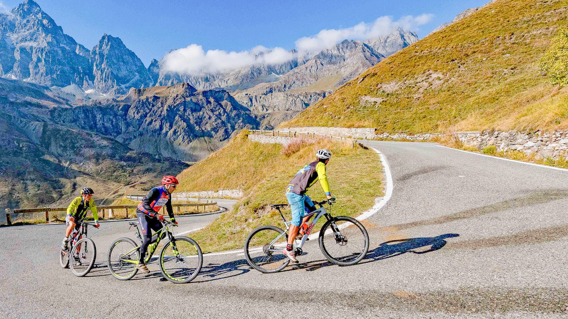
The climb towards Monviso from Po Valley (photo credit: R. Croci – ATL del Cuneese)
What kind of cyclist is the Cuneo region best for?
The Cuneo region suits many kinds of cyclists.
- Road cyclists can take on major Alpine climbs, including Colle Fauniera, Colle dell’Agnello, Colle di Sampeyre and Madonna del Colletto.
- Gravel riders and mountain bikers have access to high-altitude tracks, old military roads and routes such as the Alta Via del Sale, Strada dei Cannoni and Gardetta Plateau.
- Leisure cyclists can enjoy flatter routes around Cuneo, Fossano and Savigliano, as well as riverside rides through the Gesso and Stura River Park.
The region can suit different fitness levels, but route choice matters. The big Alpine climbs require strong fitness. High-altitude gravel routes need endurance and good handling skills.
E-bikes have made some of the more demanding routes more accessible, but the mountains still require careful planning.
Families are best suited to the flatter routes in the plains, river parks and low-traffic secondary roads.
To discover more routes and local insights, read our in-depth guide to gravel cycling in Piedmont, including Cuneo’s secret strade bianche.
3.3 What are the best places for cyclists to base themselves in the Cuneo region of Piedmont?
The Cuneo region works well across four main cycling areas. Each has a different feel, from high-altitude gravel roads to family-friendly river routes and famous Alpine climbs. Cyclists can stay in one base and focus on nearby routes, or move between areas to experience more of the region.
- Cuneo is the best base for riders who want access to several Alpine valleys, road climbs, bike services and easier routes close to town.
- Saluzzo is a good base for riding the Monviso climbs.
- Mondovì is a good base for riders who enjoy rolling roads, hill climbs and routes through the Monregalese villages.
- Limone Piemonte is best for high-altitude routes and riding the Alta Via del Sale.
More on each below!
Limone Piemonte and Valle Pesio
Limone Piemonte is one of the best bases for high-altitude gravel and MTB riding in the Cuneo region.
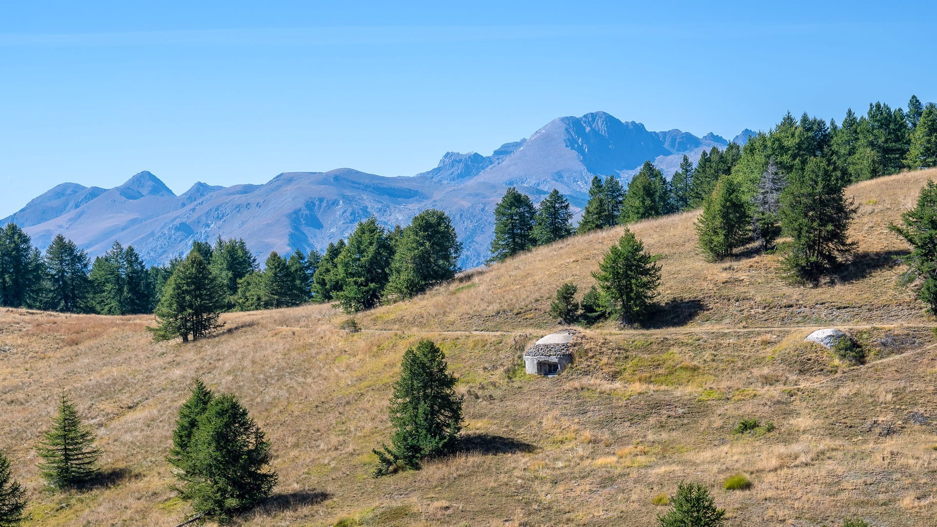
- It is the main hub for the Alta Via del Sale, one of the area’s most iconic mountain routes. This route sits on the border between Piedmont and Liguria and follows former military and trade roads between 1,800 and 2,200 metres.
- The terrain includes compact gravel, loose sections and some technical stretches. Difficulty is moderate to high, mainly due to altitude and distance rather than gradient. MTB or e-MTB is recommended.
- The ride also has a strong sense of history. Riders pass fortifications and engineered switchbacks that reflect the former strategic importance of these roads.
Valle Pesio adds another option through the Ciclovia del Duca. Starting in San Bartolomeo di Chiusa Pesio, it climbs through the Pesio Valley and Marguareis Park along a former military road. The route moves from wooded valley scenery into high-altitude limestone landscapes before linking with the Alta Via del Sale.
Suggested route: Alta Via del Sale
Key statistics
113 kilometres
2,400 metres of elevation gain
What it’s like
The Alta Via del Sale, or Upper Salt Road, is one of the best-known high-altitude cycling routes in the Italian Alps. It follows a historic network of former military and trading roads between Piedmont and Liguria, crossing alpine landscapes at elevations between 1,800 and 2,200 metres above sea level. The route is mainly unpaved and connects Limone Piemonte with Liguria, passing mountain fortifications, panoramic hairpin bends and ridgelines between the Maritime Alps and the Mediterranean. Today, it is considered an iconic destination for mountain bikes, e-bikes and gravel riding, thanks to its unique combination of nature, military history and high-mountain scenery.
More information
Visit ATL del Cuneese’s website and the Alta Via del Sale itinerary page for more details.
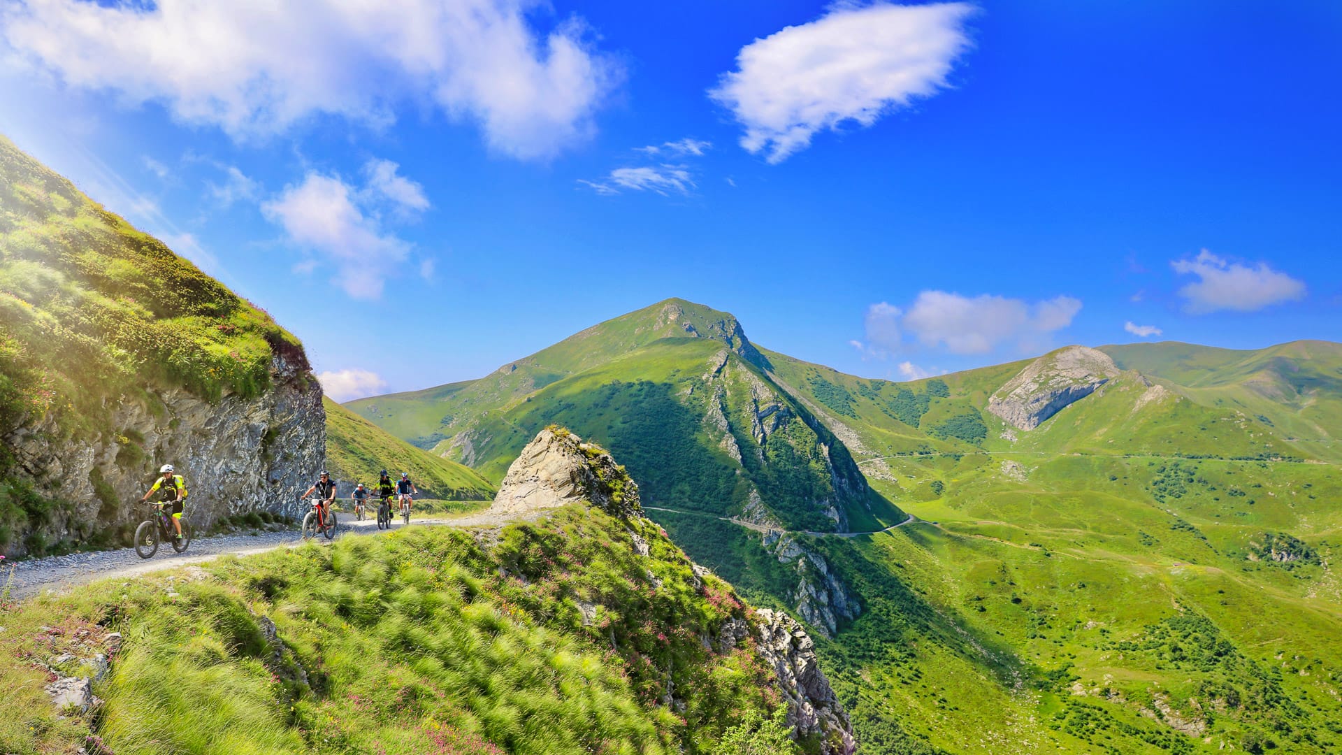
Upper Salt Road, panoramic view (photo credit: G. Mignone – ATL del Cuneese)
Suggested route: Ciclovia del Duca
Key statistics
Approximately 15 kilometres.
More than 2,000 metres of elevation gain.
What it’s like
The Ciclovia del Duca is a high-altitude mountain bike and e-bike route linking the Pesio Valley with the Alta Via del Sale through the Marguareis Natural Park. The itinerary follows the historic Military Road 194, climbing from the Certosa di Pesio area towards the Passo del Duca through forests, alpine valleys and panoramic mountain scenery. It is considered one of the most scenic ways to access the high-altitude routes of the south-western Alps, combining nature, history and adventure.
More information
Visit ATL del Cuneese’s page for more details on the Ciclovia del Duca.
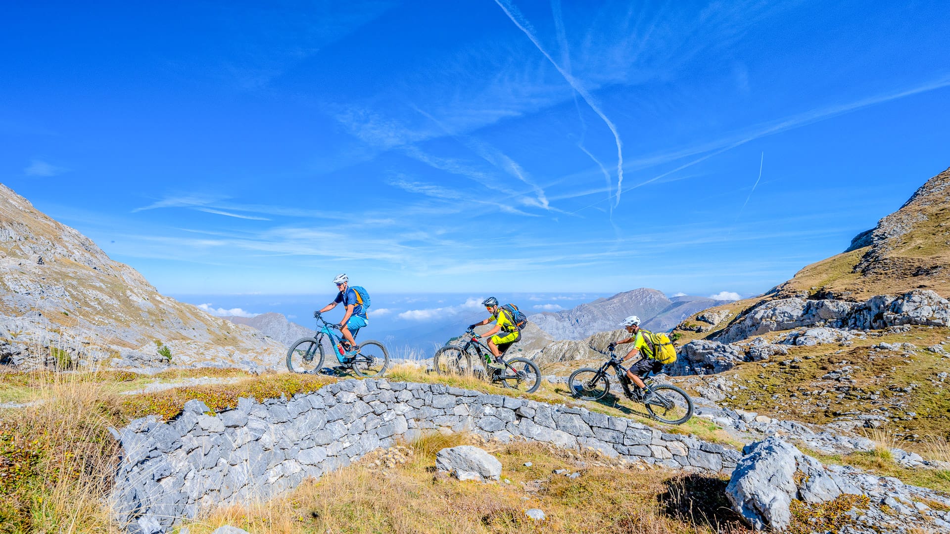
Ciclovia del Duca (photo credit: R. Croci – ATL del Cuneese)
Cuneo, Fossano and the Gesso and Stura River Park
Cuneo and Fossano are good bases for easier cycling, family rides and leisure routes.
The Gesso and Stura River Park extends around Cuneo and follows the two rivers towards the Fossano plain. It covers more than 5,000 hectares and includes around 70 kilometres of routes across 14 municipalities.
The terrain is mostly flat, with a mix of compact gravel and paved sections. This makes it suitable for city bikes, gravel bikes, e-bikes and MTBs.
There are no major climbs here. Instead, the appeal is easy cycling through river habitats, woodland, agricultural landscapes and open views towards the Alps.
Casa del Fiume, just outside Cuneo, is a useful starting point. It is the park’s main visitor and education centre and provides access to information, services and activities.
Cuneo and Fossano also add cultural interest. Cuneo has an elegant arcaded centre and Piazza Galimberti. Fossano is known for the Castello degli Acaja and its historic architecture.
Suggested route: Gesso and Stura River Park
Key statistics
27 kilometres
200 metres of levation gain:
What it’s like
The Anello del Parco Fluviale is a 27-kilometre circular route with very little elevation gain, making it one of the area’s best-known itineraries for families, leisure cyclists and riders looking for a more relaxed pace. The terrain alternates between compact gravel and paved sections, making it suitable for gravel bikes, mountain bikes and e-bikes. Along the way, cyclists pass through natural areas rich in biodiversity while enjoying wide views of the surrounding Alpine peaks, all within easy reach of the city centre.
More information
Visit the ATL del Cuneese’s website and ATL del Cuneese’s itinerary page for more details.
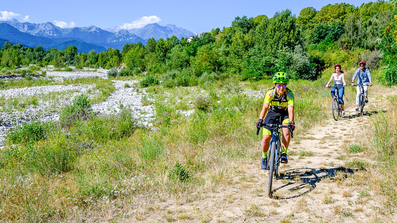
Gesso e Stura River park, cycling along the river (photo credit: R. Croci – ATL del Cuneese)
Cuneo, Colle Fauniera and the Gardetta Plateau
Cuneo is a practical base for experienced cyclists heading into the high mountains.
From here, riders can access Colle Fauniera and the Gardetta Plateau. These are two of the most iconic cycling experiences in the Cuneo mountains, but they offer very different kinds of riding.
Colle Fauniera is a classic paved climb with strong cycling history. Gardetta offers high-altitude gravel, wide open landscapes and old military roads.
Suggested route: Colle Fauniera
Key statistics
108 kilometres
2,600 metres of elevation gain
What’s it like
Colle Fauniera is a major road cycling challenge. It is fully asphalted and can be approached from several directions, with the best-known route starting in Valle Grana via Castelmagno.
The climb to Colle Fauniera is a long and demanding asphalt road ascent that develops through the Grana Valley before reaching 2,481 metres above sea level in the heart of the Cuneo Alps. The route alternates steady gradients, narrow mountain roads and long panoramic sections, passing through alpine villages and the Sanctuary of San Magno before entering a harsher high-altitude environment near the summit.
It is considered one of the classic road cycling climbs of the Italian Alps, appreciated for both its physical challenge and dramatic scenery.
More information
Visit ATL del Cuneese’s itinerary page for more details on Colle Fauniera.
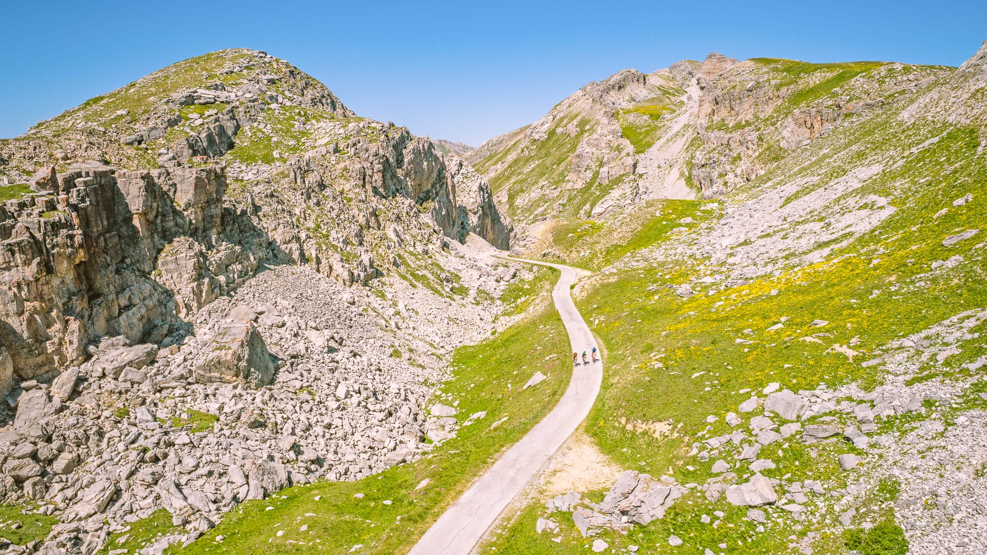
Climb up to Fauniera Pass (photo credit: G. Mignone – ATL del Cuneese)
Suggested route: Gardetta Plateau
Key statistics
13.5 kilometres each way, or 27 kilometres there and back
200 metres of elevation gain
What it’s like
The Gardetta Plateau is more suited to gravel riders and mountain bikers. It sits between Valle Maira, Valle Grana and Valle Stura, and can be reached via passes such as Colle del Preit or Colle di Valcavera.
The plateau unfolds at over 2,000 metres above sea level, where a network of former military roads and gravel tracks crosses one of the most distinctive alpine landscapes in the south-western Alps. The route traverses wide high-altitude grasslands framed by limestone peaks, remote alpine pastures and historic military structures.
The terrain is mostly former military roads and pastoral tracks. These are largely unpaved but generally well maintained, making them suitable for MTBs, e-MTBs and experienced gravel riders.
The compact gravel terrain flows across open horizons and quiet mountain scenery, giving the plateau its unique sense of scale and isolation.
The plateau sits above 2,000 metres, so altitude, weather and route length need careful planning.
More information
Visit ATL del Cuneese’s website and the Gardetta bike emotions itinerary page for more details.
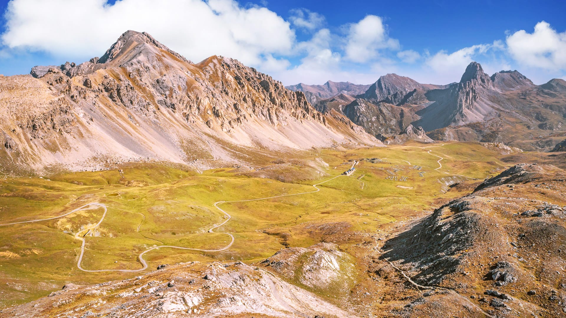
Gardetta Plateau with Gardetta Hut in the middle (photo credit: G. Mignone – ATL del Cuneese)
Saluzzo and the Monviso valleys
This area combines famous climbs, Monviso views, gravel options and one of Piedmont’s most interesting historic towns. It is a strong choice for road cyclists who want serious mountain riding with plenty to explore off the bike.
Saluzzo is a strong base for riders who want historic towns, famous climbs and access to the Monviso valleys.
The area begins with gentler hills and valley roads before rising into serious Alpine terrain. This makes it useful for riders who want a choice of easier routes and major climbs from the same base.
The Po and Varaita valleys give access to Colle dell’Agnello and Colle di Sampeyre. Both climbs have featured in major professional races and are now established cycling routes.
Near Colle di Sampeyre, riders can also access the Strada dei Cannoni. This is a high-altitude gravel route suitable for gravel bikes or MTBs.
The area sits beneath Monviso, known as the “King of Stone”. At its base, Pian del Re marks the source of the River Po at 2,020 metres.
Road surfaces vary. The main climbs are paved, while there are also unpaved tracks and inter-valley routes for gravel and MTB riders.
Saluzzo adds strong off-bike appeal, with its medieval centre, noble palaces and access to abbeys such as Staffarda.
Suggested route: Colle dell’Agnello
Key statistics
135 kilometres
2,700 metres of elevation gain
What it’s like
The route to Colle dell’Agnello is a demanding high-mountain road ride developed entirely on asphalt roads. After a rolling approach through the plains and lower Varaita Valley, the main climb begins beyond Casteldelfino, where gradients become longer and more sustained as the road gains altitude through a series of wide hairpins and exposed alpine sections.
The ascent to the 2,744 metre pass requires endurance rather than explosive effort, with long climbs at steady gradients, changing weather conditions and significant elevation gain. The descent follows the same route, combining fast-flowing sections with more technical stretches that require attention, particularly on the upper part of the pass.
Note: The Outdooractive route above currently starts in Sampeyre rather than Saluzzo, which makes it a little shorter than the route described here. Nonetheless, Sampeyre is directly on the route, so the overall experience remains consistent.
More information
Visit ATL del Cuneese’s itinerary page for more details on Colle dell’Agnello.
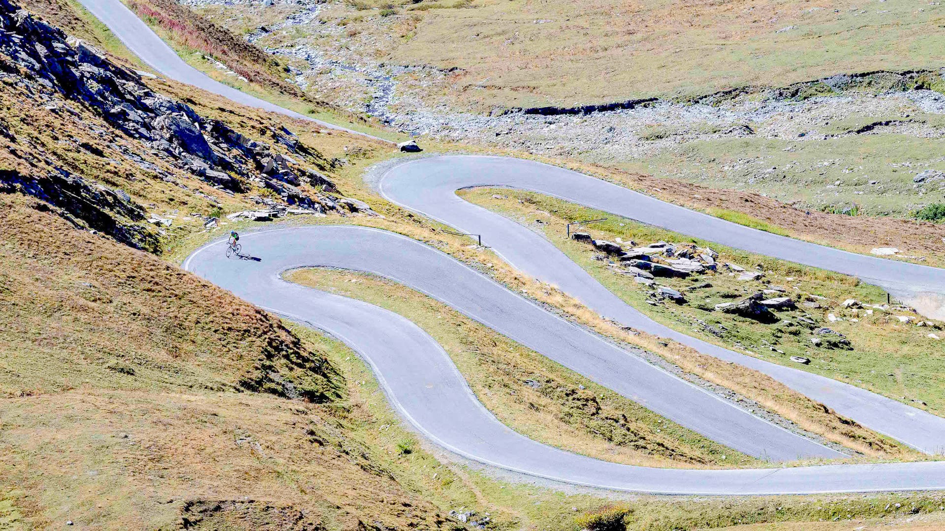
Climb up to Agnello Pass (photo credit: R. Croci – ATL del Cuneese)
Suggested route: Pian del Re
Key statistics
82 kilometres
1,780 metres of elevation gain
What it’s like
Starting from the historic town of Saluzzo, the route to Pian del Re gradually leaves the plains behind and enters the Po Valley, following a long and scenic ascent towards the foot of Monviso, the iconic “King of Stone”. The road climbs steadily through small alpine villages, forests and open mountain landscapes before reaching Pian del Re at 2,020 metres, where the River Po rises beneath the dramatic silhouette of Monviso.
Fully paved and never excessively technical, the climb is best suited to road cycling and rewards riders with a gradual transition from gentle valley scenery to a true high-alpine environment.
More information
Visit ATL del Cuneese’s itinerary page for more details on Pian del Re.
Suggested route: Strada dei Cannoni
Key statistics
40 kilometres
2,100 metres of elevation gain
What it’s like
The Strada dei Cannoni is a high-altitude former military ridge route of around 40 kilometres that runs mostly above 2,000 metres between the Maira and Varaita valleys. It is typically ridden in reverse, finishing at the Colle di Sampeyre, and follows a long, exposed alpine crest through wide pastures and panoramic ridgelines.
The profile is generally smooth rather than technical, but the route is made demanding by its length, elevation and constant exposure. Best suited to mountain bikes and e-MTBs, it offers a continuous and immersive bike ride where the landscape, rather than technical difficulty, defines the experience.
More information
Visit these ATL del Cuneese’s pages for more details on Saluzzo and the Po Valley.
You can also checkout the Strada dei Cannoni itinerary page here.
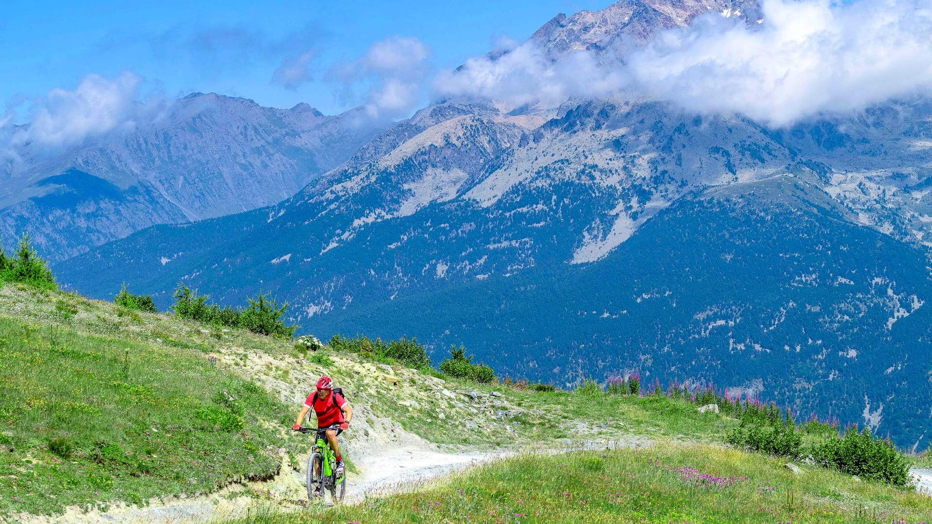
Cycling on Strada dei Cannoni, with Mount Monviso in the background (photo credit: R. Croci – ATL del Cuneese)
3.4 Things to know before visiting the Cuneo region
What are the key cycling events in the Cuneo region?
The Cuneo region has a strong cycling events calendar, with granfondos, professional races, MTB events and international cycling events.
One of the most important events is La Fausto Coppi. It starts and finishes in Piazza Galimberti in Cuneo and is one of Italy’s best-known granfondos. In 2026, La Fausto Coppi is scheduled for 28 June. The granfondo route is 172 kilometres with more than 4,300 metres of elevation gain. The mediofondo is 111 kilometres with around 2,500 metres of climbing. The route includes Colle di Sampeyre, Colle d’Esischie, Colle Fauniera and Madonna del Colletto. It is best suited to experienced cyclists.
The GF Alpi del Mare is another important event. It is part of the Tour de France granfondo series and takes place in Mondovì. In 2026, it is scheduled for 20 September. The route is 110 kilometres with 2,271 metres of elevation gain. It crosses the hills of the Monregalese and the Ligurian Alps, with rolling roads, short climbs and technical descents.
Other key 2026 events include:
- GF Étape Piemonte by Tour de France, starting in Entracque, on 31 May.
- Giro d’Italia Women Grand Final, Saluzzo to Saluzzo, on 7 June.
- Via del Sale MTB Race, starting from Limone Piemonte, on 21 June.
For visiting cyclists, these events are a useful way to experience the region’s cycling culture. However, the Cuneo region is also appealing outside event dates, thanks to its famous climbs, gravel routes and quiet roads.
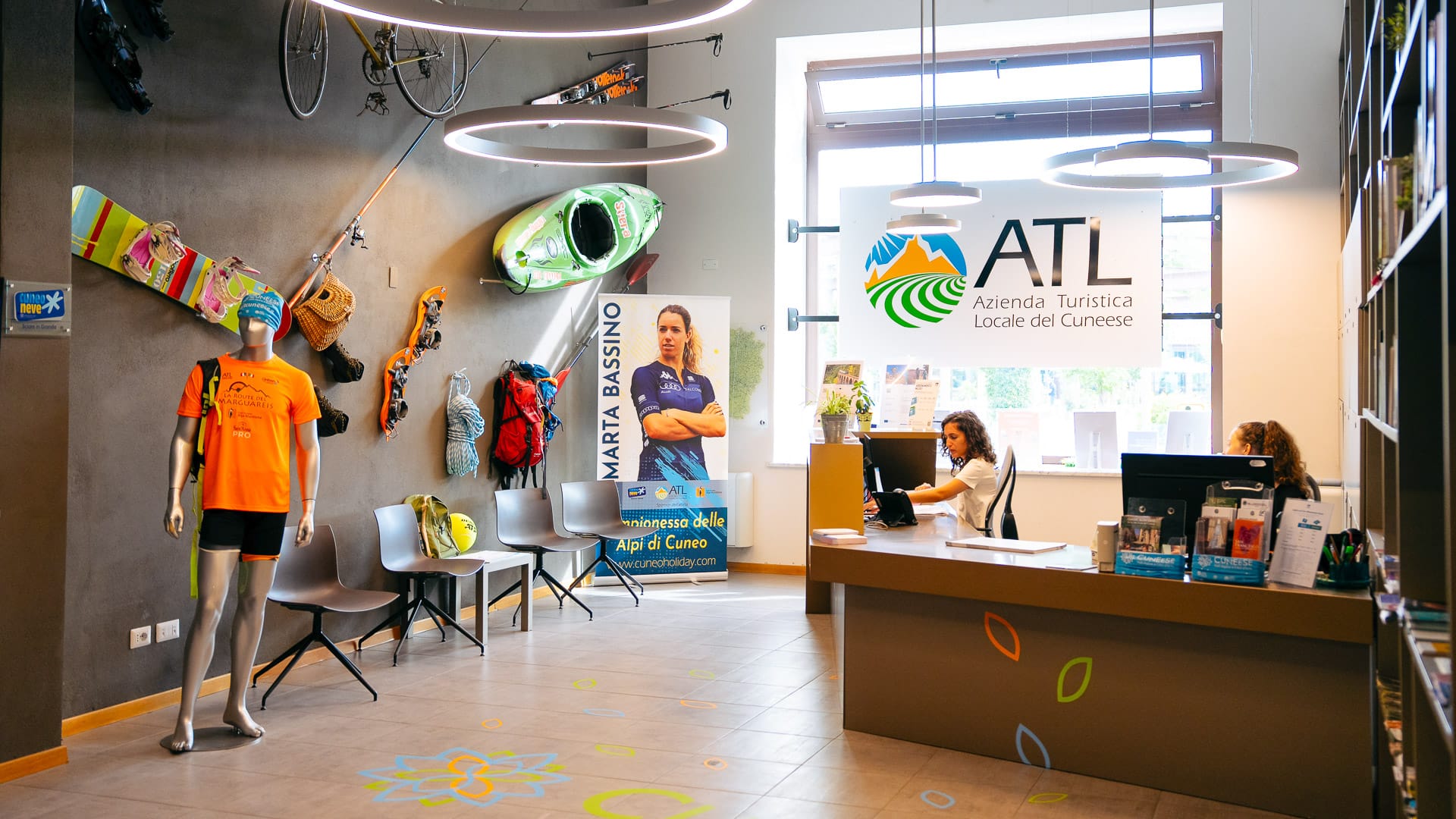
Cuneo Tourist Office Cuneo Tourist Office (photo credit: W. Boehmer – ATL del Cuneese)
Can you find bike hire and bike rental shops in the Cuneo region?
Yes. Bike hire, repair services and specialist cycling shops are available in the Cuneo region.
The Cuneo Bike Experience network is the best starting point. It brings together bike rental services, workshops, guides and logistics support across the region.
E-bikes and MTBs are particularly useful here, especially for riders tackling gravel routes, mountain tracks or longer climbs.
The Bike Room in Cuneo can also help with rental, charging stations, technical support and bike logistics.
Top tip! Book hire bikes in advance if you need a specific size, bike type or gearing for the Alpine climbs.
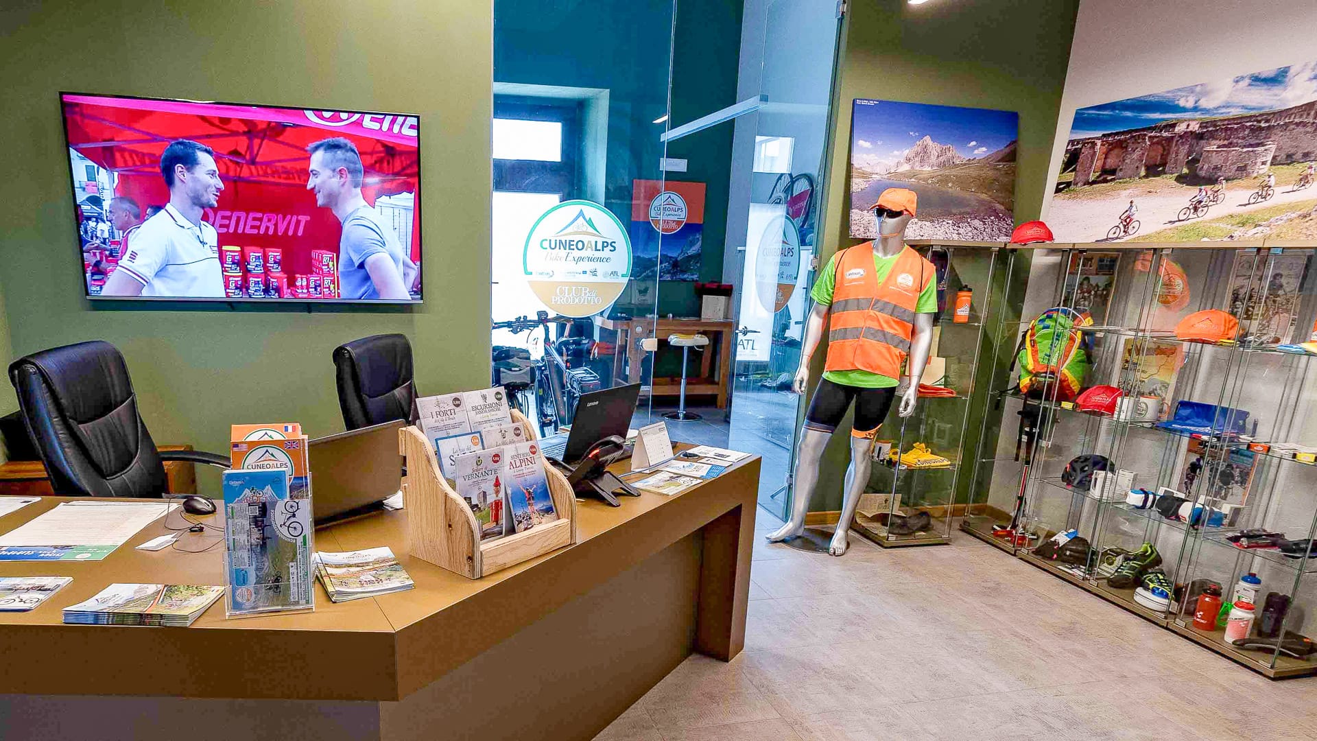
Cuneo Bike Room (photo credit: R. Croci – ATL del Cuneese)
Part 4: How do the Turin and Cuneo regions of Piedmont connect for cyclists?
4.1 How to pick between Turin and Cuneo for a bike trip
Turin and Cuneo work well together as a two-centre cycling trip. They sit in the same wider Piedmont region, but offer different styles of riding.
- Turin is stronger for city access, the Susa Valley, Superga, Colle delle Finestre and the roads towards Sestriere.
- Cuneo is better for the Maritime Alps, Colle Fauniera, Colle dell’Agnello, the Gardetta Plateau and the Alta Via del Sale.
Together, they give cyclists a broader picture of Piedmont: city riding, river routes, rolling countryside, high Alpine climbs, gravel roads and famous race history.
4.2 Can you ride between Turin and Cuneo?
Yes. It is possible to ride between Turin and Cuneo, either as a direct transfer ride or as part of a longer trip.
A direct Turin to Cuneo bike ride is around 90 kilometres, depending on the start, finish and route. This makes it achievable in a day for fit road cyclists, though route choice matters.
The more interesting option is to turn the connection into a staged ride. Cyclists can link Turin, Pinerolo, Saluzzo and Cuneo, using quieter roads, river routes and foothill towns rather than treating the ride as a simple transfer.
Cuneo and Turin are also on EuroVelo 8, the Mediterranean Cycle Route. The Piedmont section of EuroVelo 8 connects Cuneo to Turin and is approximately 130 kilometres long. The route largely follows the foothills, passes through Saluzzo, crosses the Via delle Risorgive between Airasca and Moretta, and winds its way along a mix of cycle paths, minor roads and dirt tracks.
Bikepacking is also possible, particularly for riders who want to connect both regions without relying on transfers. A light bikepacking setup would allow cyclists to spend a night in towns such as Pinerolo or Saluzzo before continuing towards Cuneo.
A more ambitious version could include the Susa Valley, Sestriere or French border climbs before heading south towards Cuneo. This would suit experienced riders with good fitness and careful route planning.
For cyclists who love a challenge, epic climbs and have plenty of time to spare, there is also a route that crosses numerous mountain passes in the valleys of the provinces of Cuneo and Turin. This would be best suited to experienced cyclists with strong fitness, careful route planning and suitable weather conditions.
You can check the route below:
4.3 Are there any historic cycling links between Cuneo and Turin?
The most famous historic connection is the Cuneo to Pinerolo stage that is part of Giro d’Italia legend. In 1949, Fausto Coppi won the Cuneo to Pinerolo stage after a huge solo ride over Colle della Maddalena, Col de Vars, Col d’Izoard, Colle del Monginevro and Sestriere. The stage was around 254 kilometres with more than 5,000 metres of climbing. More information on this story here.
For modern cyclists, the full historic route is a serious undertaking. It crosses into France and involves major Alpine passes. It is best seen as an experienced rider’s challenge or a multi-day bikepacking objective, rather than a standard transfer route.
The Giro also returned to the Cuneo to Pinerolo idea in 2019, with a shorter stage between the two towns.
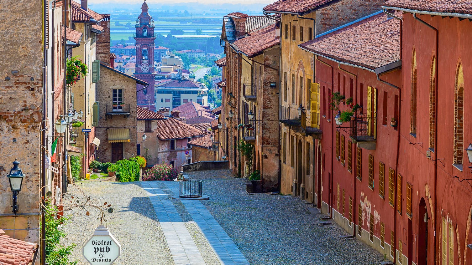
Via Castello in Saluzzo (photo credit: R. Croci – ATL del Cuneese)
4.4 Could you ride one area, then the other?
Yes, and this may be the easiest option for most visitors.
Cyclists could spend a few days in Turin for Superga, the River Po and the Susa Valley, then transfer to Cuneo for Colle Fauniera, Limone Piemonte, the Gesso and Stura River Park or the Monviso valleys.
This approach avoids needing to carry luggage by bike. It also means riders can choose the best base for each type of riding.
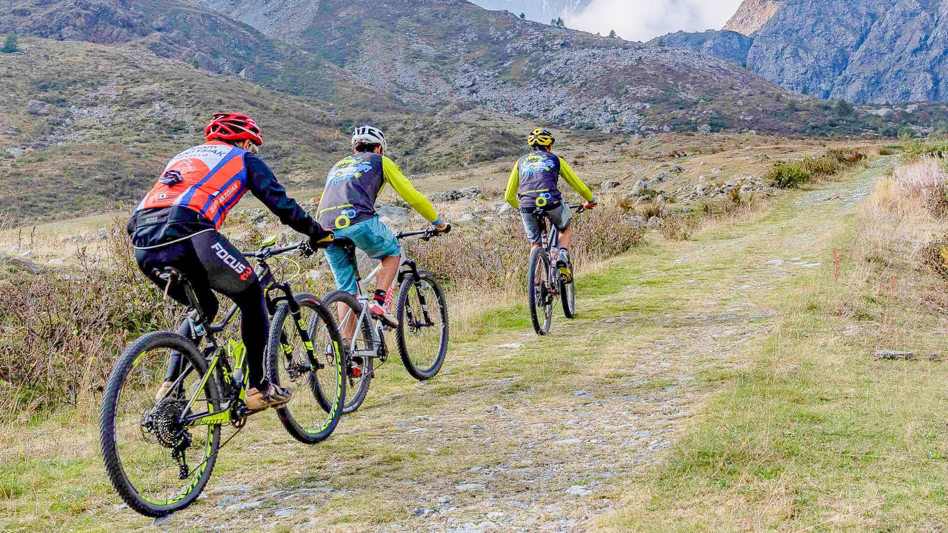
Po Valley, Pian della Regina (photo credit: R. Croci – ATL del Cuneese)
4.5 How do you get from Turin to Cuneo?
By bike, the direct ride can be around 90 kilometres, depending on the route.
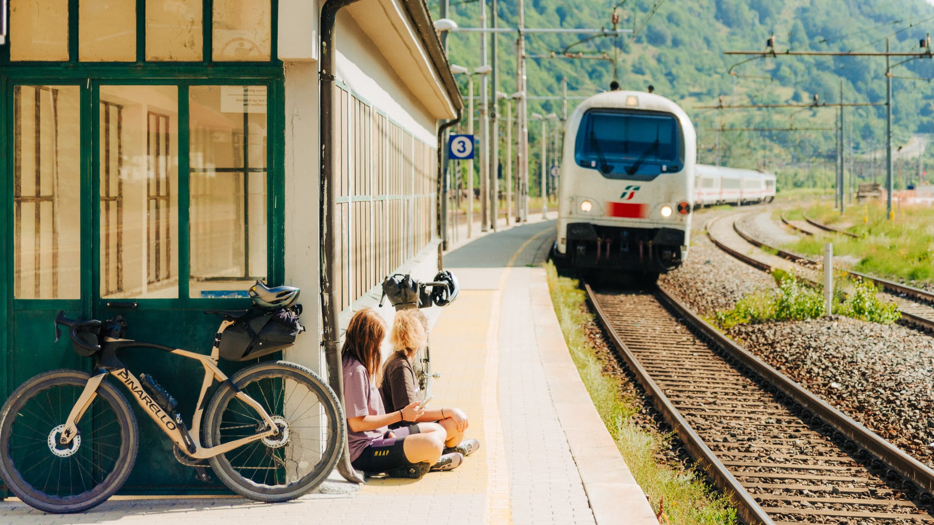
By train, riders can usually travel between Turin and Cuneo via regional rail services, though bike rules and spaces should be checked before travel.
By car or private transfer, the journey is straightforward and may be easier for cyclists travelling with bike boxes, luggage or multiple bikes.
4.6 Why combine Turin and Cuneo?
Combining the two areas gives cyclists a richer Piedmont trip.
Turin brings city culture, easy logistics, Superga, the Susa Valley and famous Giro climbs such as Colle delle Finestre. Cuneo brings a quieter mountain feel, food culture, Colle Fauniera, Monviso, Limone Piemonte and high-altitude gravel.
It also lets cyclists follow part of Piedmont’s cycling story, from Coppi’s legendary Cuneo-Pinerolo ride to modern Giro and granfondo routes.
4.7 How do Turin and Cuneo compare?
Turin and Cuneo complement each other well as cycling destinations, but they offer slightly different experiences.
The Turin region is more closely connected to the city, with quicker access to famous race climbs, major transport links and a mix of urban and Alpine riding. It suits cyclists who want variety and flexibility, with everything from riverside cycle paths to high mountain roads within relatively short distances.
The Cuneo region feels more remote and mountain-focused. The valleys are quieter, the landscapes more rugged and the riding often more closely tied to high Alpine terrain, gravel roads and longer climbs. It is especially appealing for cyclists looking for a stronger sense of adventure and fewer crowds.
Together, the two regions give cyclists access to a huge range of riding styles across western Piedmont.
Part 5: Tips for cycling in Piedmont
5.1 What is the best time of year to go cycling in Piedmont?
The best time to cycle in Piedmont depends on where you want to ride.
When is the cycling season around Turin?
For the Turin region, the main cycling season runs from April to October. Lower routes around Turin, the plains and the hills are usually best in spring and autumn, when temperatures are more comfortable. High-altitude routes in the mountains are usually accessible from June to October. In the lowlands, the best times are spring and autumn.
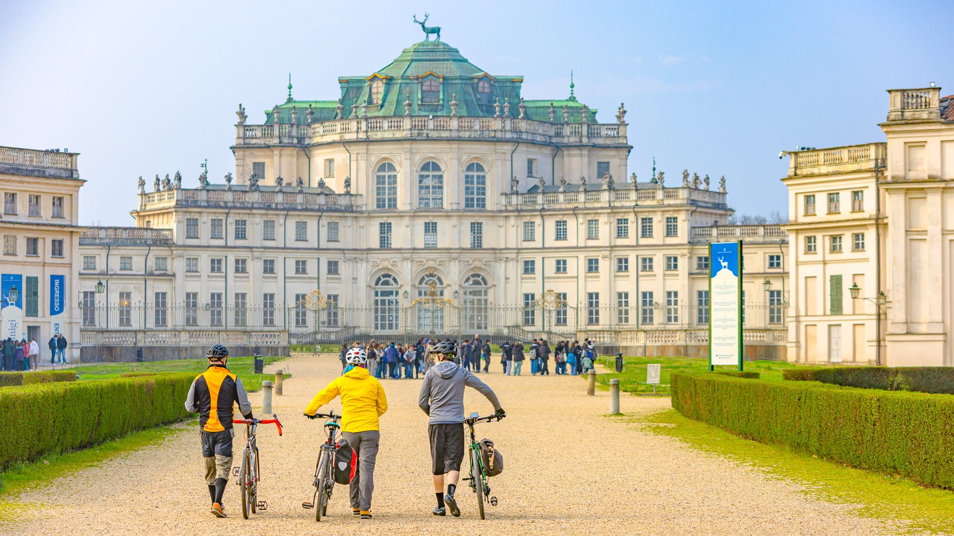
Cyclist at Stupinigi (photo credit: EMelchiori via Turismo Torino e Provincia)
When is the best time to cycle in the Cuneo region?
For the Cuneo region, late spring to early autumn is best, with June to September the key period for high-altitude routes. Roads such as the Alta Via del Sale, Gardetta Plateau and Strada dei Cannoni usually open after the snow has melted. September is often considered the best month for its milder temperatures, quieter roads and excellent riding conditions.
July and August usually offer full access to high-altitude routes and services, but lower areas can be hotter. May and early June are better for road cycling in lower valleys, hills and plains, as well as easier rides around towns such as Saluzzo and Mondovì.
Be aware! Winter and early spring are not ideal for Alpine cycling. Snow, unstable weather and seasonal closures can affect high passes and gravel roads.
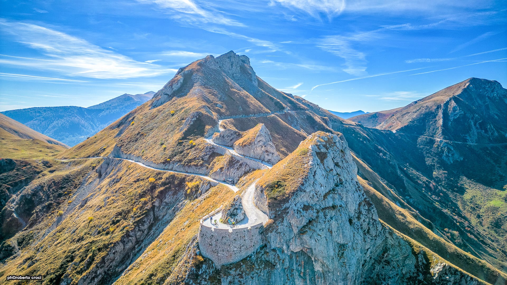
Upper Salt Road, Boaria hairpin turn panoramic view (photo credit: R. Croci – ATL del Cuneese)
5.2 How do you get to Piedmont?
Turin is the main gateway for most international cyclists visiting Piedmont.
By air
Turin Airport
Turin Airport is the most convenient airport for the Turin region. The city also has strong rail connections, with Torino Porta Nuova and Torino Porta Susa acting as the main train stations.
Milan airports
For international visitors, Milan Malpensa Airport is also a useful gateway to Piedmont. It offers a wider range of long-haul and international flight connections than Turin.
Milan Malpensa is around one hour and 30 minutes to two hours by car or private transfer from Turin, depending on traffic. The journey to Cuneo is usually around two and a half to three hours by car or private transfer.
Cuneo access
For Cuneo, many international visitors will arrive via Turin or Milan, then continue by train, car or transfer.
Cuneo is also accessible via the A6 Turin-Savona motorway and A33 Asti-Cuneo. Nearby airports include Cuneo Levaldigi, Turin, Genoa and Nice.
Trains and public transport
Rail links connect Cuneo with Turin and Liguria, while the Cuneo-Saluzzo-Savigliano railway line is useful for cyclists moving between plains and Alpine areas.
Public transport can help with cycling trips, but bike rules vary. Always check whether bikes are allowed on your chosen train or bus and whether you need to pay an extra fare.
Top tip! If travelling with a bike box, check space and conditions before booking transport. Private transfers may be easier for remote valleys, high mountain routes or point-to-point trips.
5.3 What tips should cyclists know before riding in Piedmont?
Route choice matters in Piedmont
Piedmont is a region where route choice matters. You can ride flat riverside paths, quiet rural roads, hill routes, major Alpine climbs and high-altitude gravel tracks.
The best approach is to match your route to your fitness, bike and experience.
In both Turin and Cuneo, the best riding is usually away from the busiest main roads. Look for cycle paths, secondary roads, valley roads and marked cycling routes.
Choose cycle paths and quiet back roads where you can. Avoid main roads with heavy traffic, especially near larger towns.
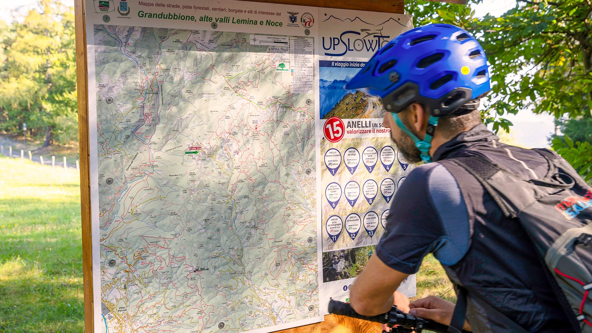
Cyclist checking a route map in Val Pellice (photo credit: PCiaberta via Turismo Torino e Provincia)
Plan carefully for altitude
Many of Piedmont’s headline rides take cyclists high into the mountains.
Altitude affects both effort and conditions. Climbs can feel harder, temperatures can be much cooler than in the valleys and weather can change quickly.
For high mountain rides, start early, check conditions before setting out and carry enough water, food and layers. A GPS device or offline navigation is also important on remote gravel routes.
In high-mountain environments, a GPS device or offline navigation tracks are not just helpful but effectively essential for safety and orientation.
For more tips, read our guide to cycling at altitude.
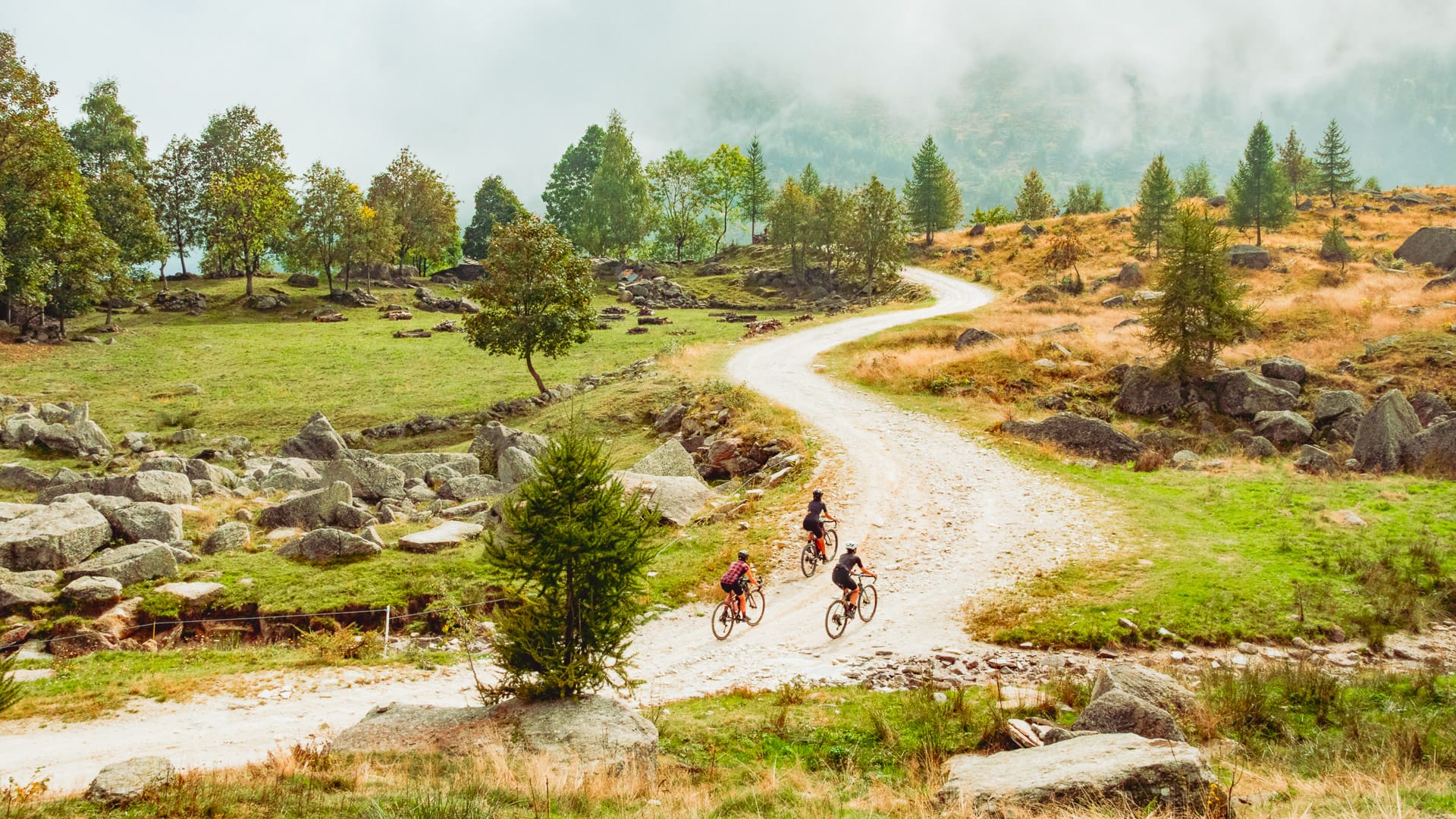
Climbing in Val Pellice (photo credit: EBlua via Turismo Torino e Provincia)
Know the Italian cycling rules
Cyclists in Italy must follow the national Highway Code.
Front and rear lights are required in low visibility. Helmets are compulsory for under-18s. Outside built-up areas, cyclists may need to ride in single file.
On specific high-altitude routes, extra rules may apply. This is particularly relevant on the Alta Via del Sale, where access rules and seasonal openings should be checked before riding.
Pack for the ride you are doing
Bring the usual essentials for a cycling trip: repair kit, spare tubes, pump, layers, waterproof jacket, gloves, sun protection and navigation.
For high-altitude gravel or rough terrain, a mountain bike, e-MTB or suitable gravel bike is recommended.
Weather can change quickly in the mountains, even in summer, so layered clothing is strongly recommended.
Take a look at our in-depth packing guide for more useful suggestions.
Be realistic about fitness
You do not need to be an expert cyclist to enjoy Piedmont. There are easy river routes, cycle paths and gentler rides around the plains and lower valleys. There are options suitable for sports enthusiasts and tourists.
However, the big Alpine climbs require preparation, with many routes requiring endurance rather than explosive power. Routes such as Colle delle Finestre, Colle del Moncenisio, Colle del Sestriere, Colle del Fauniera and Colle dell’Agnello involve long climbs and significant elevation gain.
Carry food and water in the mountains
Food and water are usually easy to find in towns, valleys and villages. In the mountains, services can be less frequent.
Food and water are generally easy to find while riding, but carry extra supplies on longer mountain routes.
Carry enough water and snacks for remote routes, especially on high-altitude gravel rides.
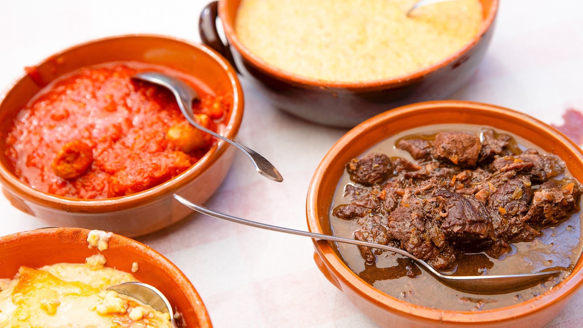
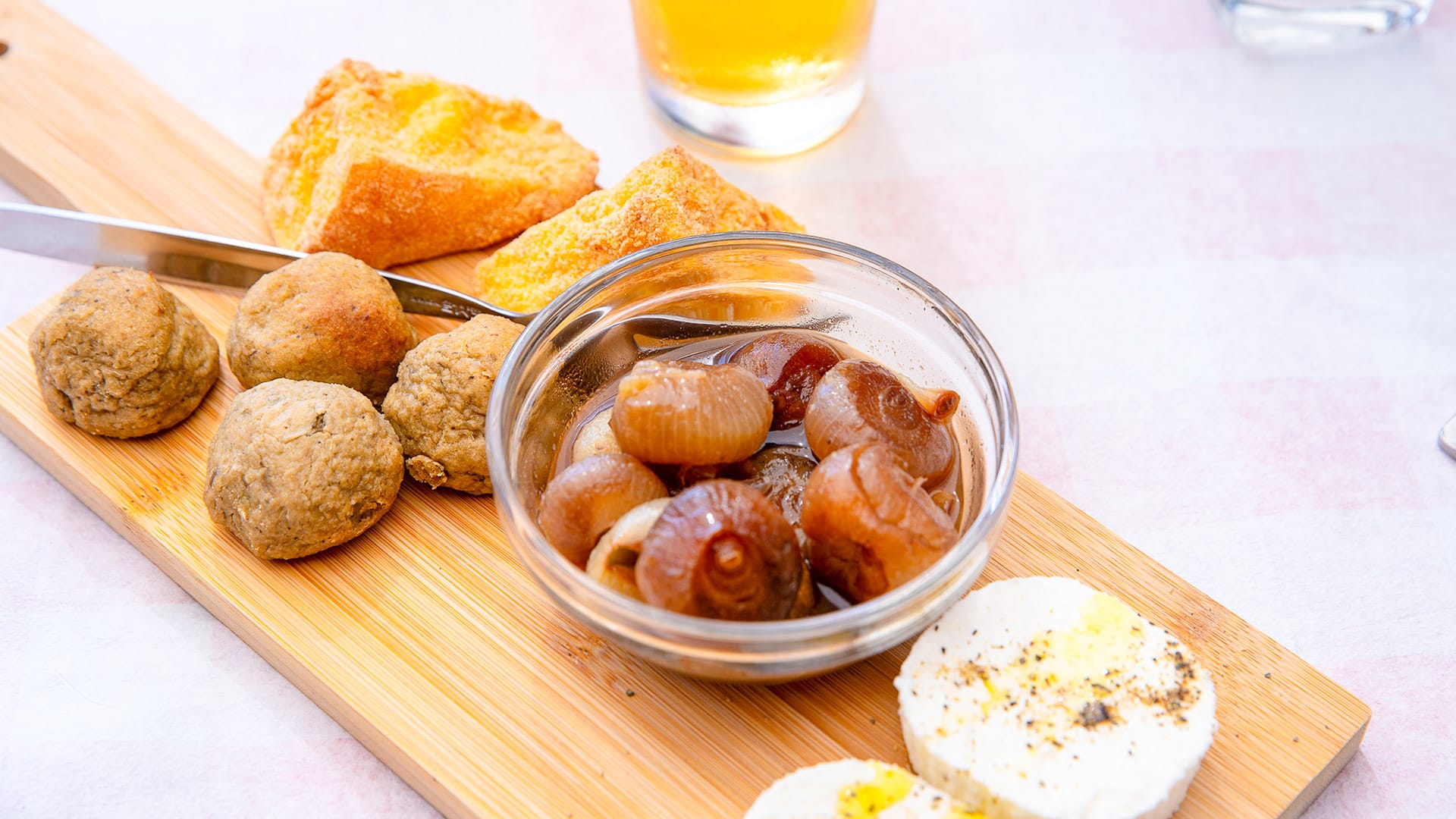
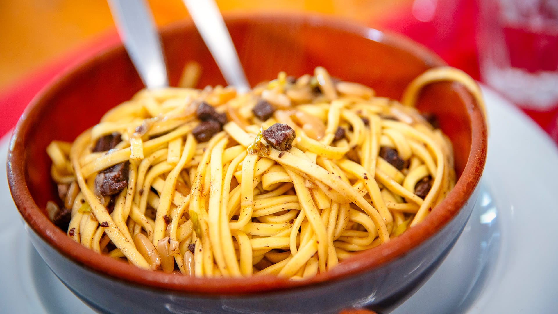
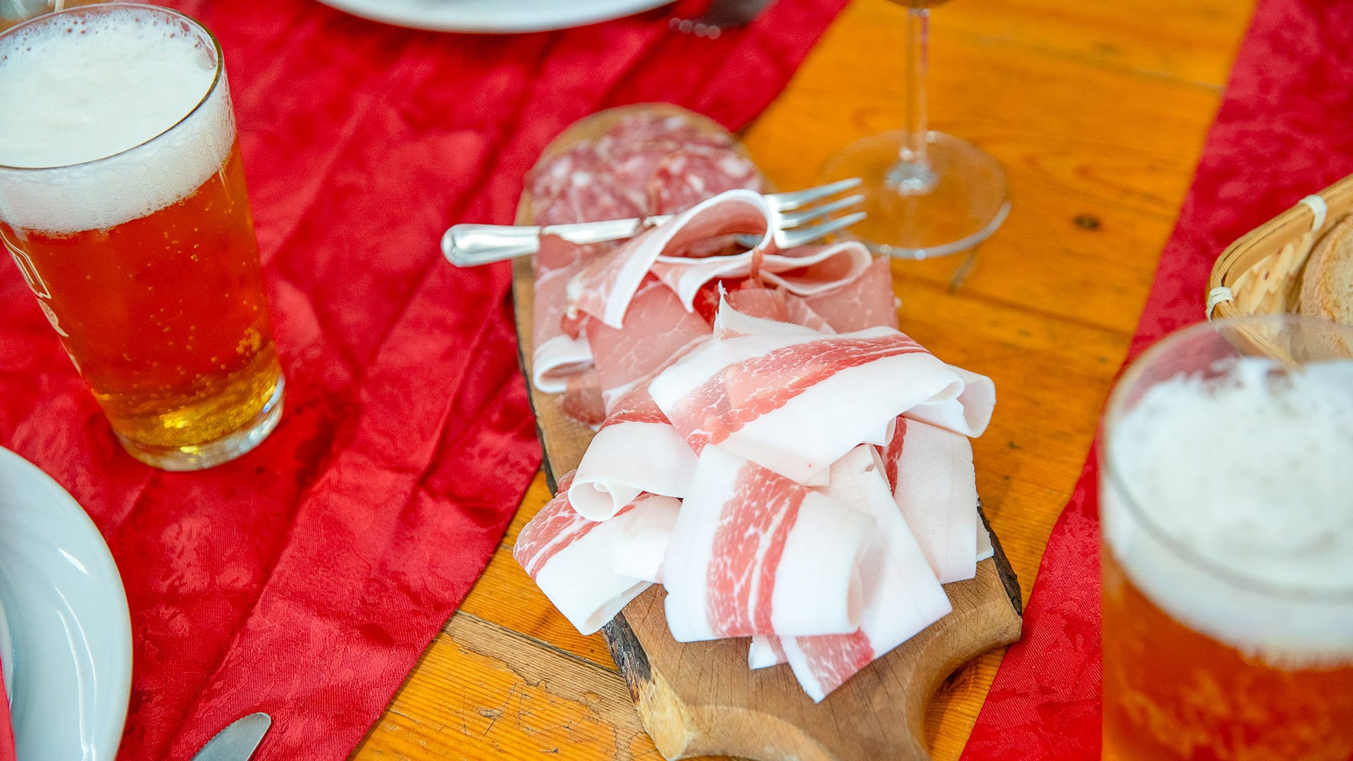
The Piedmont region has a background in good food. Turin and its province are particularly known for chocolate and gianduiotti, as well as local specialities such as canestrelli, nocciolini di Chivasso, paste di meliga, bagna cauda, agnolotti del plin and vitello tonnato.
In Cuneo, look out for polenta, bagna caoda, ravioles and cruzet. For more information, visit ATL del Cuneese’s food page.
Learn a few useful Italian words
You do not need to speak Italian, but a few words can help, especially in smaller valleys.
Useful words include:
- Buongiorno: good morning/good afternoon
- Buonasera: good evening
- Acqua: water
- Colle: mountain pass
- Sterrato: dirt road
- Aperto: open
- Chiuso: closed
What’s next?
Thanks to Alberto and Gabriella for sharing these insights into cycling in Turin and Cuneo.
Looking for more exciting content on cycling in Italy?
- Cycling Tuscany, for classic cycling routes and beautiful hill towns
- The Val Susa Gravel Loop, for an in-depth look at gravel cycling in Turin.
- Cycling the Italian Lakes: an insider’s guide, including the best bases and routes
- Cycling Verona, for vineyard roads, historic towns and varied riding
- Cycling Sardinia, featuring coastal routes, quiet inland roads and mountain climb
- Cycling Stelvio Pass region, Italian Alps: your ultimate guide, for legendary climbs and high mountain scenery
Got a question for Alberto and Gabriella?
Fill out this form and we will send it to Alberto and Gabriella. We aim to get you an answer within 24 hours where possible!Alberto Surico is Head of Outdoor Tourism at Turismo Torino e Provincia.
His role is to help more people discover Torino and its province as an outdoor destination. Cycling is a big part of that. From alpine climbs and quiet valleys to routes linking culture, food and history, the area has huge potential for riders.
At Turismo Torino e Provincia, Alberto promotes the region to visitors, tour operators and media in Italy and abroad. His aim is simple: to show why Torino is a brilliant place to ride, stay longer and explore more.
Photo credit: Giorgio Gulmini
Gabriella Giordano has served on the board of ATL del Cuneese since 2014, giving her a direct view of the Cuneo area’s development into a recognised cycling and outdoor destination.
During this time, cycling tourism has become an increasingly important part of the region’s tourism identity, supported by its mountain landscapes, sporting heritage, outdoor experiences and specialist hospitality services.
In 2025, she was appointed Chair of ATL del Cuneese. In this role, she works to strengthen the destination’s international visibility and support the continued development of sustainable, experience-led tourism across the region.
First Published: 09 July 2026
The contents of this website are provided for general information purposes only. It is not intended to amount to advice and you should not rely on it. You should carry out your own due diligence and risk assessments and take professional advice. Views expressed by interviewees or other users of this website do not necessarily represent our views. We make no representations, warranties or guarantees, whether express or implied, that the content on our website is accurate, complete or up to date. If you use any information or content on this website, download from, or otherwise obtain content or services through our website, it is entirely at your own discretion and risk. Epic Road Rides Ltd disclaims all liability and responsibility arising from any reliance placed on the information and content on this website. Find out more here.