This is a really tough day on the bike and likely to be the most challenging ride you do on Gran Canaria.
The route takes in the island’s most notorious climb (Valley of the Tears) where you ride from the Parralillo reservoir, at 300 metres above sea level, to the summit, at 1,380 metres above sea level.
Expect Valley of the Tears to make you feel like you want to cry! There’s incredible scenery, and an end-of-the-world, lost-in-time sense of isolation, but also unrelenting gradients. The average gradient (including a 1km descent) is 10% (12% without) and maximum gradients reach an eye-popping 25%. On the unforgiving sections of double digit gradients, you’ll feel like you’re on a break when they finally drop back to around the 10% mark!
By way of reward, the ride also takes in the legendary descent down the GC605 from Ayacata to Mogán.
This is a route for fit, experienced cyclists only. Test yourself on other rides first and, if you’re concerned, make sure you’ve got reliable back up in the form of a support car and guide.

Clare Dewey is a cyclist with a passion for travel. She set up epicroadrides.com in 2018 to help make it easy for cyclists to explore the world by bike. Today her mission is still inspiring cyclists to discover new places on two wheels - and doing what she can to make sure they have the best possible time while they're there. Clare has visited 50+ destinations around the world, many of them by bike.
Want to connect with Clare? Find her over on LinkedIn.
Highlights
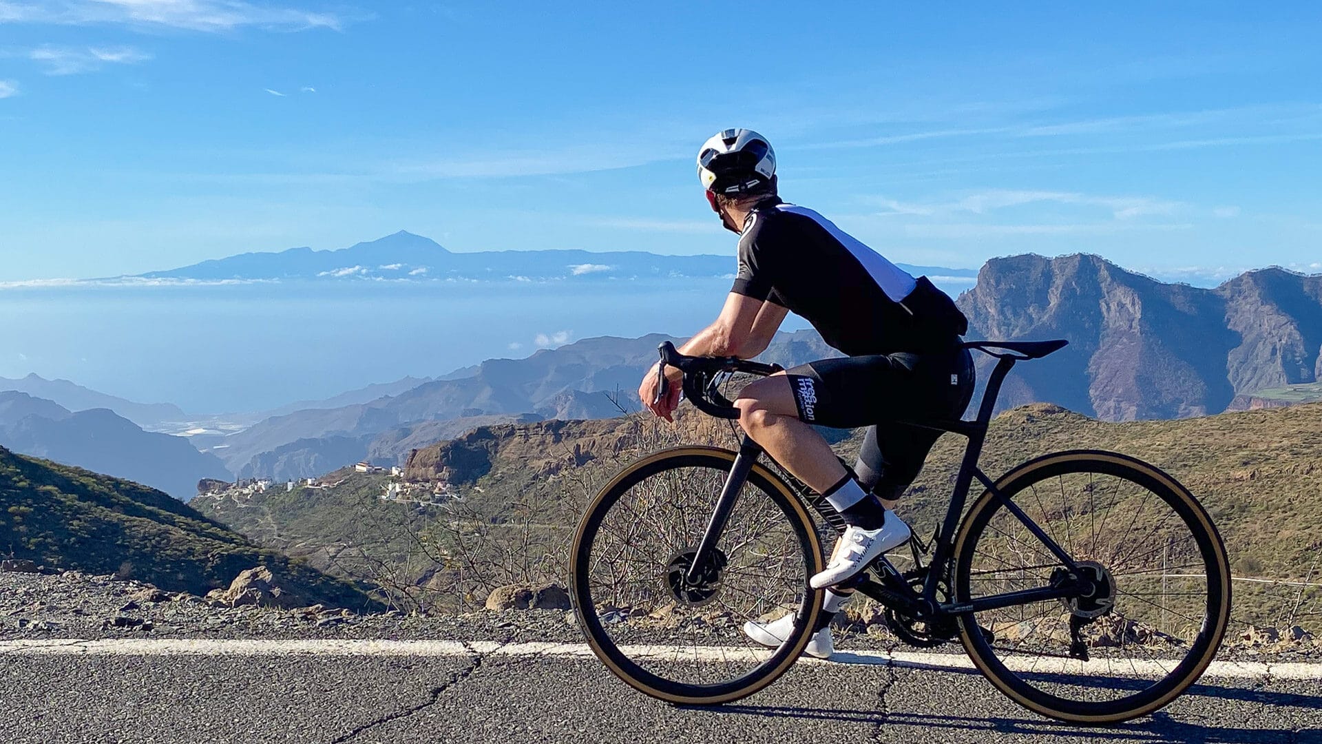
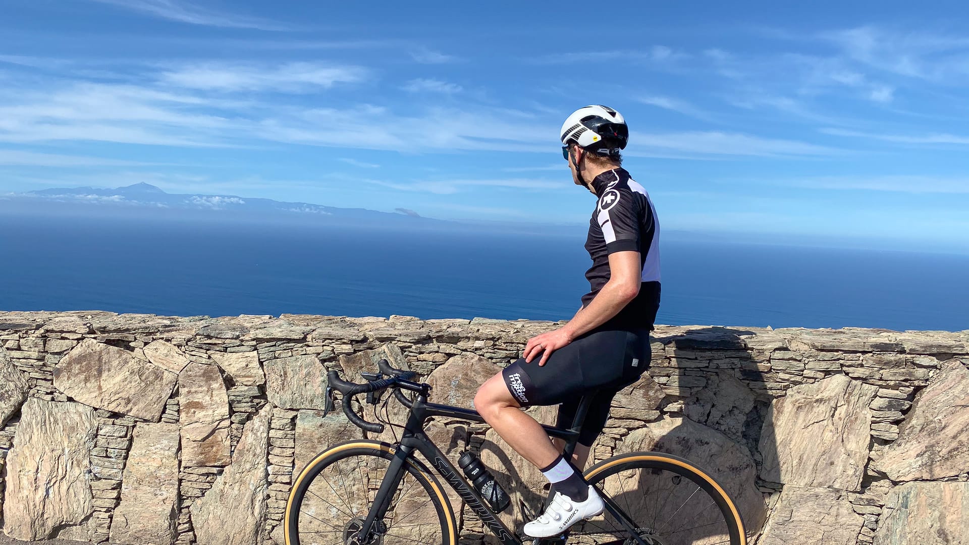
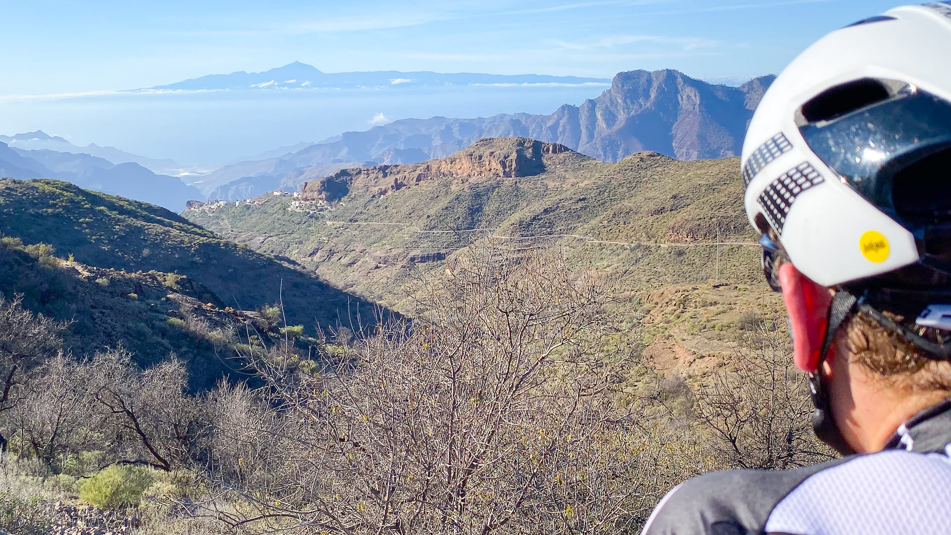
The indisputable highlight of this ride is the view from the summit of the Valley of the Tears.
Not only is there an overwhelming sense of relief and satisfaction at having completed all that climbing, but the view is incredible (see banner photo). On a clear day like we had, it feels like you could just reach down and touch Mount Teide!
Route notes
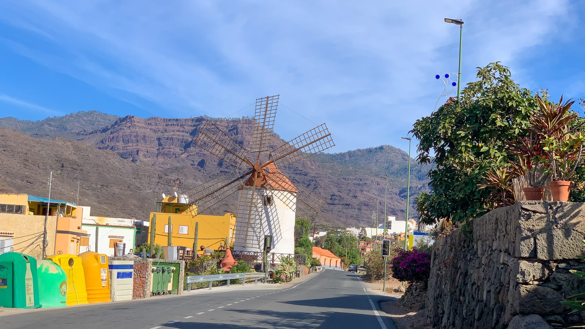
1. Puerto de Mogán to San Nicolas: 0 – 33 kilometres
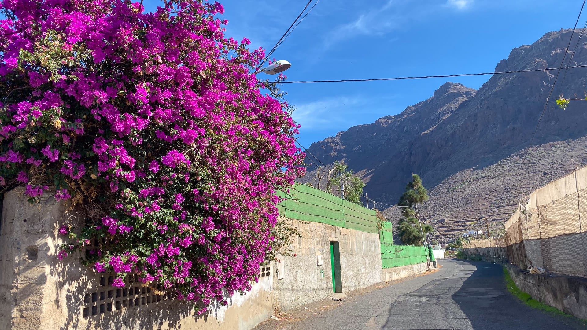
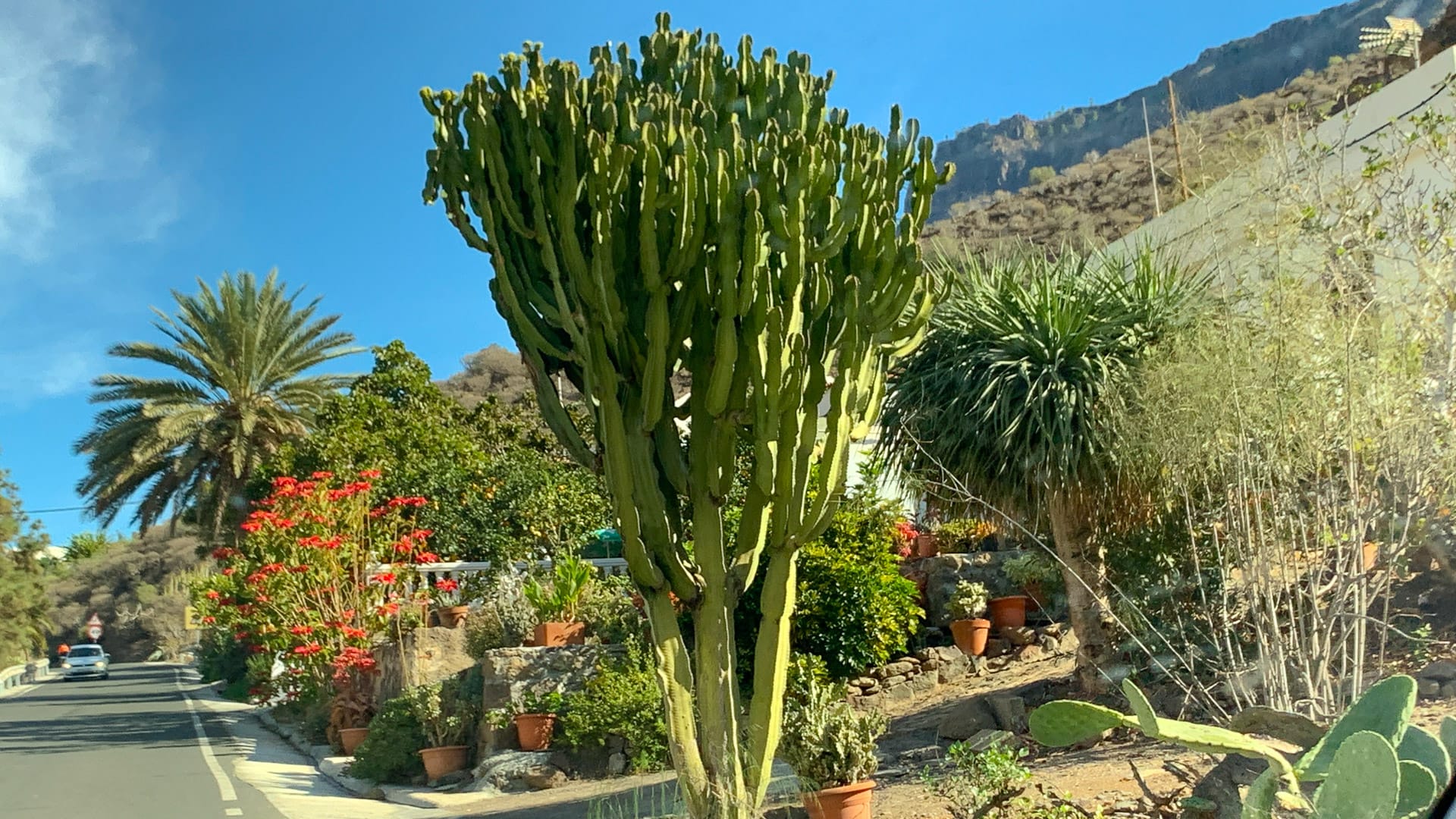
You climb away from the built-up coastline, on a good road, climbing gradually past the odd house and café, hamlets, cactus bushes and brightly coloured flowers.
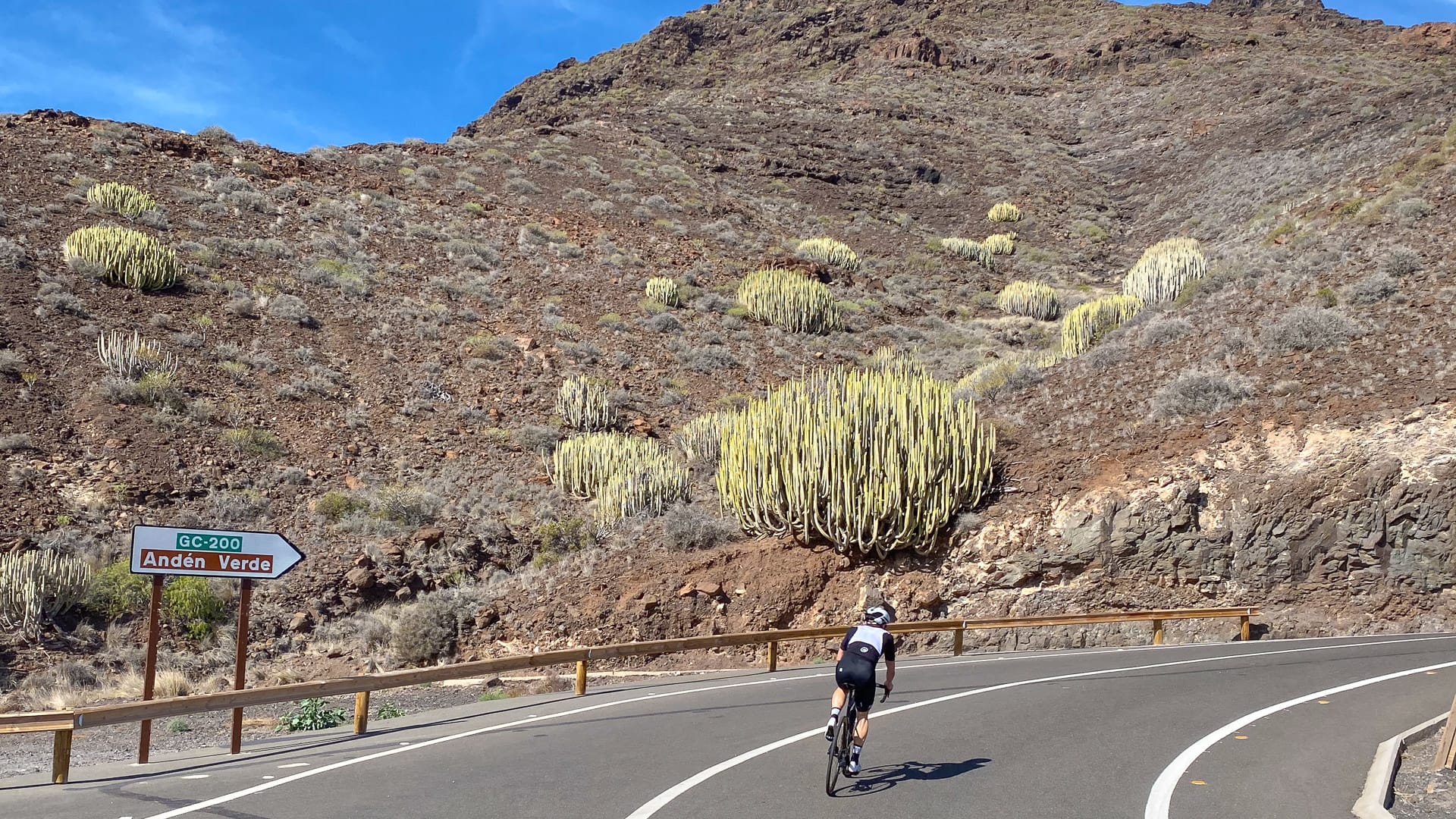
At around 11.5 kilometres into the ride, there’s a sharp left after Mogán onto the GC200. From here it’s a two kilometre climb up to Mirador de Veneguera (5.5% average gradient, but sections well into double digits).
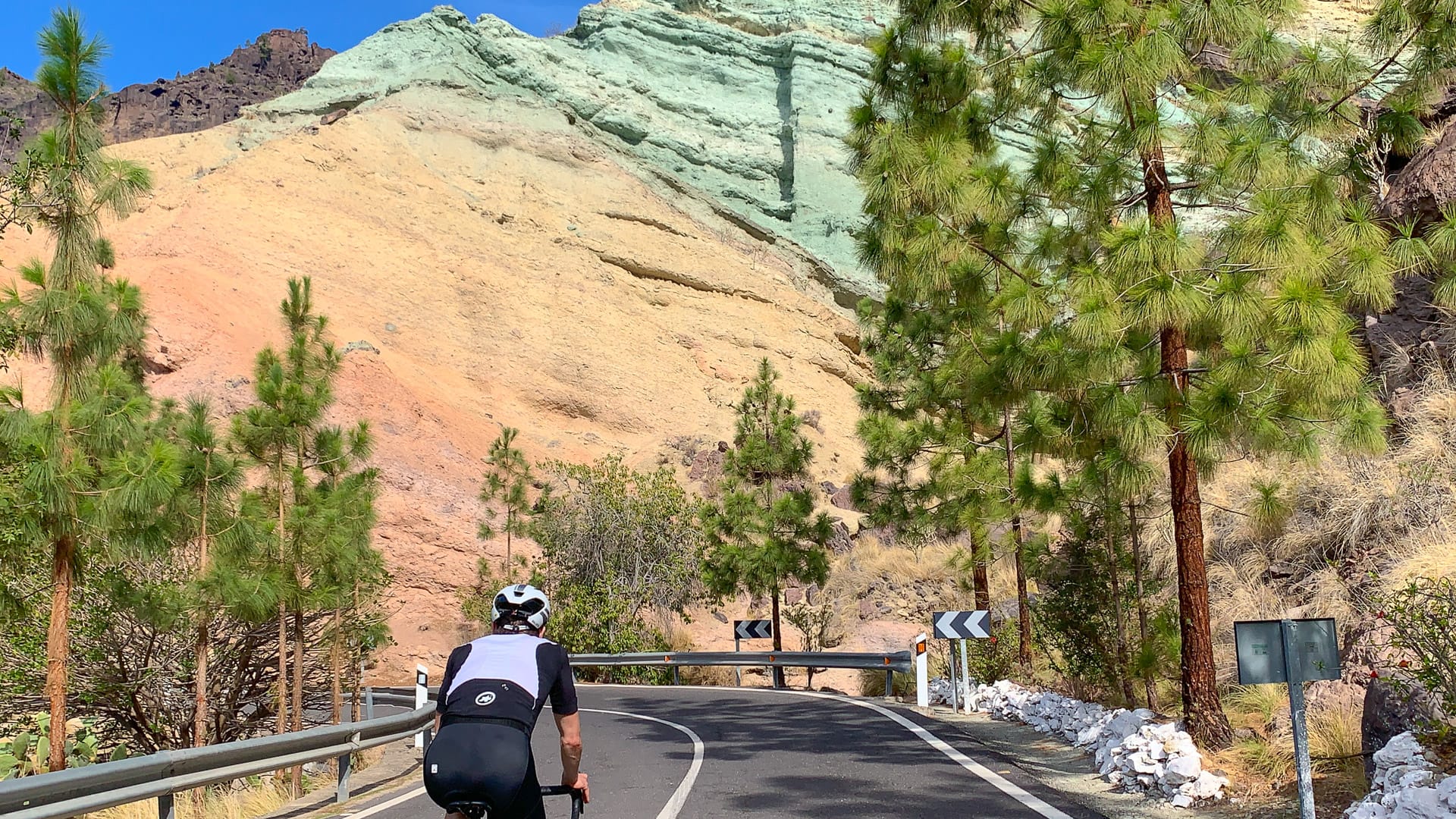
You’re on a generously wide ride as you wind up and around the valleys, passing some unusual green rocks at around 19 kilometres into the ride (Los Azulejos De Veneguera (Rainbow Rocks) – more on those below).
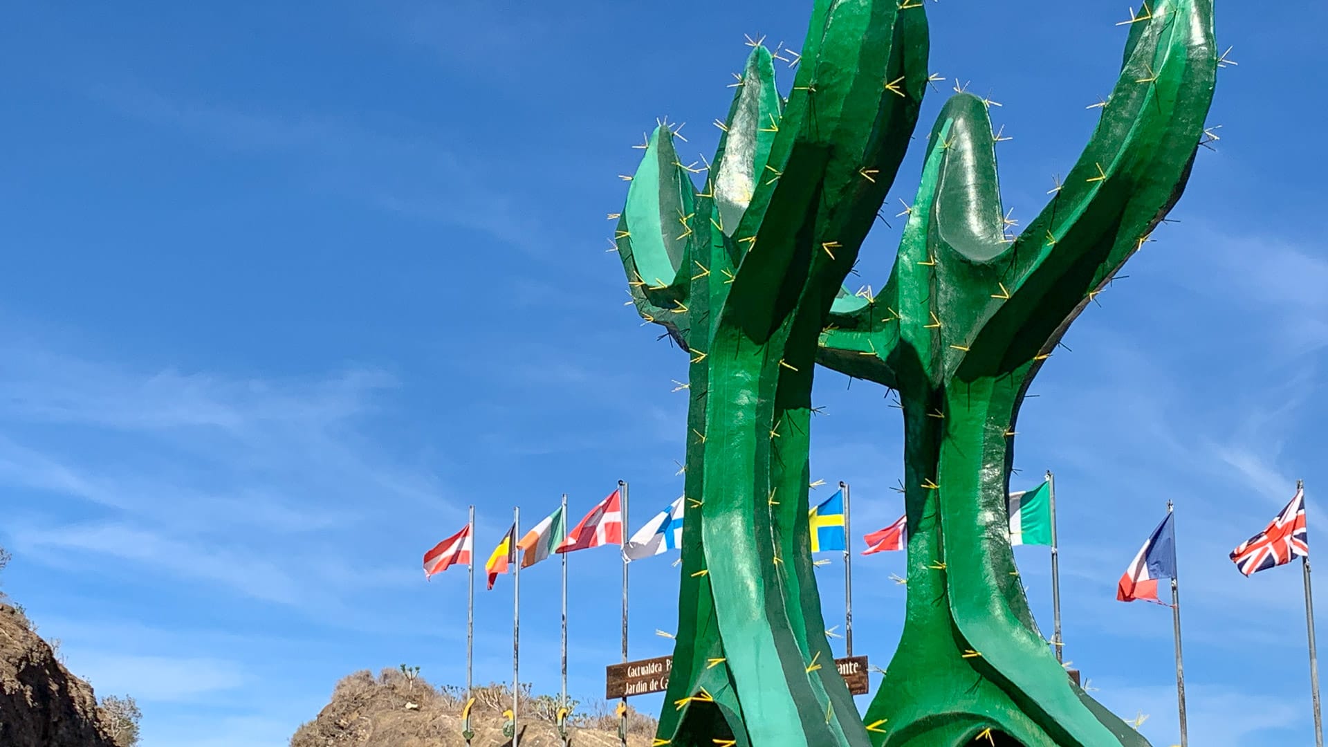
It’s then a fantastic, fast descent down to San Nicolas on a twisting, buttery smooth road with switchbacks galore and an average slope of around -10%. There are some sweeping valley views and in El Hoyo, you pass the unmissable signpost for the world largest cactus!
Note: San Nicolas’s full name is “La Aldea de San Nicolas de Tolentino” but we go with San Nicolas here.
2. San Nicolas to Mirador del BalcÓn to San Nicolas: 33 – 51 kilometres
Nearing the bottom of the descent, just before San Nicolas, you turn left staying on the GC200. We encountered some dubious road surface on the way to the brutal climb up to the Mirador del Balcón (though of course, it might have been improved by the time you get there!).
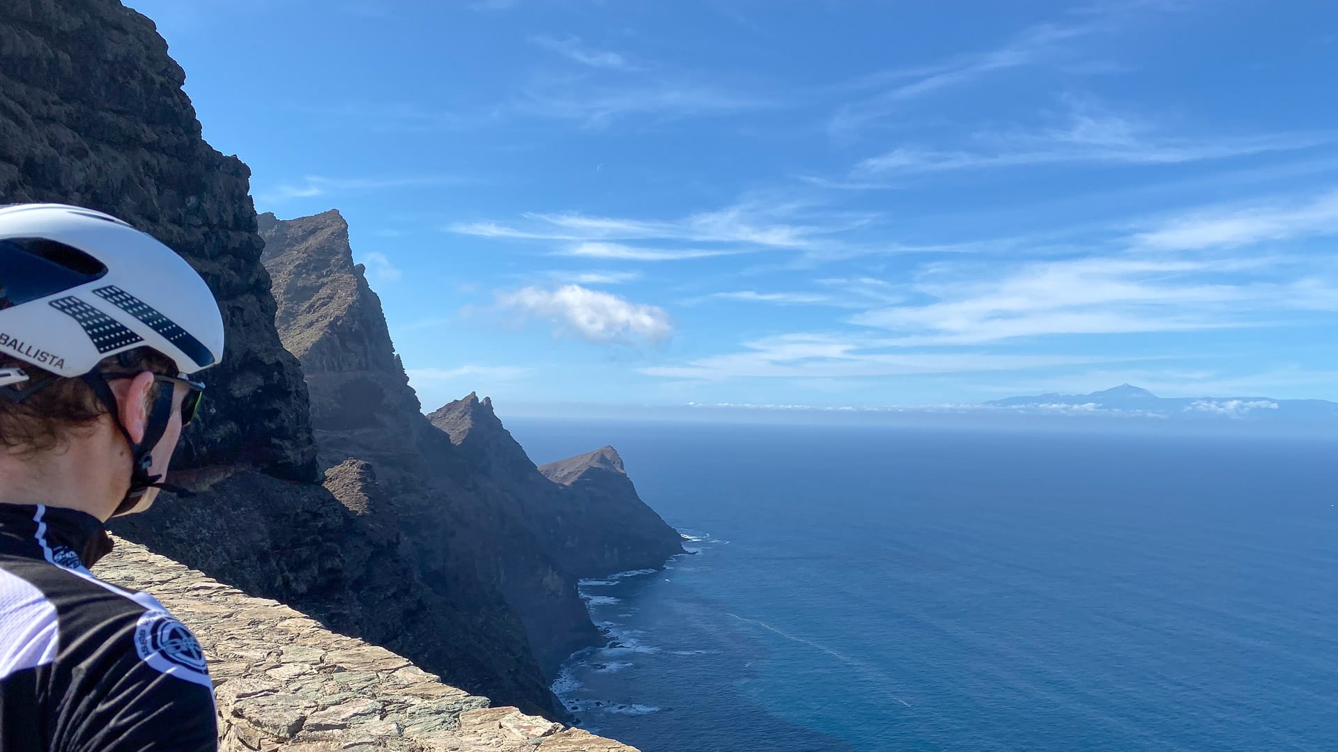
It’s not a particularly beautiful climb visually speaking, but at the top, the view out to Mount Teide on Tenerife, and along the vertical volcanic cliffs, is worth seeing.
When we were there, the road any further along the coastline was blocked and we’ve subsequently heard that it’s permanently closed from this side. Again, check with a local to see whether this has changed as it looks like a fantastic road to explore when it’s possible to do so.
Note: This is a section of the ride that could be skipped if you don’t fancy the extra 18 kilometres 400+ metres of climbing it involves.
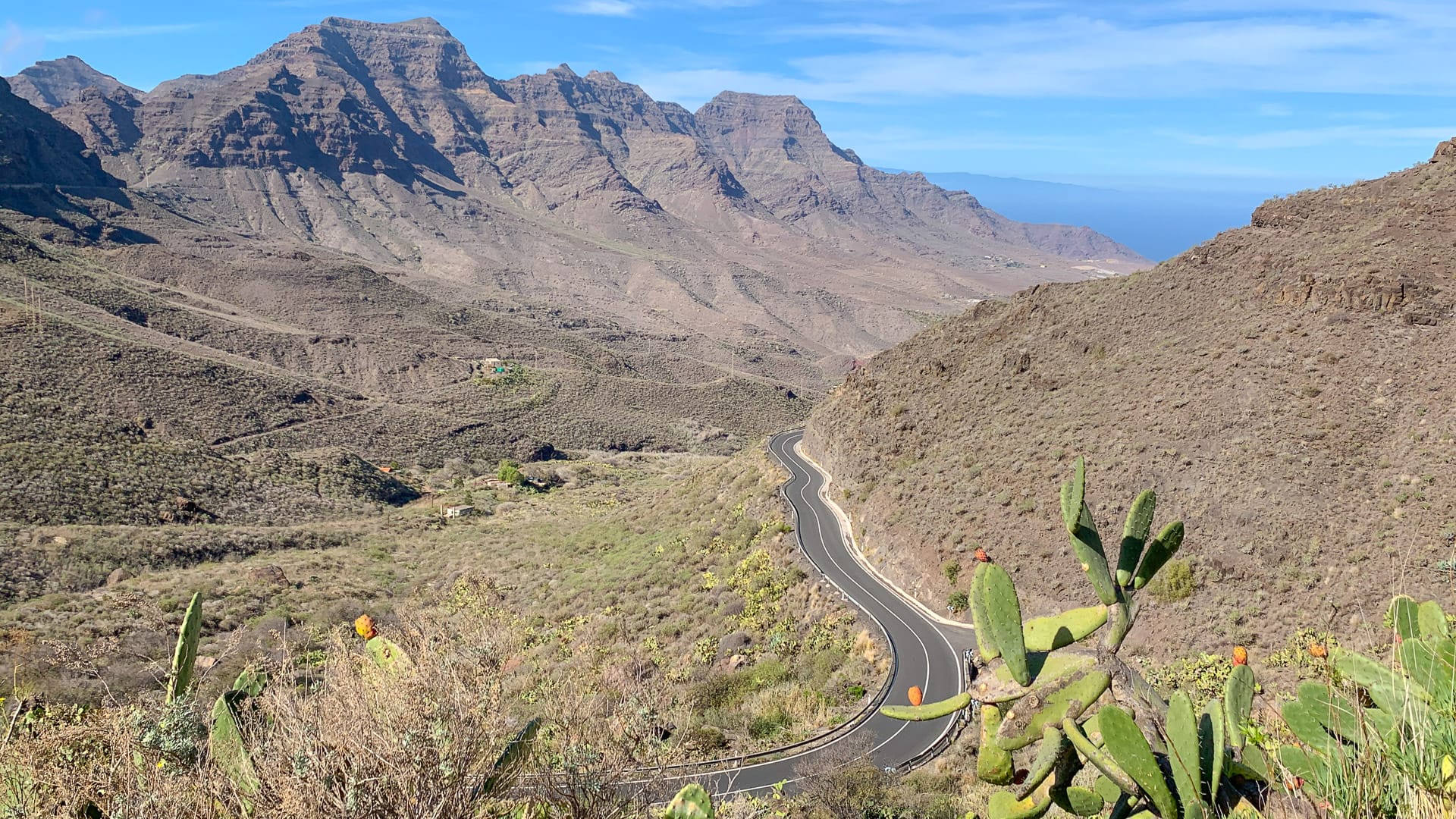
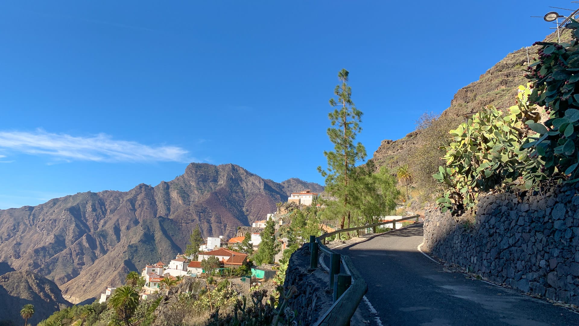
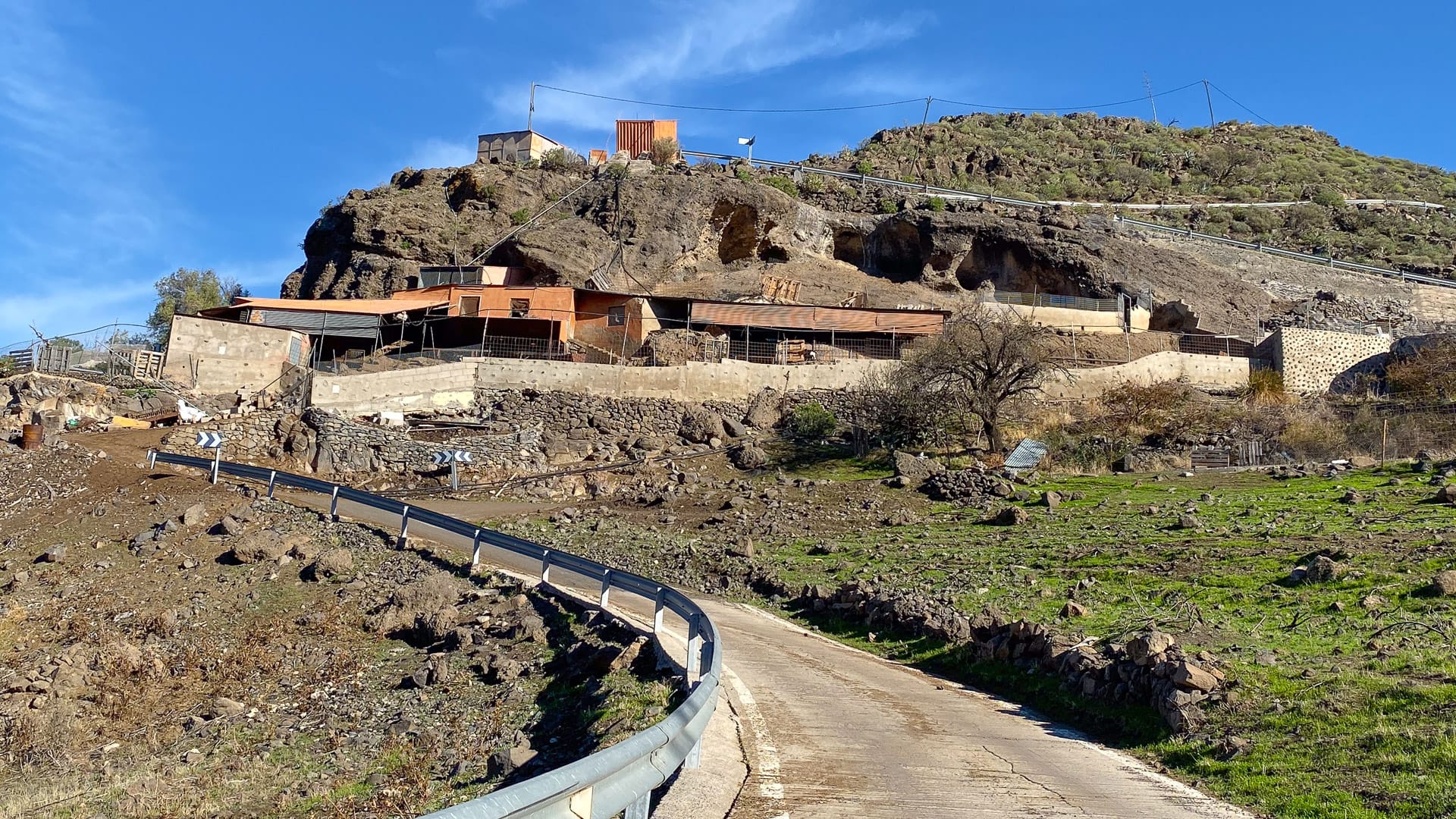
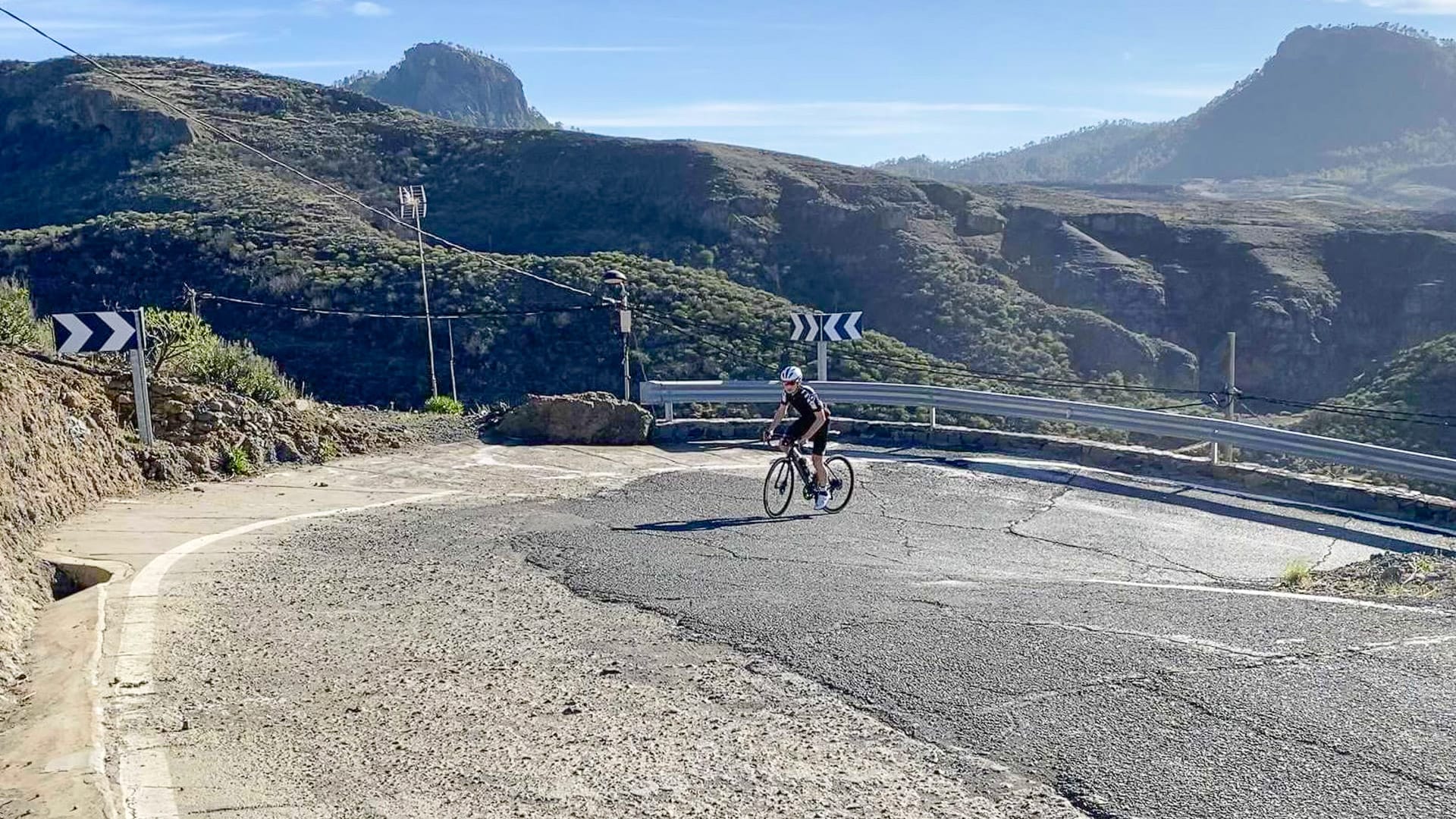
3. San Nicolas to turn off for Valley of the Tears: 51 – 64.5 kilometres
You leave San Nicolas on the narrow GC210, past banana farms and a dry river bed.
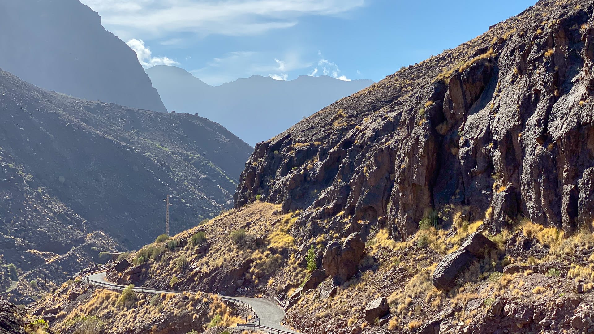
You’re soon climbing up into a narrow rocky red valley, with vertical cliffs either side of you. It feels like you’re heading to the end of the world. There’s little traffic, which is fortunate since two bikes would pass each other but cars would spend some time maneuvering…
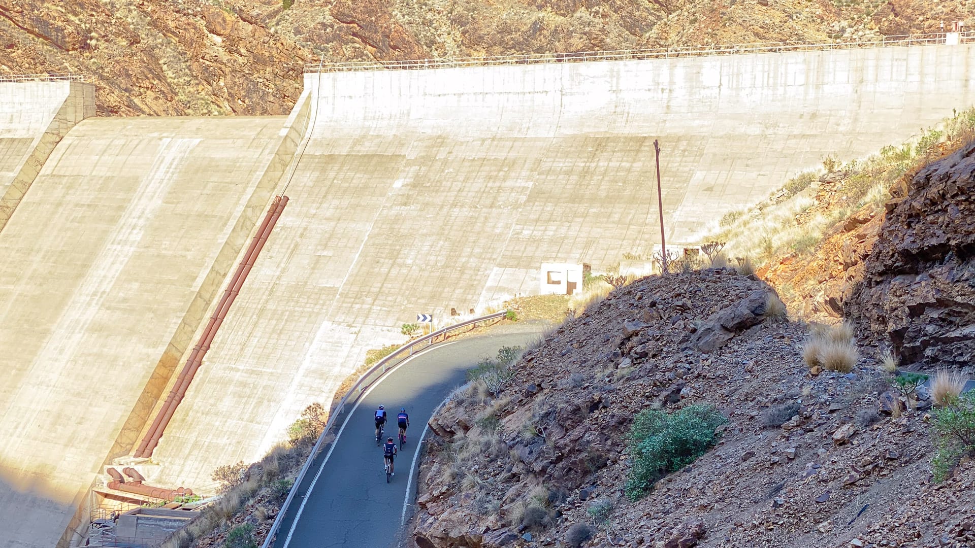
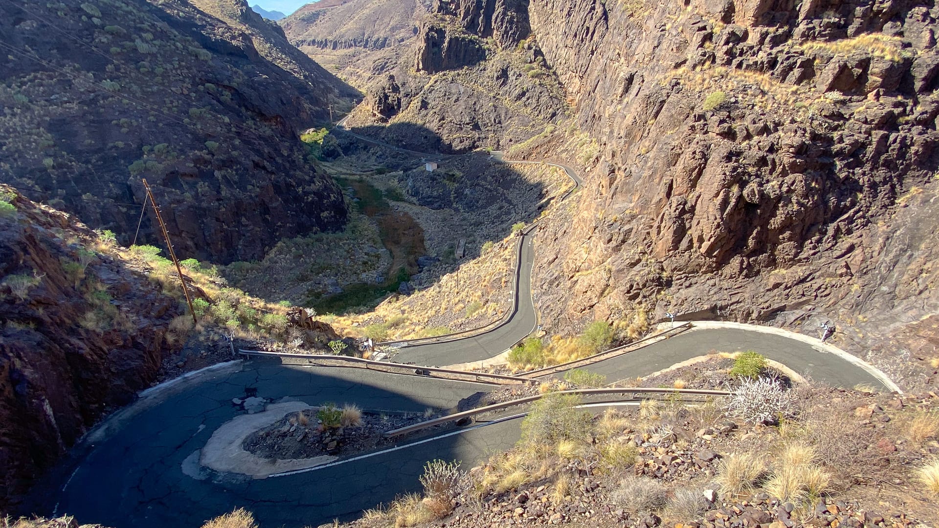
Gradients start off relaxed out of San Nicolas, but you’re soon dealing with kick ups into the double digits, especially through the two short but crazy hairpin sections that rear up alarmingly above you like a wall. The second set spits you out at the top of the Presa del Parrallilo dam and is the final big obstacle before the Valley of the Tears (VOTT) junction.
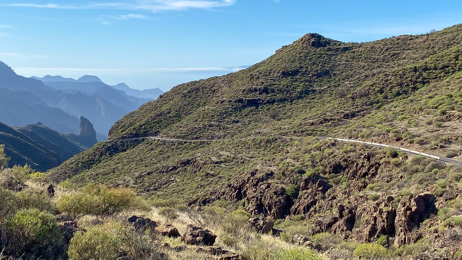
Enjoy the short descent from the top of the dam down the other side to the turn for the VOTT – it’s the last descent you’ll see for a while.
Note: It’s easy to look at the route profile and think these 13 kilometres out of San Nicolas to the VOTT turn will be easy-going. But they’re not. The bigger climbs to follow make this section look okay, and the ups and downs make the 4% average look easy, but there are some pretty brutal ramps and the road surface is not good.
Thought this section was hard? You ain’t seen nothing yet!
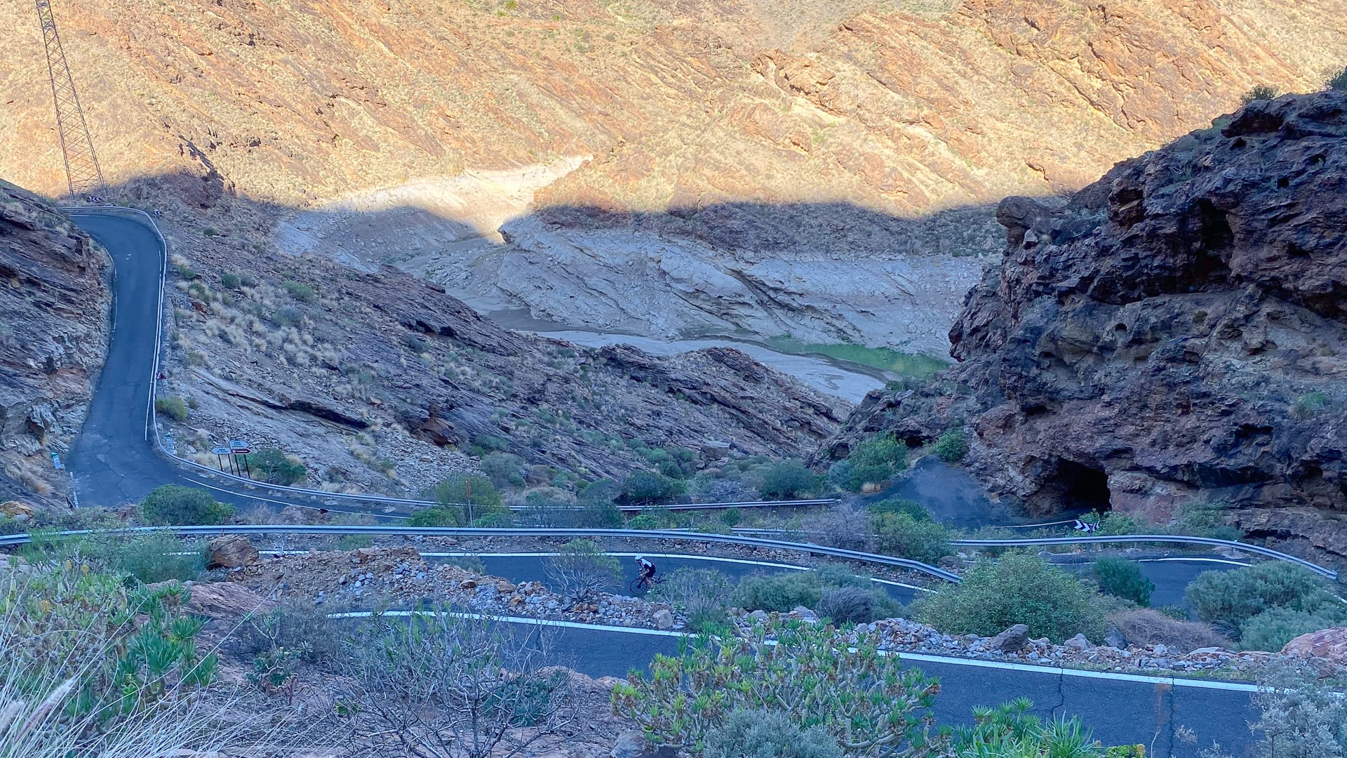
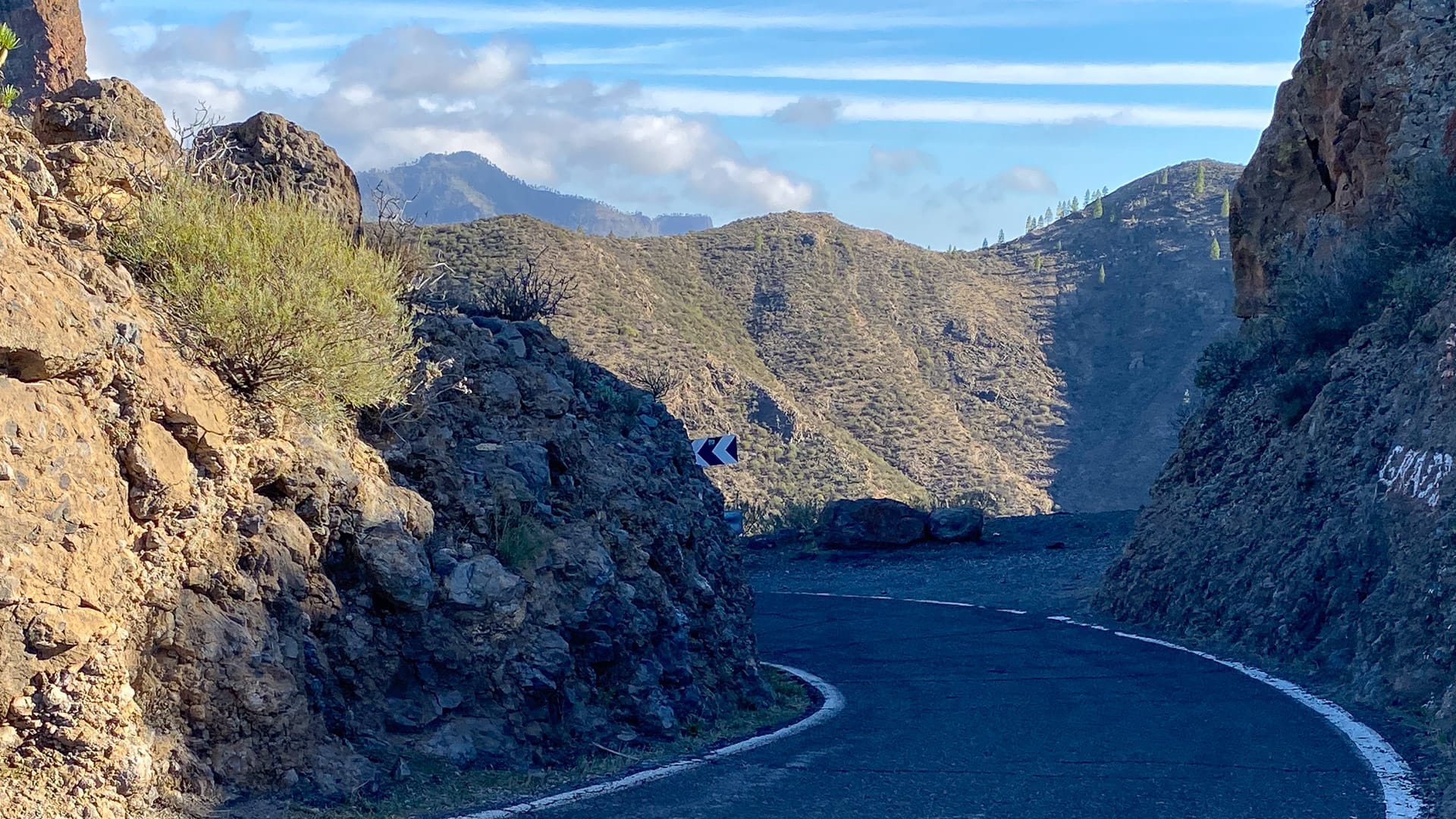
4. Turn off for Valley of the Tears to Ayacata: 64.5 – 76.5 kilometres
Be aware: when you look at the stats, the next 11 kilometres at 8% average sounds manageable. But they are extraordinarily tough. There’ll be some serious swearing going on if you’re not fit and haven’t got forgiving gearing!
The start
Try and keep your momentum as you take the right onto the GC606 VOTT road. The switchbacks at the bottom are brutally steep and just keep on going up – what’s more we found the road surface absolutely terrible here! Lose your momentum and you might well find yourself walking, unable to clip in again…
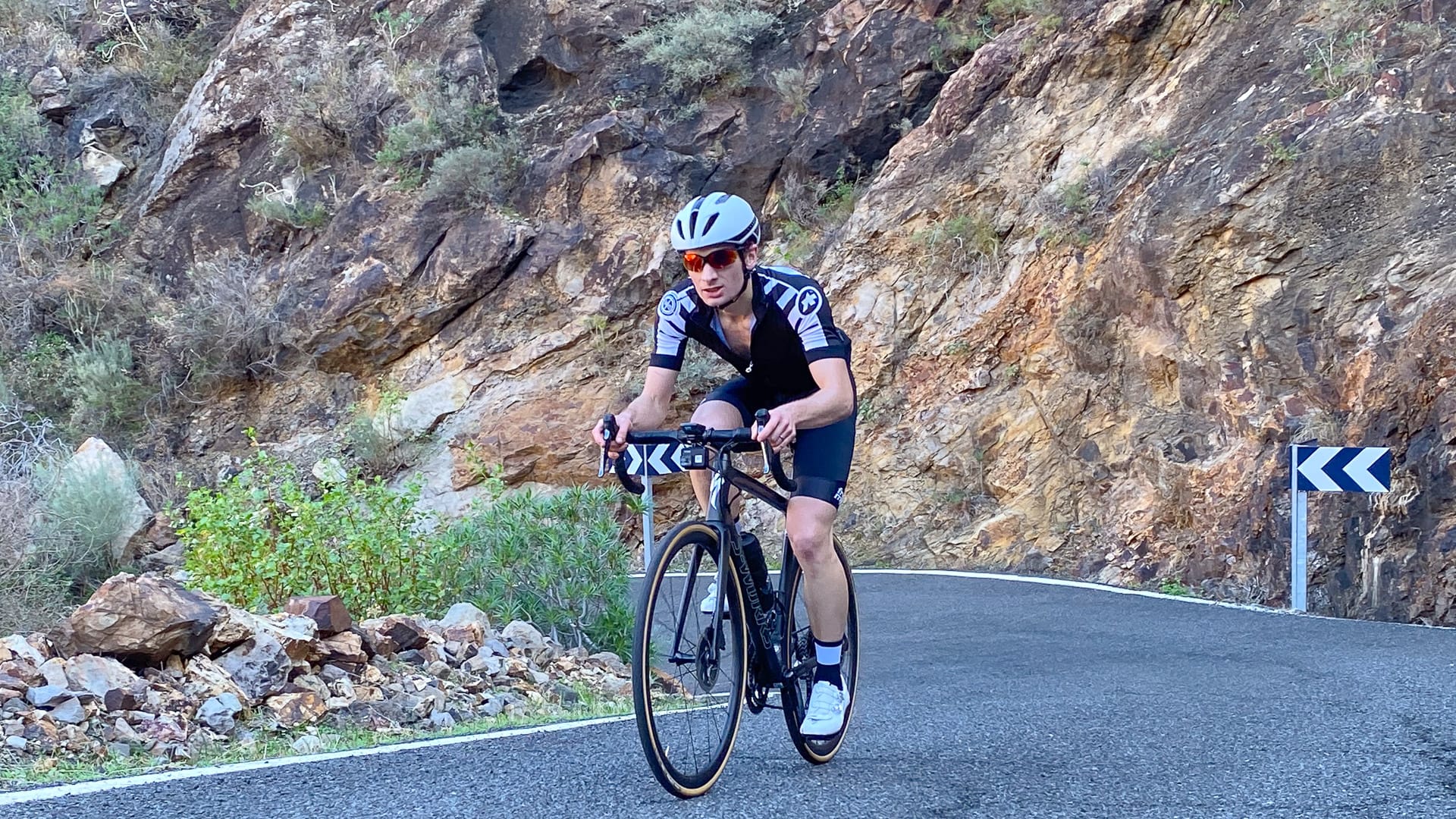
The first kilometres after the turn off are particularly punishing – Ride with GPS gives an average 13% and a 21% maximum, but it felt worse than that to us! Perhaps lack of fitness, perhaps the fact it’s difficult to avoid riding this road in the middle of the day (due to its location) and the heat can be intense.
The views are spectacular, but it can be difficult to focus on them! At least there’s an excuse to stop and take a photo if you need a rest…
Carrizal
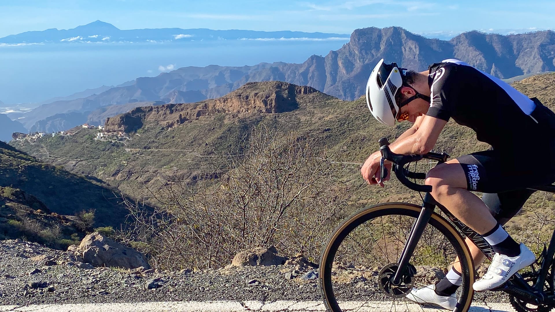
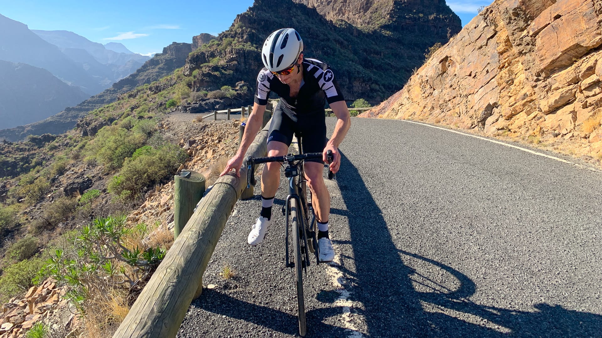
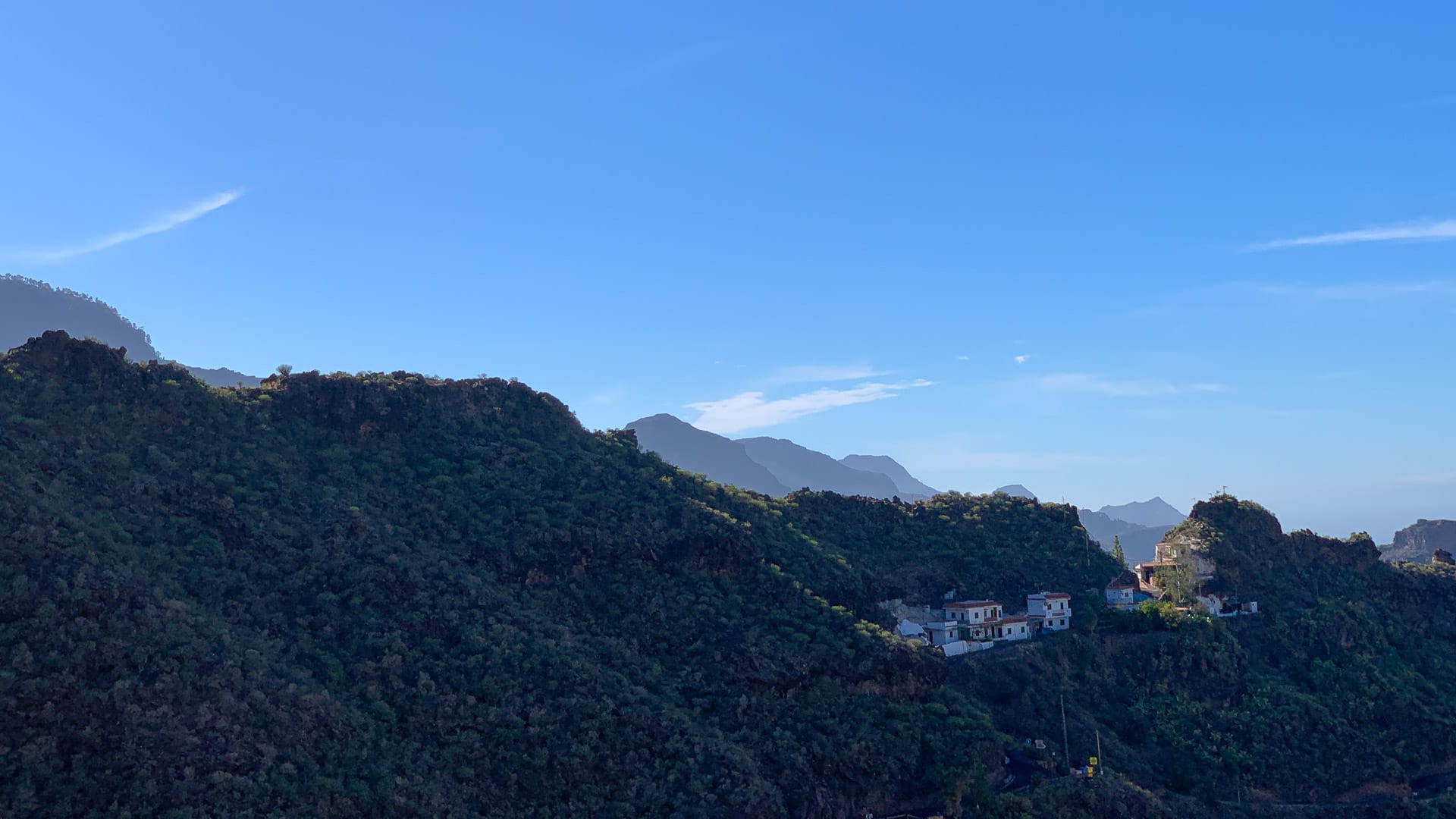
About 4 kilometres after the turn off is the hamlet of Carrizal de Tejeda, which clings to the side of the mountain and marks another steep section of climbing with gradients at 20%+ around the hairpins. The scenery here is much greener than earlier in the VOTT.
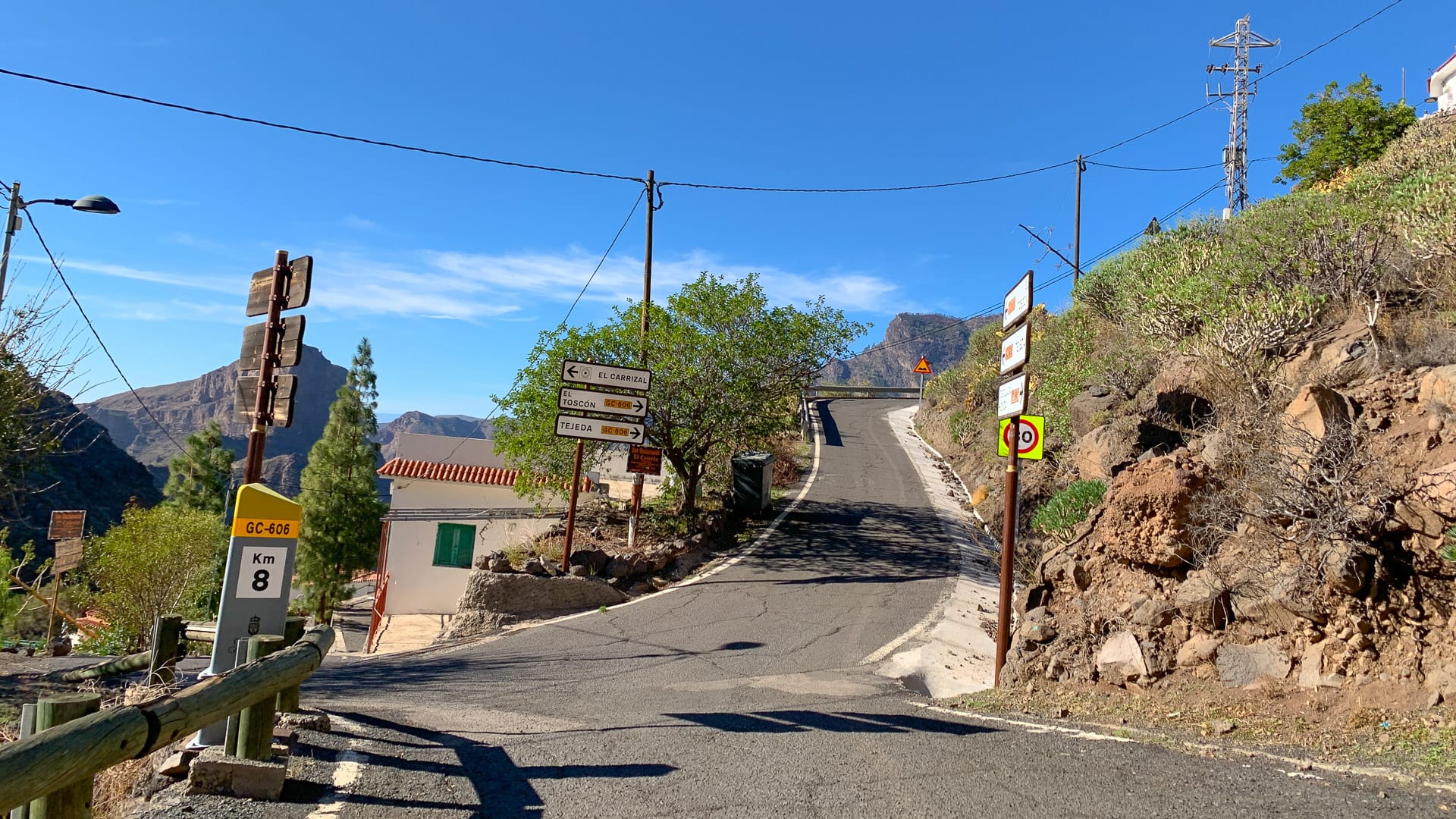
El Toscón
It gets steep again just before El Toscón, with relentless climbing continuing through switchbacks taking you past a smelly goat farm and finally to the hamlet itself. The hamlet provides some sort of marker that you’re around two thirds of the way. But don’t expect anything in the way of a friendly café!
Keep on climbing through the village and out, ever onwards for the last three or so kilometres. Gradients aren’t quite as crazy as earlier, but your legs will still be burning!
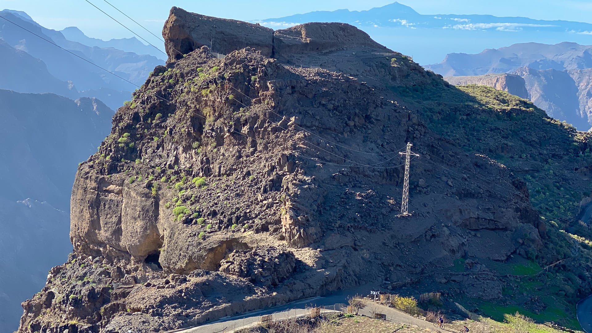
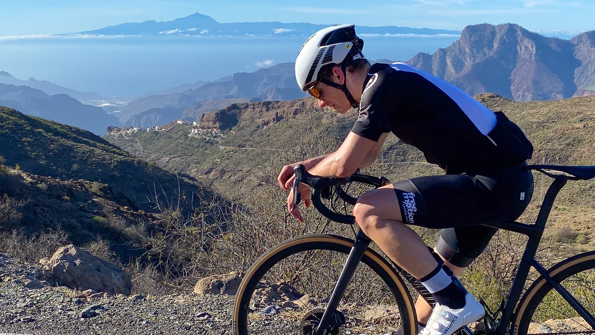
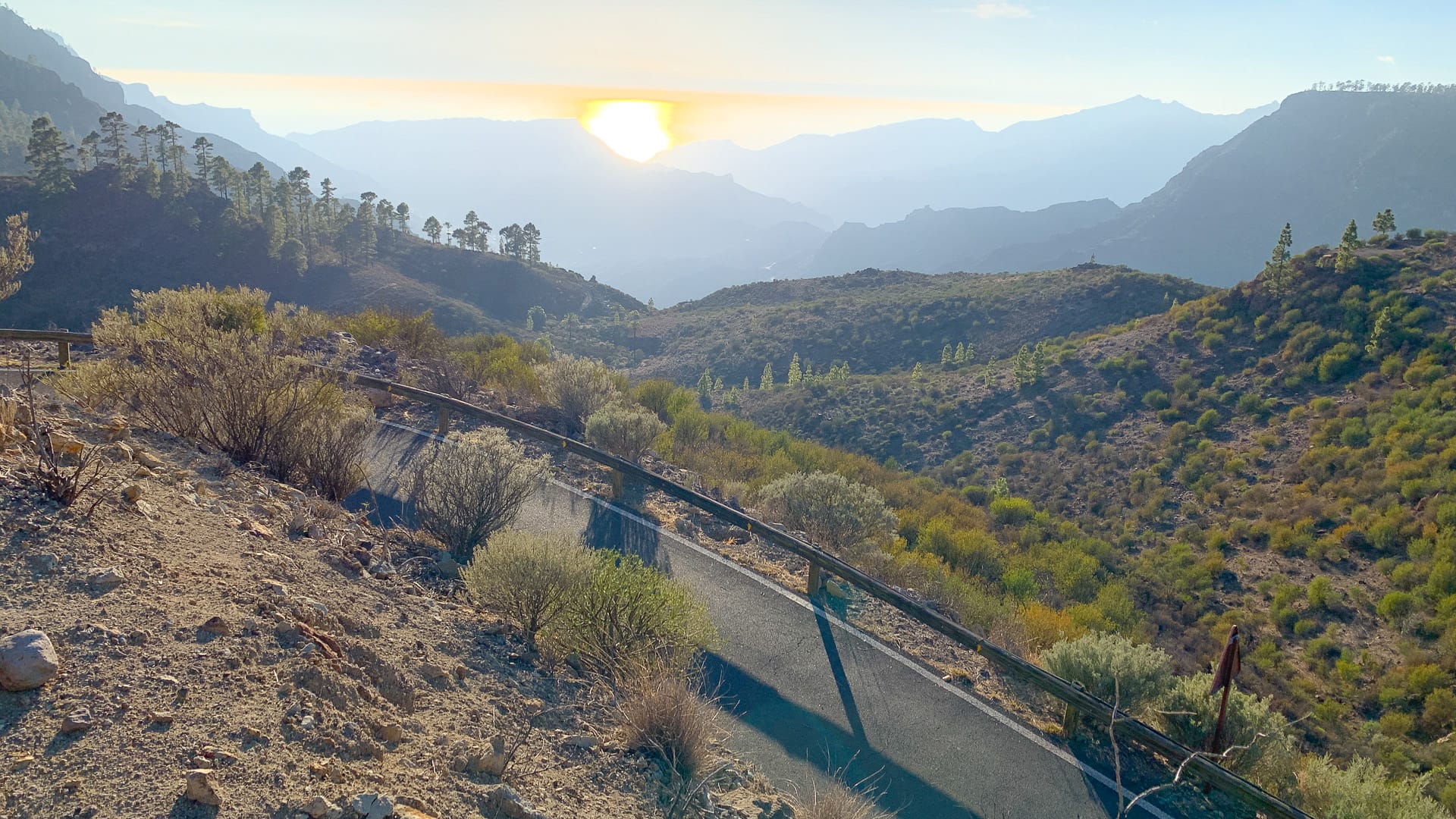
The top
Finally, you reach the Mirador degollada del Huma, just before a sharp left hand corner – and you’ve made it! The top of the world!
The view from here definitely needs to be appreciated – stretching all the way back to San Nicolas and (if you’re lucky) even as far as Mount Teide on Tenerife. Check out the photos in the Highlights section above.
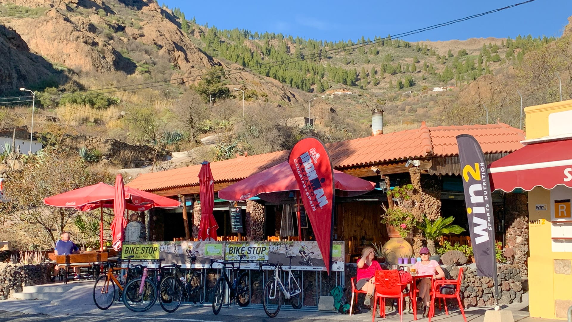
Descend a few kilometres to the junction with the GC-60 and savour the sense of being out of the wilderness! At Ayacata we suggest enjoying a well-deserved feed up at one of the little cafés by the road (plenty of bike racks).
5. Ayacata to Puerto de Mogán: 76.5 – 114 kilometres
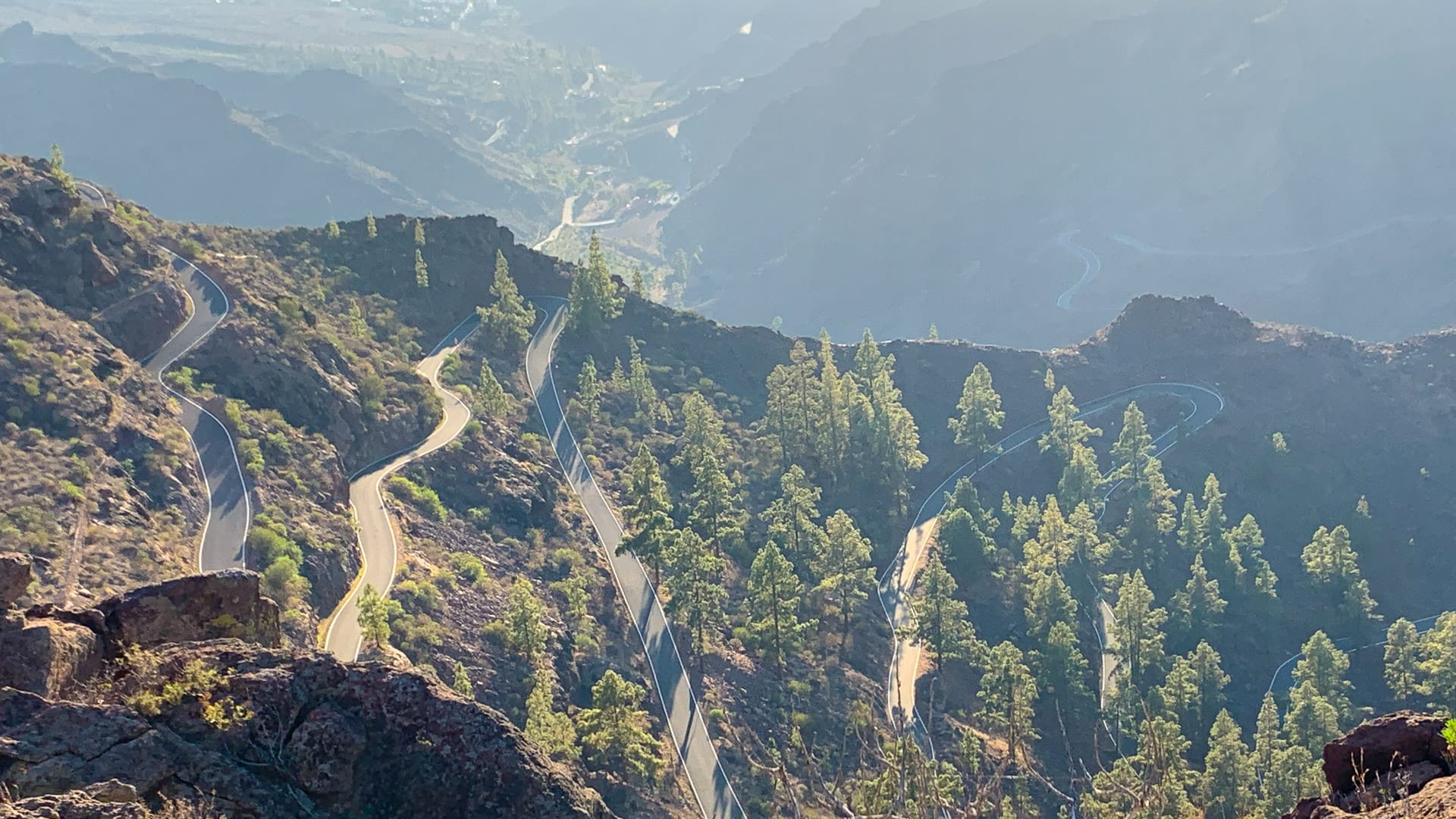
From Ayacata, you’ve got choices. We suggest the superb descent down the GC505 to Playa Mogán, but if you’re based in Maspalomas you may want to stick with the GC60 all the way home.
In any event, the good news is that from here you’re (pretty much…) downhill all the way home!
The GC605 down to Mogán is a glorious descent. When we rode it, the road surface on the first third was mixed with sections of old and new tarmac – but get off that and you’re flying. Heavenly twists and turns, the dappled light of the pine forest and reservoirs to your right and left. Then down further, majestic views down the valley towards the sea and fantastic, endless switchbacks sections that drop you down magically all the way to the junction with the GC200.
From there you’re riding the same rode you came up on through Mogán at the start of the ride.
Café stops
This is a very rural ride. The hamlets are few and far between and, even if it looks like there might be a restaurant marked on the map, don’t assume it’ll be open/still in existence.
We stopped in Mogán, La Aldea de San Nicolas and Ayacata.
When we visited, there was also a drinks seller at the Mirador del Balcón, but he wasn’t doing a huge trade, so we’re not sure how regularly he’s there. Other than these, there really is very little in the way of water/food shops so pack accordingly.
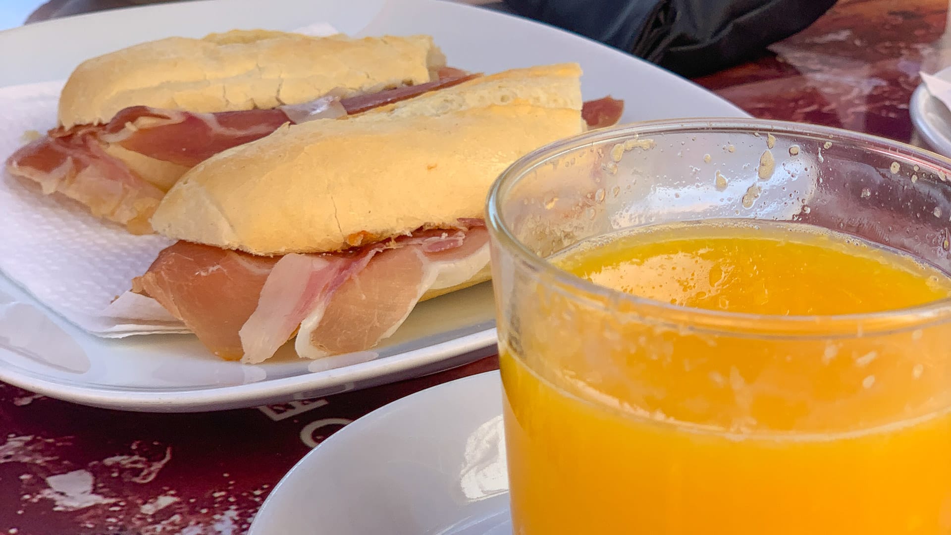
We found a nice café to refuel at in San Nicolas. It’s a good idea to replenish your energy levels here and ensure you’ve got enough water and snacks with you for the journey; Valley of the Tears is very remote and you won’t find shops/restaurants to help you out if you bonk!
Restaurant suggestions:
These are ones we noticed while riding – there may well be others! Add your favourites in the comments below.
Restaurante Las Canadas, Carretera GC 200, km 97, Veneguera
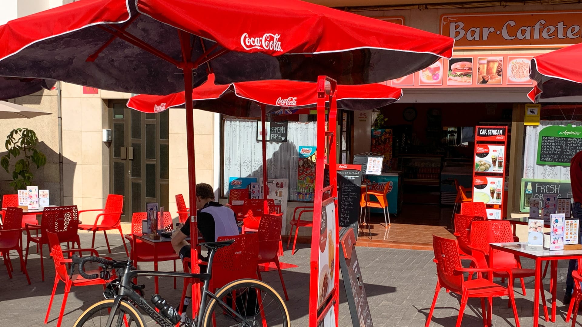
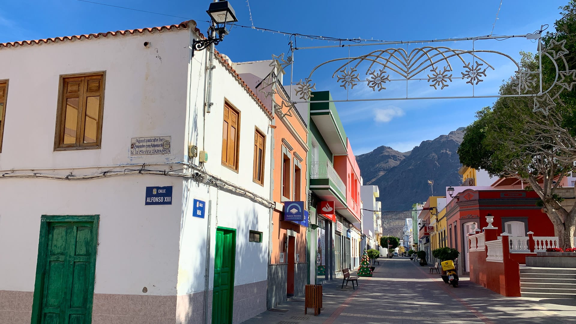
Bar Cafeteria Semidan, Calle Alfonso XIII, 6, La Aldea de San Nicolas
Chiringuito Veneguera Los Azulejos, Los Azulejos, Carretera San Nicolas
Fran’s Pizza House, Calle Algonso, 13, La Aldea de San Nicolas
Casa Melo, Ayacata, 37, San Bartolomé [There are a few cafés in this little row in Ayacata – it’s not obvious which is best!]
Accommodation
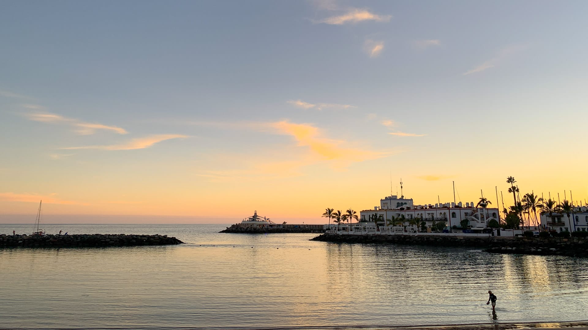
Mogán is the best base for this ride. It’s doable from Maspalomas, but you either need to be up for a very long day in the saddle or get a transfer to the start.
Check out our tips in our main guide to Gran Canaria and our in-depth look at the best places for cyclists to stay in Gran Canaria for more detailed information.
Tips
Don’t miss our tips for riding in Gran Canaria and loads of other information in our ultimate guide to Gran Canaria.
Route notes
If you’re staying in Maspalomas rather than Puerto de Mogán, there are three options to do this loop – be aware they’ll all add extra distance and climbing to your route:
- Ride the coast road (the GC500) from Maspalomas to Puerto Rico – you can’t cycle all the way to Puerto de Mogán because there’s been a landslide so the GC500 is now closed for the final section. From Puerto Rico, take the ferry to Puerto de Mogán (there are two ferries that go from Puerto Rico to Puerto de Mogán);
- Cycle the coast road (GC500 from Maspalomas) to the GC505 and climb onto the loop just above Casas de Veneguera;
- Cycle the GC500 onto the loop, hitting it at Ayacata;
- Cycle the GC60 onto the loop, hitting it at Ayacata; or
- A combination of these – out on one of these routes and back on another.
There’s a bit of scope to make this route easier by removing the out and back up to the Mirador del Balcón on the GC200, just before San Nicolas.
We found the road surfaces generally pretty good, with the notable exceptions of the GC210, the Valley of the Tears (GC606), and the first third of the descent from Ayacata on the GC505.
Also much of the road to Mirador del Balcón – the GC200 – is not in a great state, probably no surprise since the road has been closed after the Mirador since 2015 due to a landslide and doesn’t look likely to open any time soon.
Ride this route in the direction we’ve suggested. You really don’t want to be descending Valley of the Tears – we came across someone doing that and the screeching rim brakes didn’t sound much fun. The road surface would also make it a seriously uncomfortable ride.
General points of interest
The Azulejos de Veneguera have been classified of international importance for their interesting mineral deposits formed about 14 million years ago during volcanic eruptions at the edge of the volcanic crater Caldera of Tejede.
The GC210 runs along a canyon where the central drainage basin of the island opens up towards the valley of La Aldea and the sea. The three reservoirs you see are testament to how the waterway has been managed. La Presa de Caidero de la Niña reservoir has important historic value because it was the first time concrete was used in such constructions in the Canary Islands. It was finished in 1958.
Please support Epic Road Rides
A huge amount of time and effort goes into the article you’ve just read, all with the aim of helping you!
If you found what you’ve read useful, I’d really appreciate it if you dropped something in the tip jar here.
It’s a way you can say thank you and help us carry on creating top quality content with no annoying ads and no pay wall.
Looking for an organised cycling trip?
If you want someone to help you plan and book your cycling holiday, fill out this form. We aren’t a tour operator/agent but we work with lots of people who are and will do our best to put you in touch with someone that can help (within 24 hours where possible)!Clare Dewey is a cyclist with a passion for travel. She set up epicroadrides.com in 2018 to help make it easy for cyclists to explore the world by bike. Today her mission is still inspiring cyclists to discover new places on two wheels - and doing what she can to make sure they have the best possible time while they're there. Clare has visited 50+ destinations around the world, many of them by bike.
Want to connect with Clare? Find her over on LinkedIn.
First Published: 18 September 2021
All metrics in this article are approximate.
The contents of this website are provided for general information purposes only. It is not intended to amount to advice and you should not rely on it. You should carry out your own due diligence and risk assessments and take professional advice. Views expressed by interviewees or other users of this website do not necessarily represent our views. We make no representations, warranties or guarantees, whether express or implied, that the content on our website is accurate, complete or up to date. If you use any information or content on this website, download from, or otherwise obtain content or services through our website, it is entirely at your own discretion and risk. Epic Road Rides Ltd disclaims all liability and responsibility arising from any reliance placed on the information and content on this website. Find out more here.
Thank you for this guide! Super helpful and good accurate descriptions of the climbs.
Thanks so much Kate, appreciate you taking the time to let us know. Happy cycling!
I did this ride today, your guide has been extremely useful in planning the ride and my holidays in GC. Nothing changed since you wrote about it. Goat farm still there and descent to mogan probably the best I’ve ever done. Thank you!
Hi, so great to hear the guides have been useful! Appreciate you taking the time to comment and let us know. Happy riding! Where’s next on your cycling trip bucket list?! Clare
Lovely article, I’m inspired to visit this island!
Hi Niel, thanks so much for taking the time to comment. Glad we’ve inspired you! Gran Canaria really is great!
Did this today having found this guide and it was absolutely amazing (and completely savage at the same time!). The guide was so helpful – without it we wouldn’t have know where to start!
One bit of news that we thought we should share is that the GC210 from San Nicolas to the turning for VOT is currently closed due to multiple rock falls on the road. It’s been closed for 4 months and the local that we spoke to did not know when it would officially reopen. That said, we were past the point of no return by then so chanced it and went cautiously past the closed signs – there was quite a lot of debris on the road but it was manageable. There were also a few (friendly) teams clearing the road so repair work is being done, however it didn’t look like this would be re-opened in the near future. For anyone deciding whether to do this route; it’s definitely worth it – the descent to Morgan is stunning!
Hi George, thanks for taking the time to share this – definitely worth people knowing about!
Fantastic guide which I relied on today for an epic ride. It really is spot on.
The earlier comment was super helpful and just to add that the GC210 from San Nicolas to the turning for VOTT is still currently closed (as of today) however the workmen didn’t mind me picking my way through the building site with my bike (the only non cycling part was like stepping stones over concrete just poured although there were two of us – helped to pass bikes one side to the other).
Would also like to add that it never seemed to be the gradient you could see but the gradient when you turned the corner that was more intimidating (but totally achievable).
I remember three notable kicks: (1) the start of VOTT, (2) El Tocscon G606 – pictured in this article, and (3) the Goat farm.
We tried to get an early morning bus (7.08am from arguineguin to Puerto Mogán) but they were full of workers and refused to stop. I recommend a taxi to Puerto Mogán as the ferry starts quite late (arrive at 9.30 putting you in midday sun on VOTT).
I also recommend a coffee/cake stop in St Nicholas, plenty to choose between.
Thanks for your insights Kevin!
Did this ride in early feb 2023. No debrie or boulders on the road at that time. Fully open. The advice to be prepared and well trained is to take very serious. It is hard and the poor tarmac in VOTT takes it’s toe.
I’d would recommend not having more then 6bars to smooth out that part of the ride. And eat and buy water in St:Nic. There is NOTHING efter you leave that town….Ride on!
Thanks very much for taking the time to comment and share your experience!
Hi Clare, again I have used one of your great guides. Thanks! I was in doubt whether I should do the Valley of tears, but the guide convinced me and it was amazing – and tough!
So pleased to hear our guides were useful for you – and that you conquered the VOT! A big achievement, it is very tough!